aerial

Turquoise Spring Waters

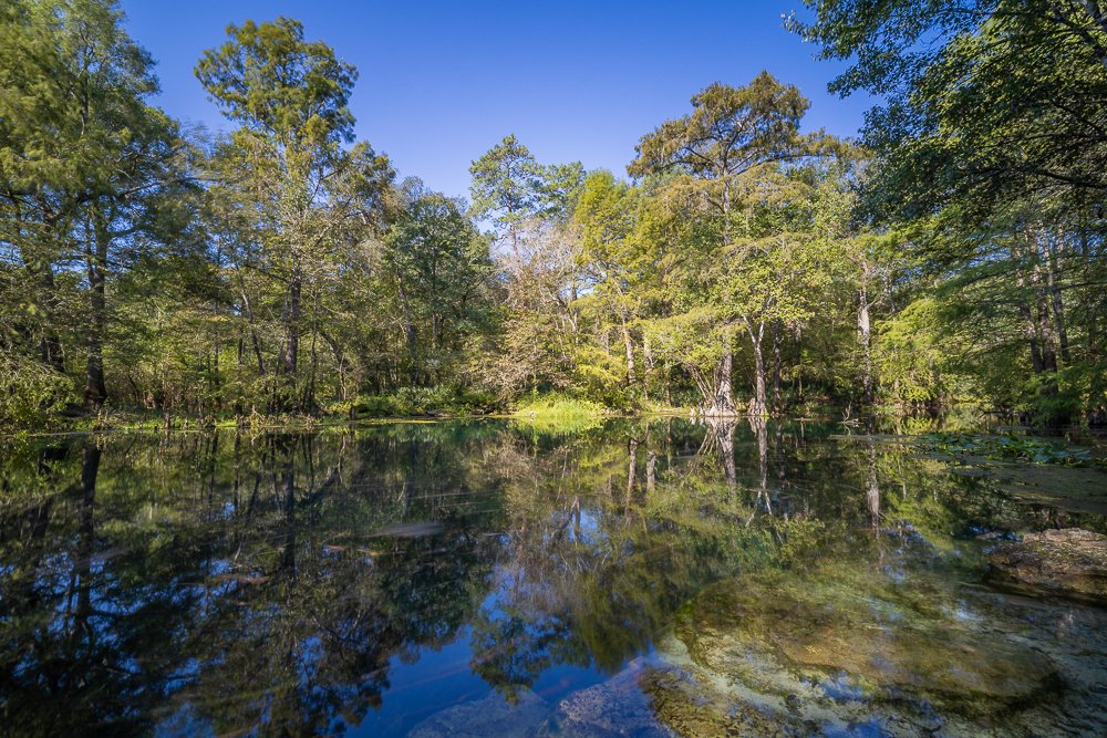
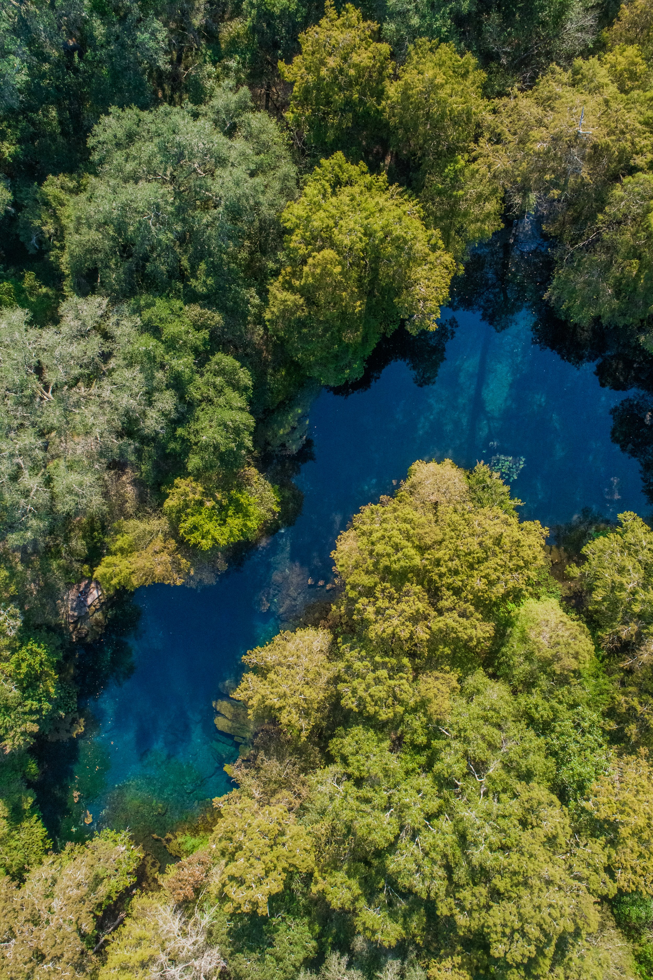
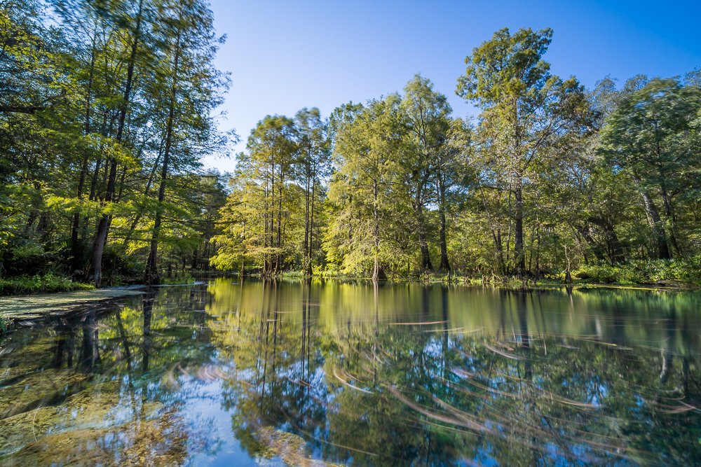
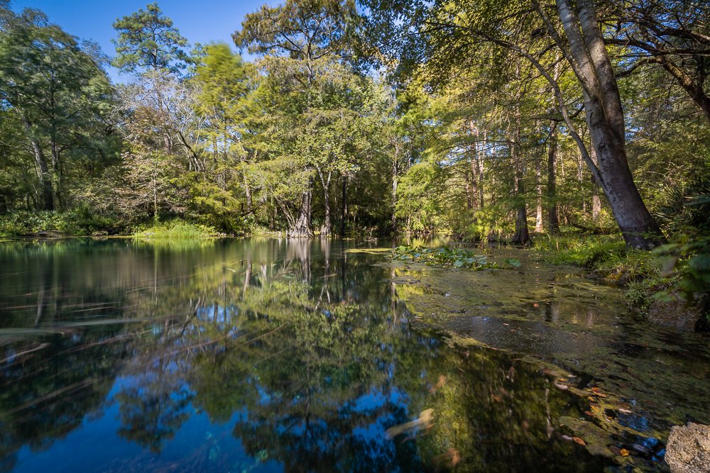
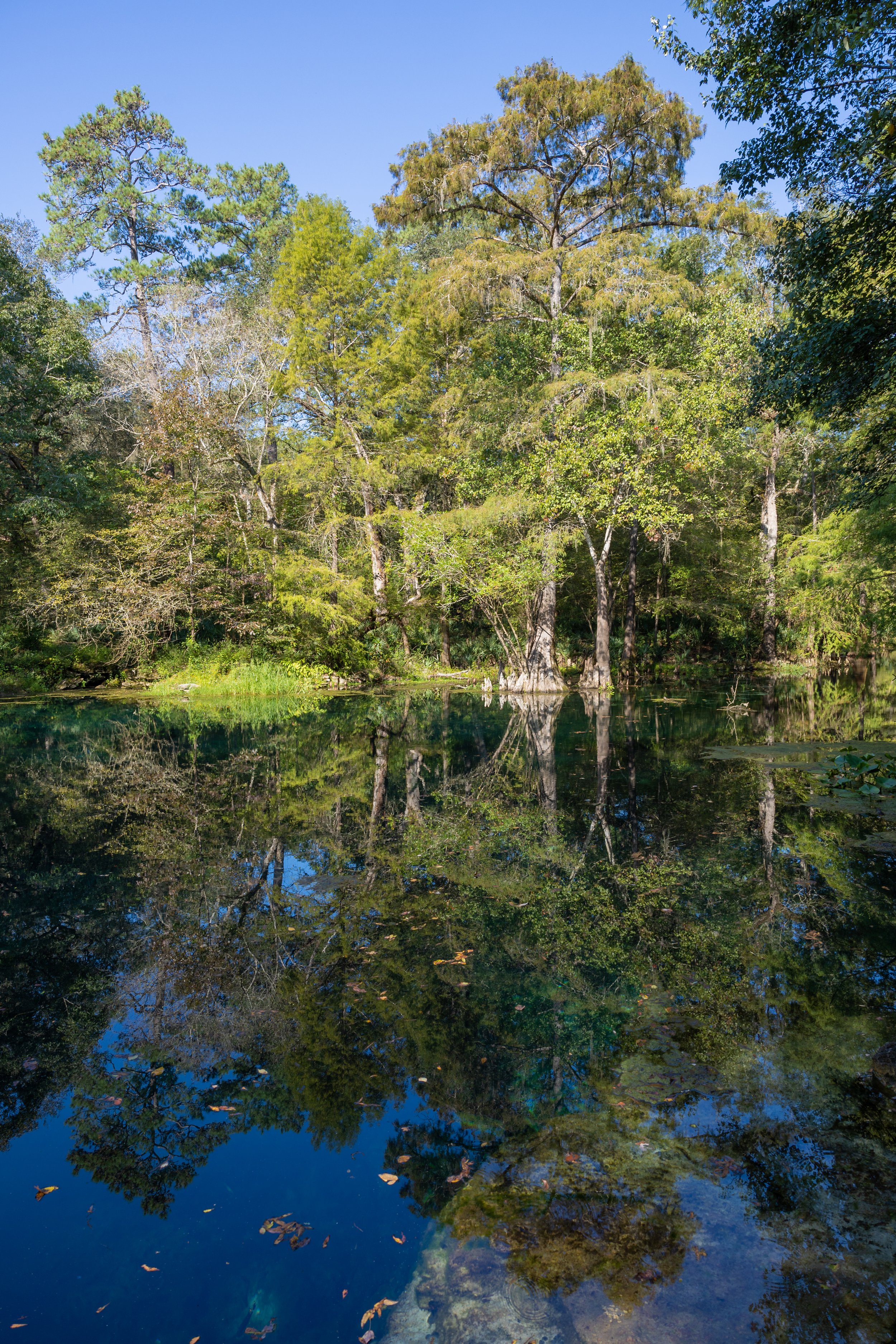
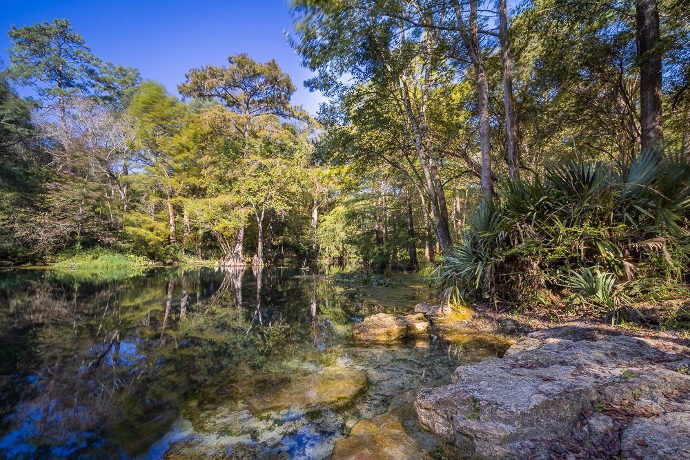
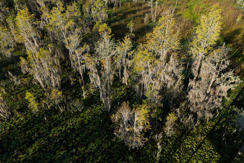
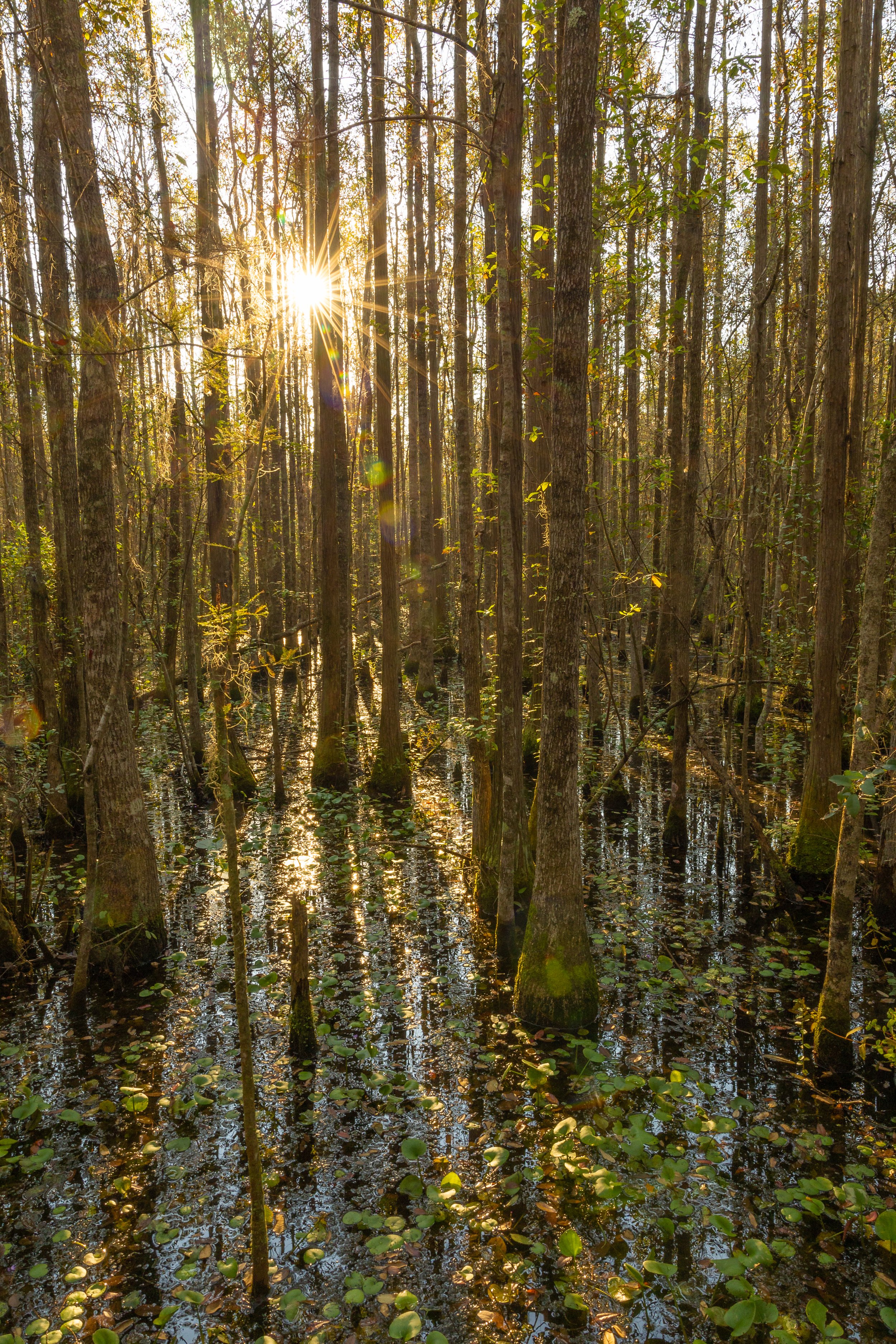
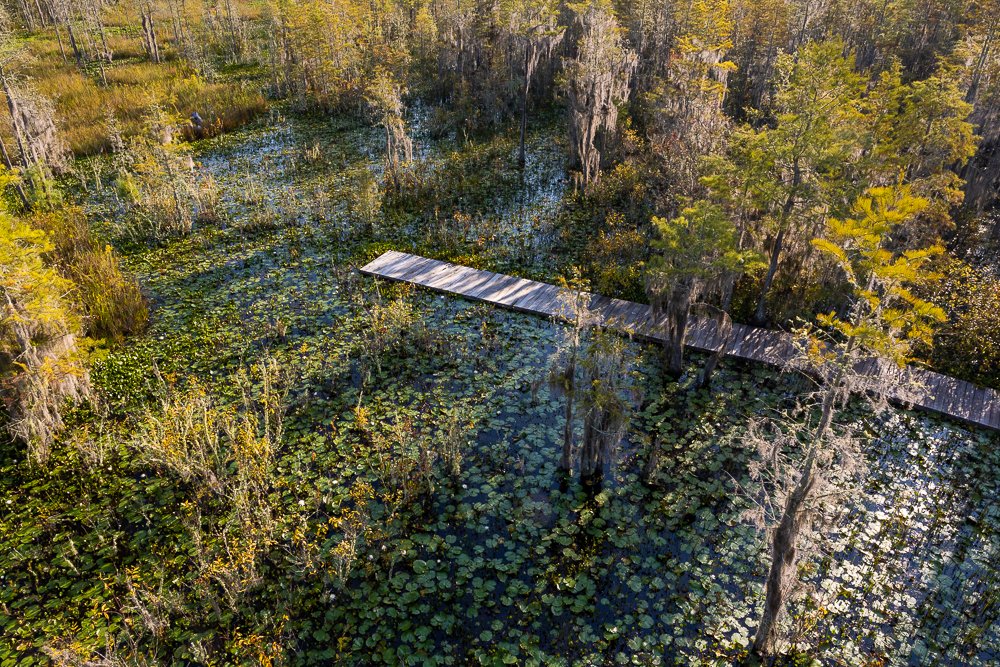
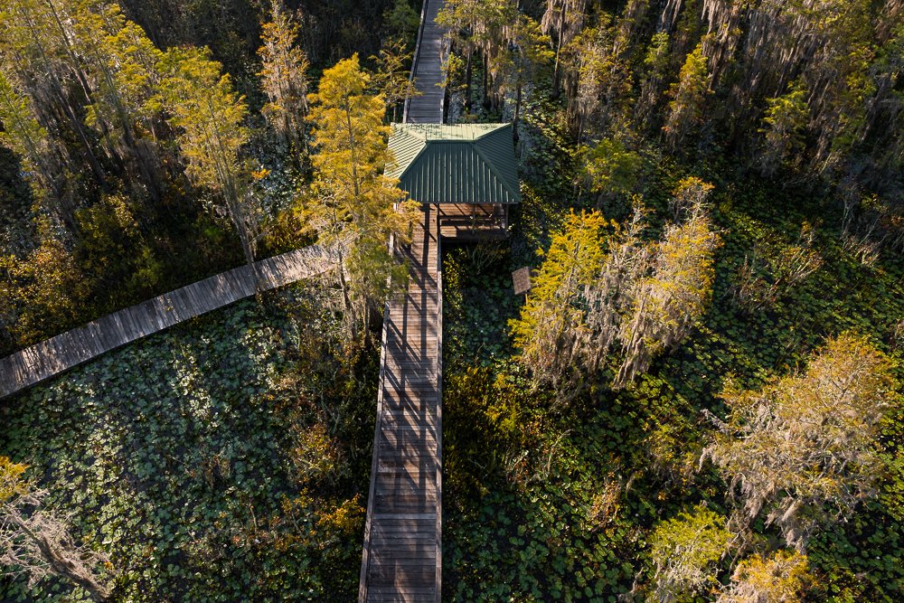
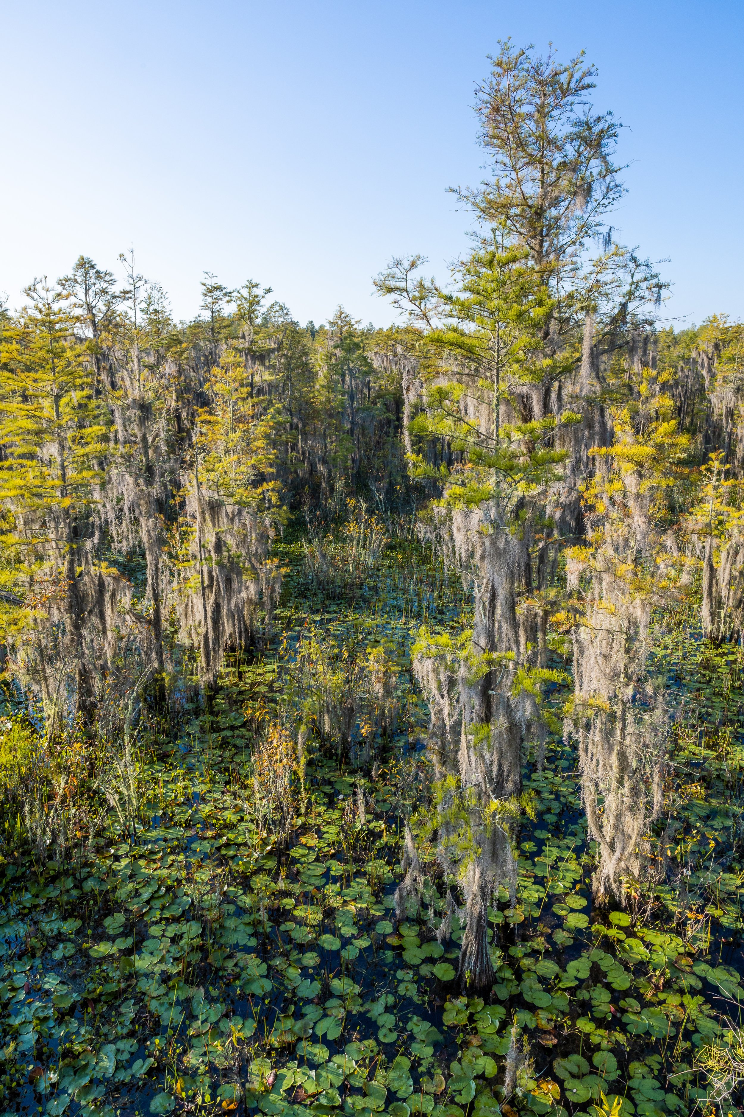
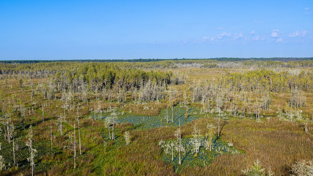
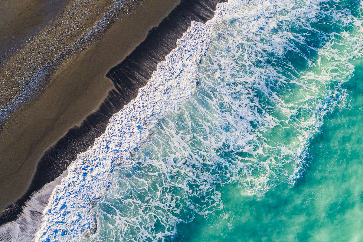
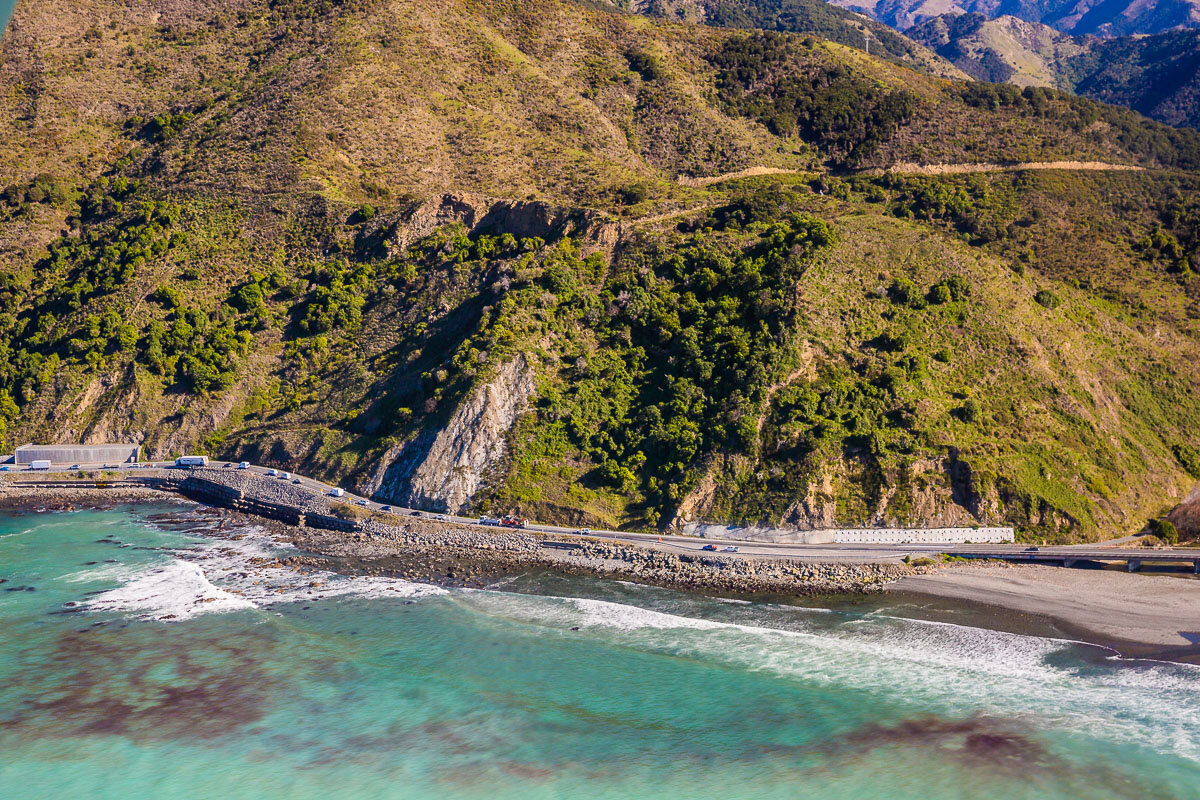
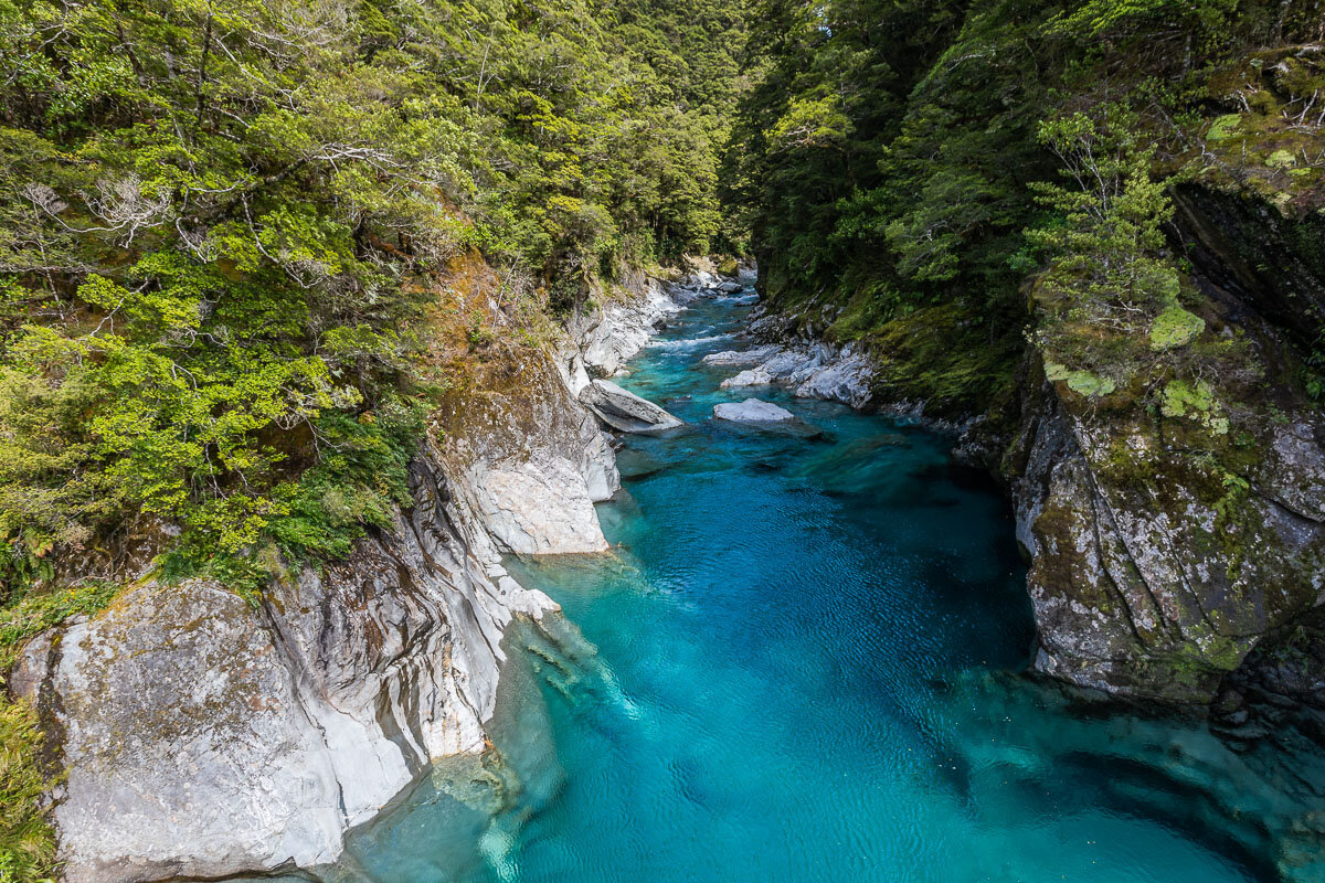
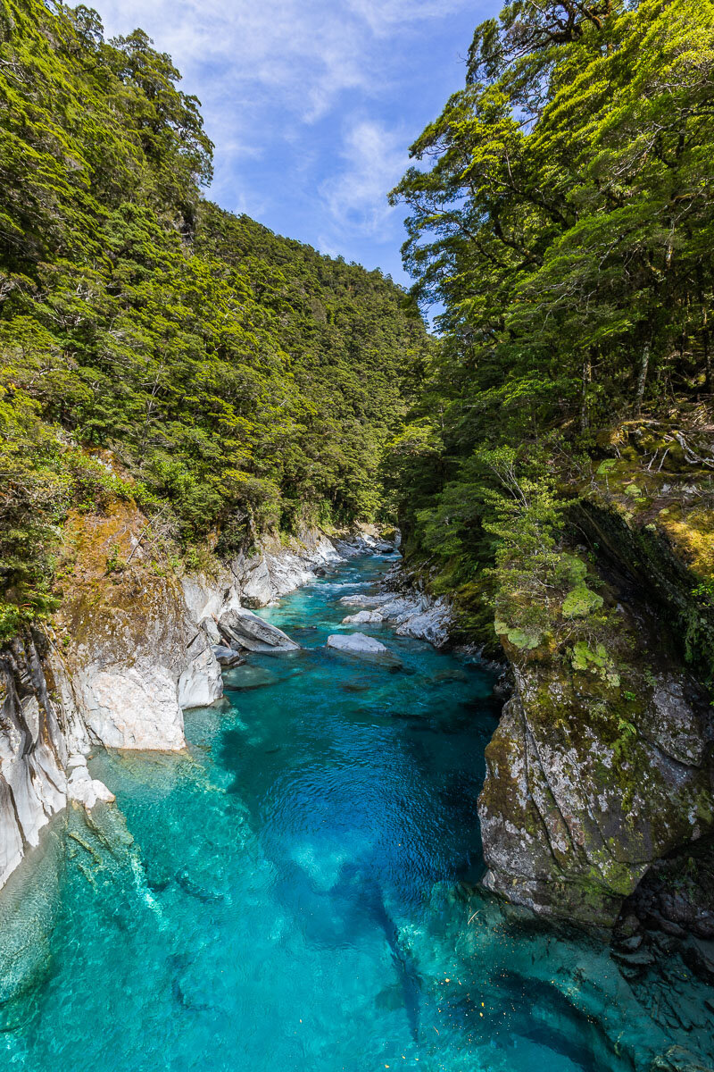
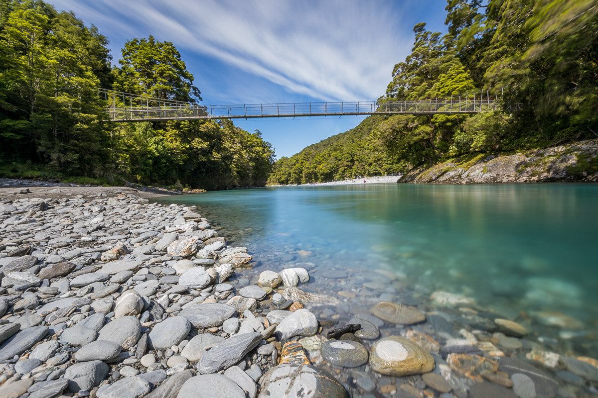
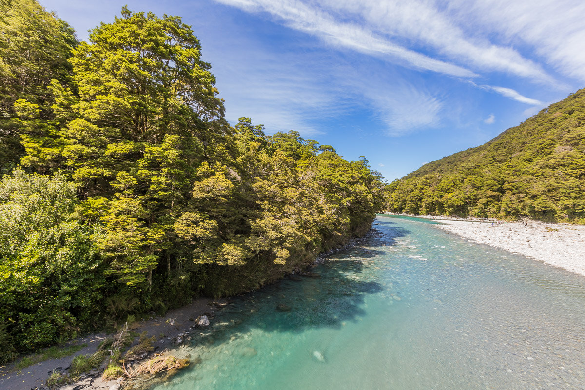
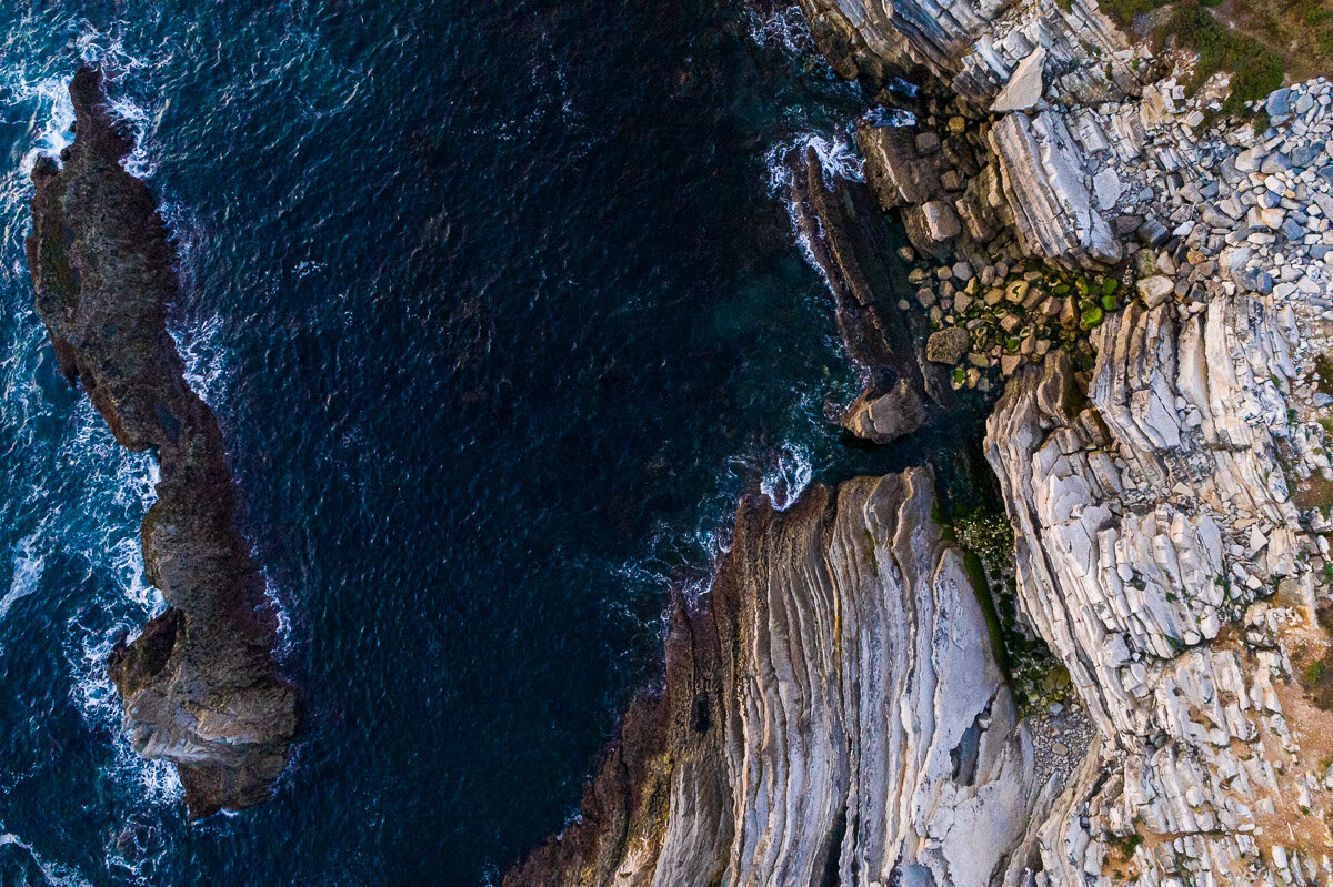
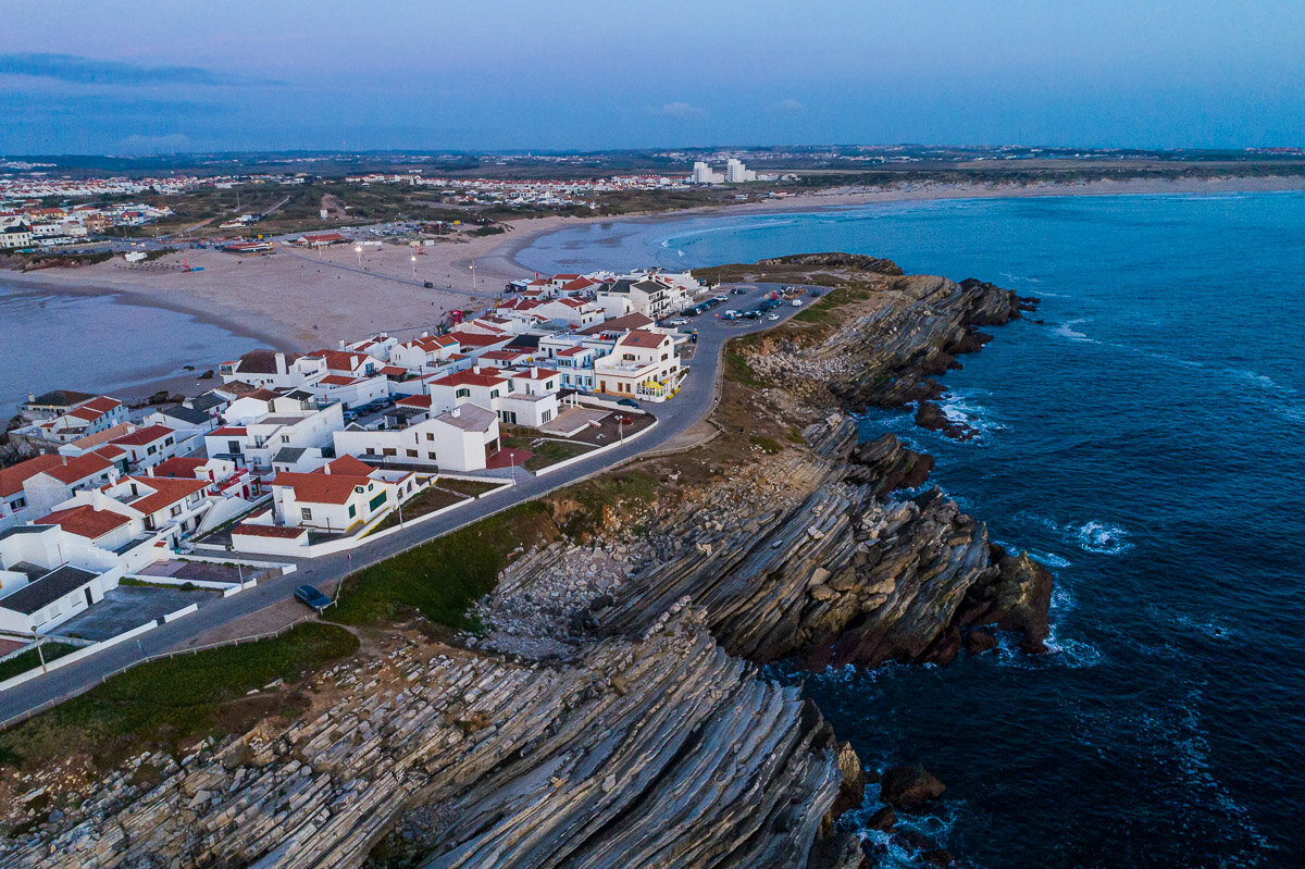
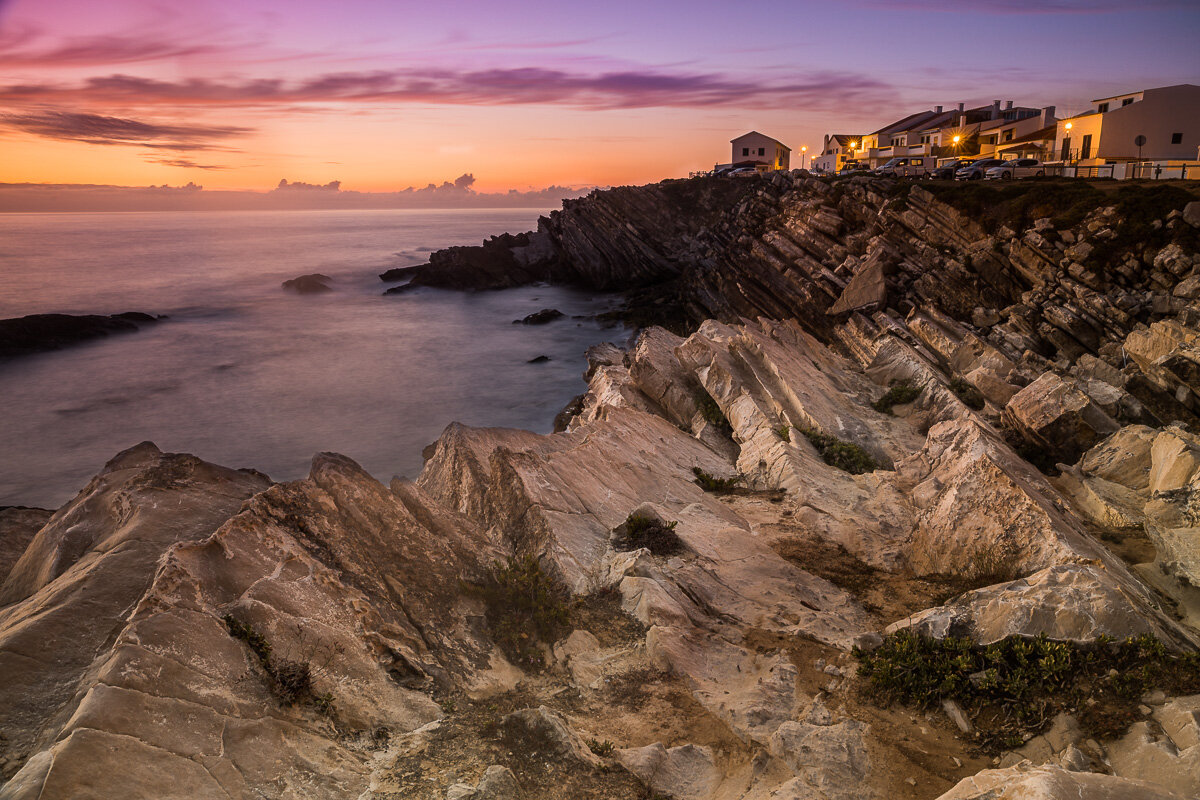
Continuing along our travels through Florida, we paid a short visit to Wes Skiles Peacock Springs State Park. This state park is home to several springs, including Peacock, Ginnie, and Little River Springs, which flow into the Suwannee River. It is a popular spot for underwater cave diving, with over 14,000 feet of cave passages open to visitors. Although we stayed entirely above the water during our visit, we did have the rare opportunity of taking photos from the skies for an even more unusual view of this location: the skies! The drone flight did not disappoint, showing just how stunning the clear turquoise waters of the spring are from all angles.

Views from the Observation Tower

Time for my last “swampy” blog post in a little while! The Grand Bay Wildlife Management Area in Valdosta is a 7,000 acre area which serves as a refuge for local wildlife. It includes both wetlands (swamp) habitats and forest habitats, which you can view from designated boardwalks and hiking trails. We made a short stop here to climb up the observation tower for an aerial view of the surrounding land. Here are some of my favourite images from high above the bald cypress trees.

The Famous Wharariki Beach

Wharariki Beach, or “that beach on the Windows desktop background”, as it is more commonly known, is one of New Zealand’s best kept secrets. As it is in the northernmost tip of the South Island, getting there from the Abel Tasman region takes a little bit of time, patience, and planning. I tried to leave plenty of time during my visit, allowing for two sunsets and a sunrise, but the weather was having none of it. Despite the overcast mornings and evenings, and the almost constant rain, we managed a partly cloudy mid-morning visit. It’s not all I had hoped for from this detour, but it was still certainly worth the trip.

The West Coast from Above

A bird's-eye view always reveals a different perspective on the landscape and brings out the true scale of the place. I had a few opportunities for aerial photography during my road trip through the West Coast of New Zealand, and I think these images really show off the untamed beauty of the region. The images below were taken near Tauparikākā Marine Reserve and Cape Foulwind.

A Tale of Two Glaciers

The reason my travels through the West Coast are some of my favourite memories of New Zealand are views such as these. Within a short helicopter flight, we saw two glaciers (Franz Josef Glacier and Fox Glacier), rivers, waterfalls, and had a clear view of the ocean! This flight included a short landing atop Franz Josef Glacier, where we could walk on the fresh soft snow. What a stunning little corner of the world that is.

Above the Treeline

There are several great walks in Kaikoura. One of the best known is the long track up to the snowy Mount Fyffe, which begins with a trail through lush native New Zealand forest. We explored the surrounding area, and took to the skies to photograph the beginning of this track from above.

Afternoon at the Beach

Kaikoura, only a couple hours’ drive from Christchurch, is one of New Zealand’s best kept secrets. The town and its surroundings are full of unexpectedly beautiful landscapes. During our visit, we stumbled upon this bit of coast along Beach Road. As always, I like to think that the images speak for themselves!

Wings Over Whales

One of my best memories of Kaikoura was taking a whale-watching flight with Wings Over Whales. Although circling the whales did get me a little dizzy by the end, it was amazing to see these marine giants from the air, where you can get a true sense of their scale. During our flight, we saw two sperm whales and a humpback whale, and as a bonus we got to enjoy the view of the surrounding mountains and ocean from the air also.

Exploring the Clay Cliffs

Although the Clay Cliffs near Lake Tekapo were mostly unknown when I visited, they can now be admired from screens all around the world. This stunning location was featured in Disney’s Mulan movie, making it yet another famous shooting location in New Zealand’s South Island. It now joins the ranks of Hobbiton, Mount Cook, and Tongariro National Park, as one of many internationally-recognised “kiwi” landscapes.

Arrival at the Catlins

The next step in the South Island roadtrip was the Catlins Forest Park. This was a long drive down from Te Anau, stopping by the peaceful Fortrose Beach before a relaxing sunset over the bay near our accomodation. The Catlins is a less popular tourist destination in New Zealand, but as you will see from my next week’s blog post, it is vastly underrated. The region is brimming with majestic waterfalls and luxuriant forests which remain undiscovered by many.

Blue Pools Track

The Blue Pools Track is a short walk near Wanaka, in the South Island of New Zealand. The track goes through a few bridges over translucent blue waters. This was a great place to sit and relax by the water, enjoying the surrounding nature. I can’t recommend this short walk enough, particularly early in the morning before too many people arrive. Below are just a few of my favourite images from my visit to this location.

Skippers Road

Skippers Road is one of the most scenic drives in the Queenstown region in New Zealand’s South Island. It is known as a filming location for several scenes in The Lord of the Rings and The Hobbit trilogies, and the river cutting through the canyon below is a popular spot for jet boating. This was a spectacular day-long drive offering photography opportunities both from the ground and from the air.

Kawarau River

The past few months have been so incredibly busy I haven’t been able to continue with my South Island trip blog posts. I have finally found the time to pick this back up, so here are some images of the lovely Kuwarau River and the Roaring Meg in Queenstown. I will keep posting new images from this latest New Zealand roadtrip over the next few weeks. Hope the wait over my hiatus has been worth it!

Chapel of the Lord of the Stone

The beaches near Porto are relatively under-explored, and yet contain photographic gems such as the Capela do Senhor da Pedra (Chapel of the Lord of the Stone). We arrived just before sunset, and caught the golden light just before sundown from the air, followed by more traditional images from ground-level. By sunset, we were mostly alone at the beach, a truly unusual occurrence for a place like this!

Douro Valley

The Douro is one of the largest rivers in Portugal, and flows from Spain to near the city of Porto. It is the world’s oldest demarcated wine region, and a World Heritage Site. It was a change of landscape from our travels through the small medieval towns of Portugal. Douro Valley is a great place to relax and enjoy the vibrant green landscapes, a good glass of wine, and some local olive oil to boot.

The Most Portuguese Village

Monsanto, deemed “the most Portuguese village”, is a town of small red-roofed houses interweaved with enormous rocks. Its narrow streets climb up the sides of a small cliff, from which you can gain a spectacular view of the village. The top of the cliff is also the grounds of the ruins of the town’s medieval past, with a couple of buildings still left standing.

A Bird's-eye View of Marvão

The white buildings of Marvão, together with its medieval fortress and the surrounding farmland, make for incredible aerial images. I seized the opportunity to fly the drone over this stunning medieval town a couple of times, resulting in some amazing landscapes.

Some Portuguese Countryside

The town of Marvão is surrounded by typically Portuguese countryside. Even in the stark afternoon light, the landscape comes alive with the yellows and greens of the endless farms extending in every direction. In retrospect, I would have liked to photograph a sunrise over these fields, as I imagine the softer yellow would have made for even more breathtaking views.

Óbidos from Above

Perhaps the most spectacular views of Óbidos are from above. During my visit, I made the most of the birdseye views from the city and of the city. There are two ways to capture these images: by walking along the medieval walls that envelop the town, and by flying your drone from outside the city for a view of the castle and its surroundings. Here are some of my favourite images from both viewpoints.

Baleal Island Landscapes

Baleal Island, a small drive away from Peniche, is an unusual island. Not only is it connected to the mainland by a thin stretch of road, it also sits atop unusual rock formations to either side. This is a popular sunset spot for locals and tourists alike. There are many spots to sit peacefully by the coast and watch the sun go down over the sea, colouring the white village and its layered rocks as it goes.