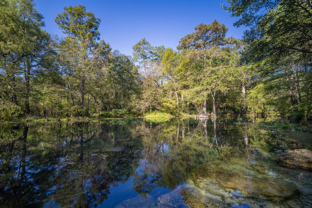
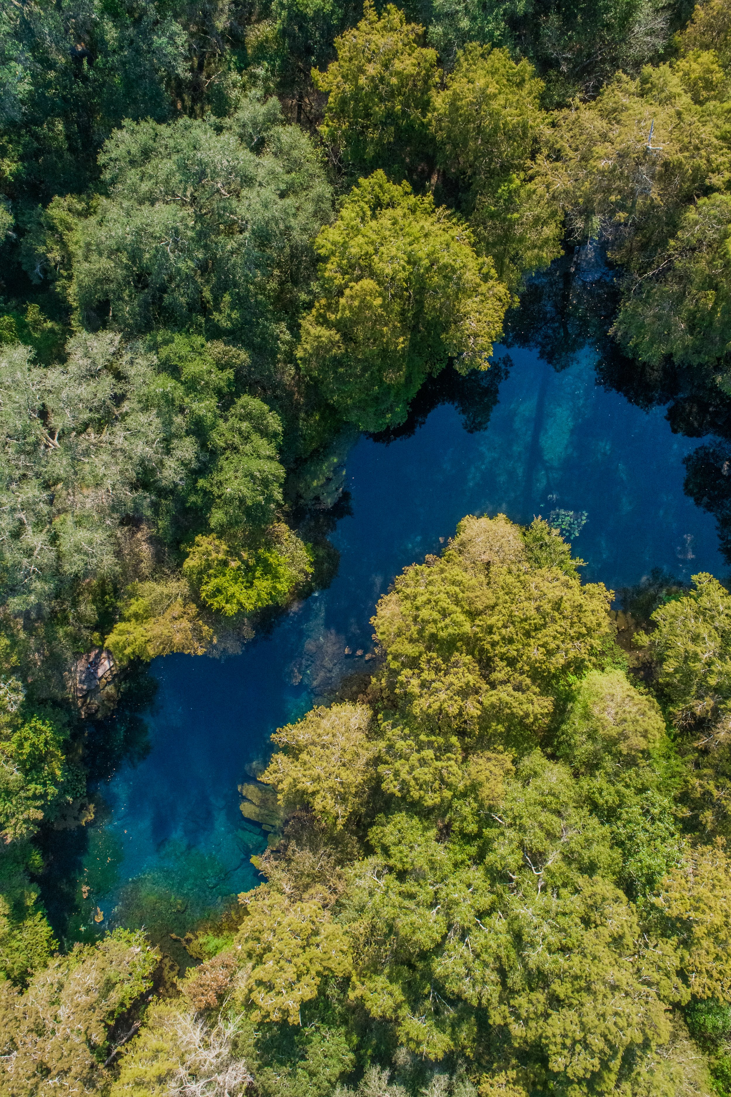
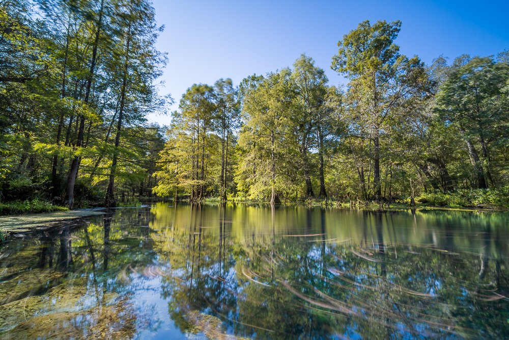
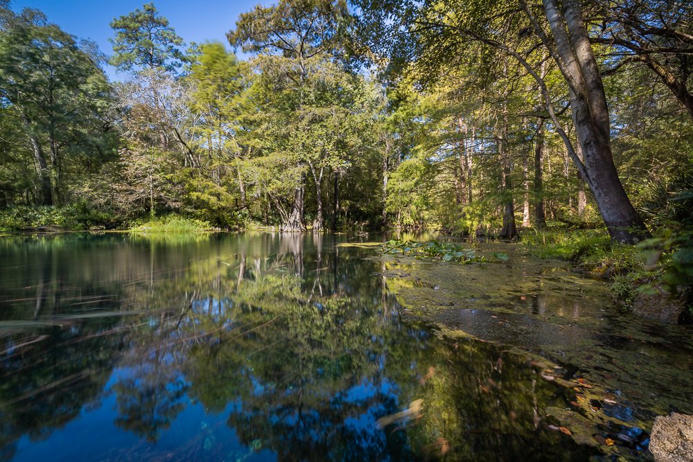
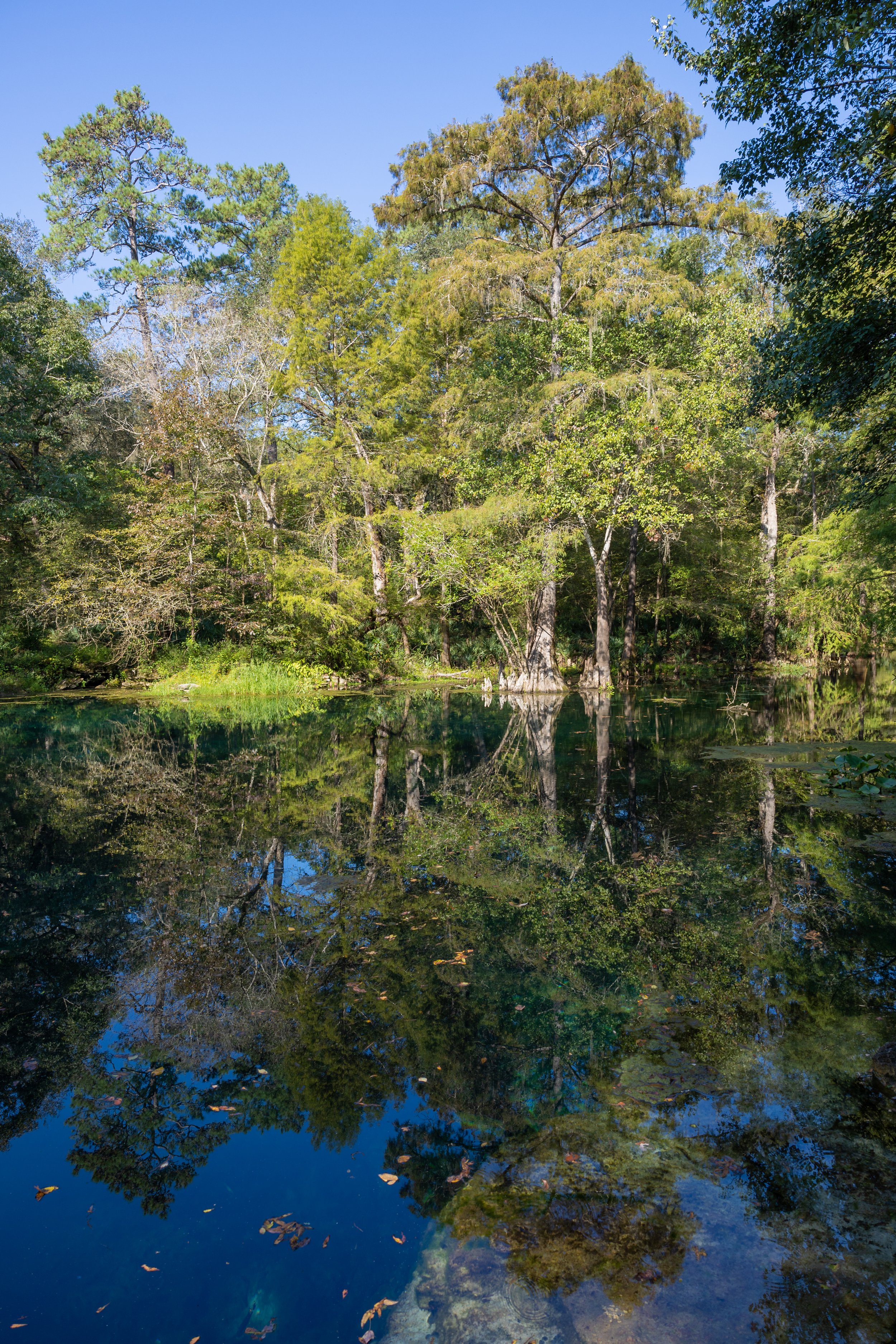
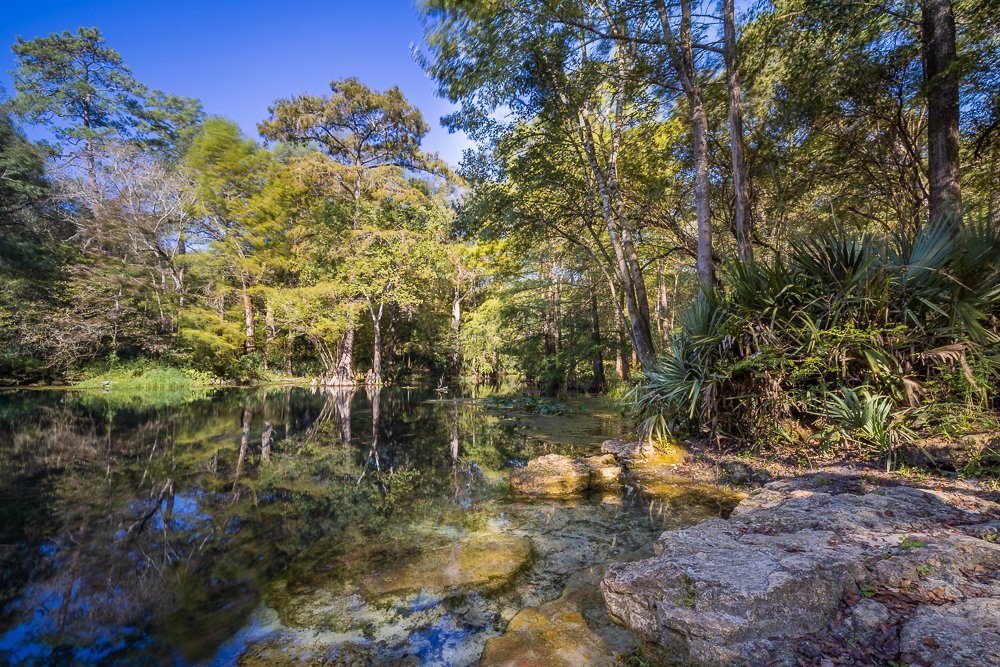
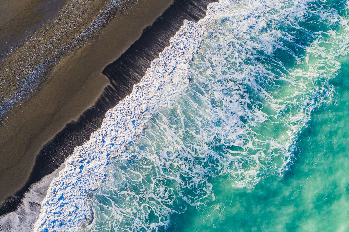
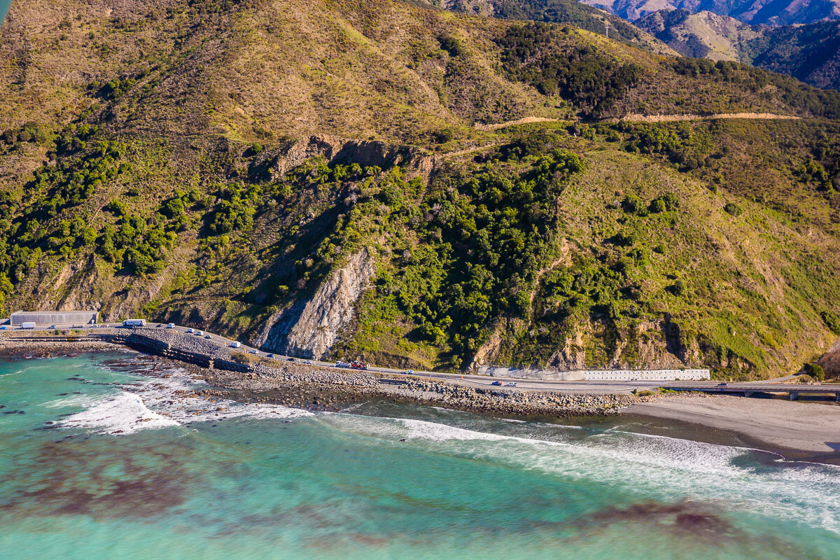
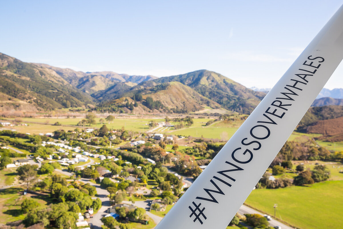
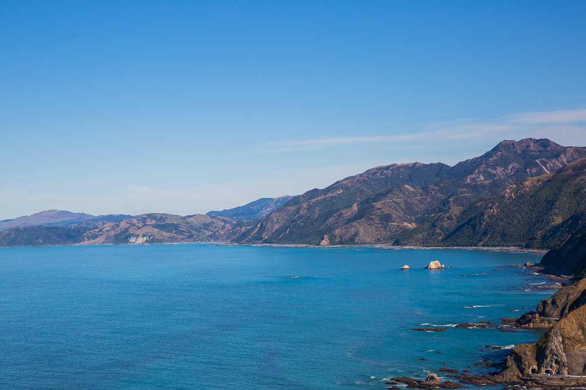
Continuing along our travels through Florida, we paid a short visit to Wes Skiles Peacock Springs State Park. This state park is home to several springs, including Peacock, Ginnie, and Little River Springs, which flow into the Suwannee River. It is a popular spot for underwater cave diving, with over 14,000 feet of cave passages open to visitors. Although we stayed entirely above the water during our visit, we did have the rare opportunity of taking photos from the skies for an even more unusual view of this location: the skies! The drone flight did not disappoint, showing just how stunning the clear turquoise waters of the spring are from all angles.
Aerial
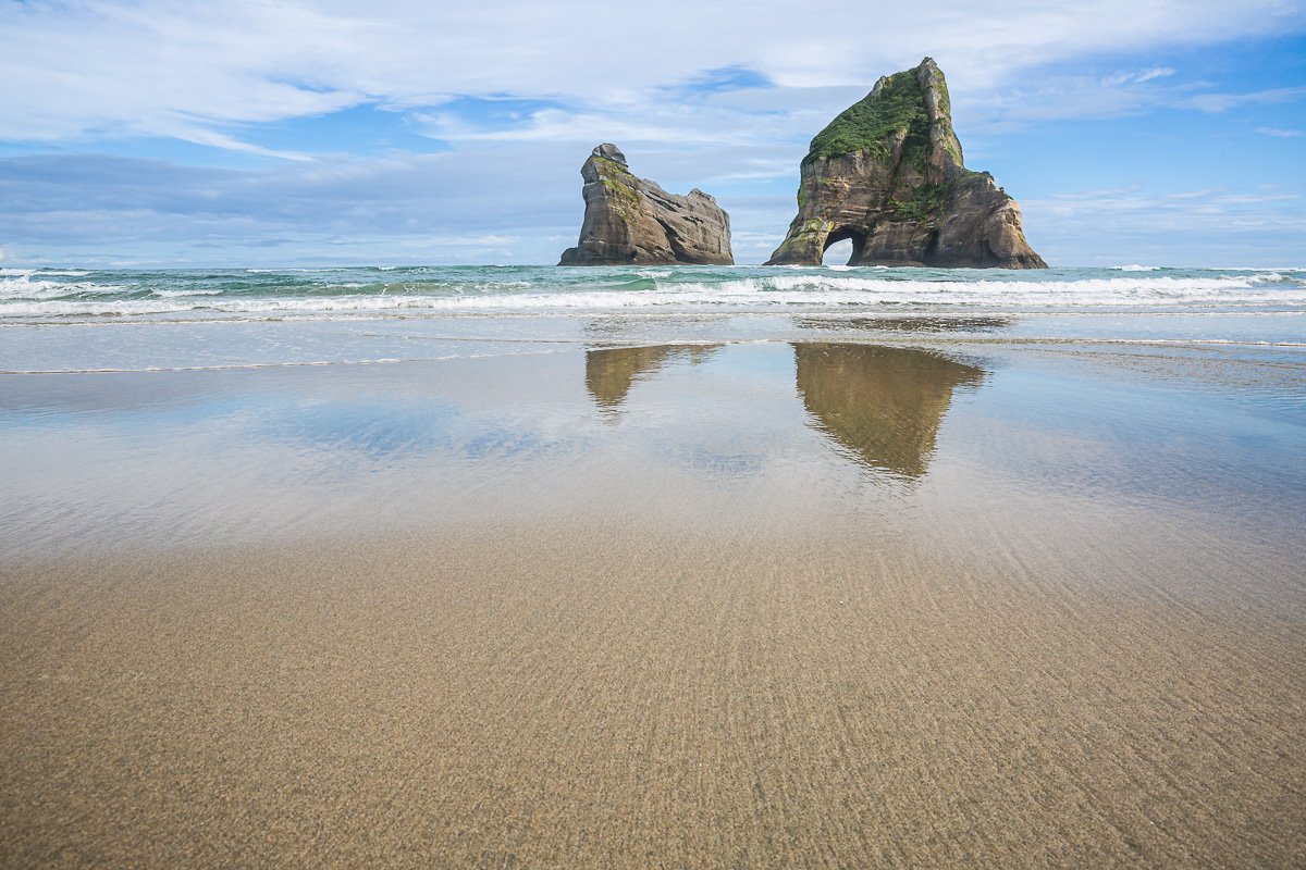
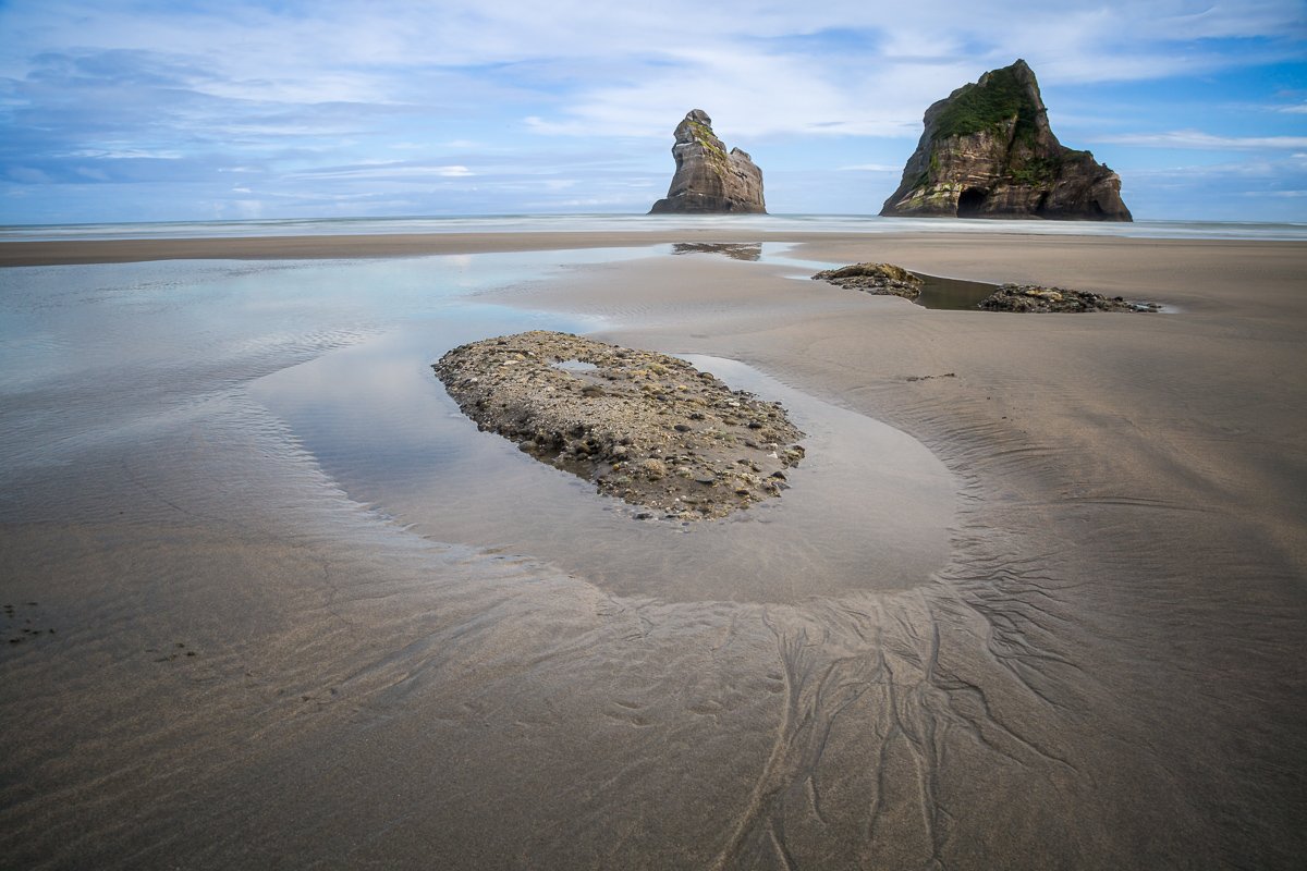
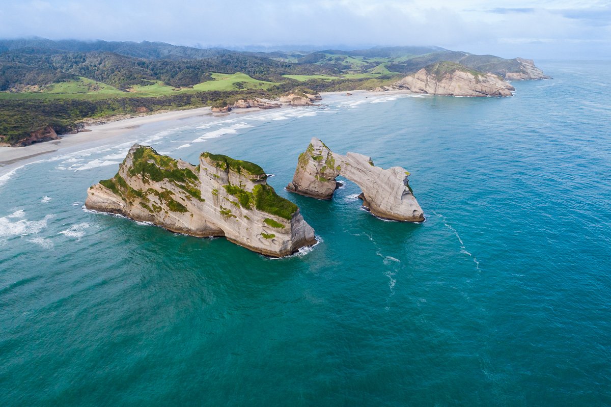
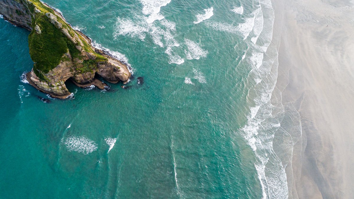
The Famous Wharariki Beach
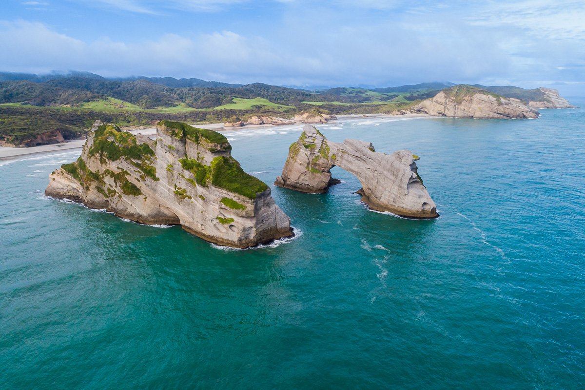
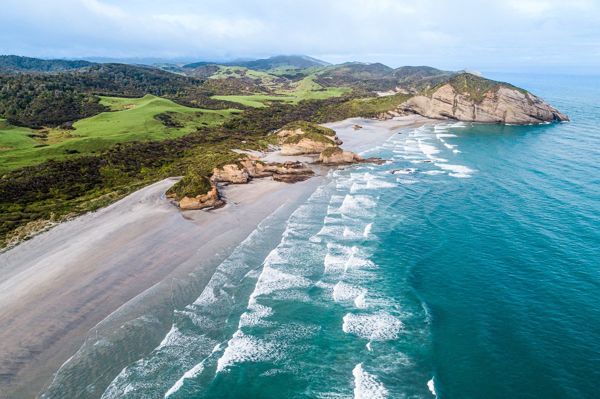
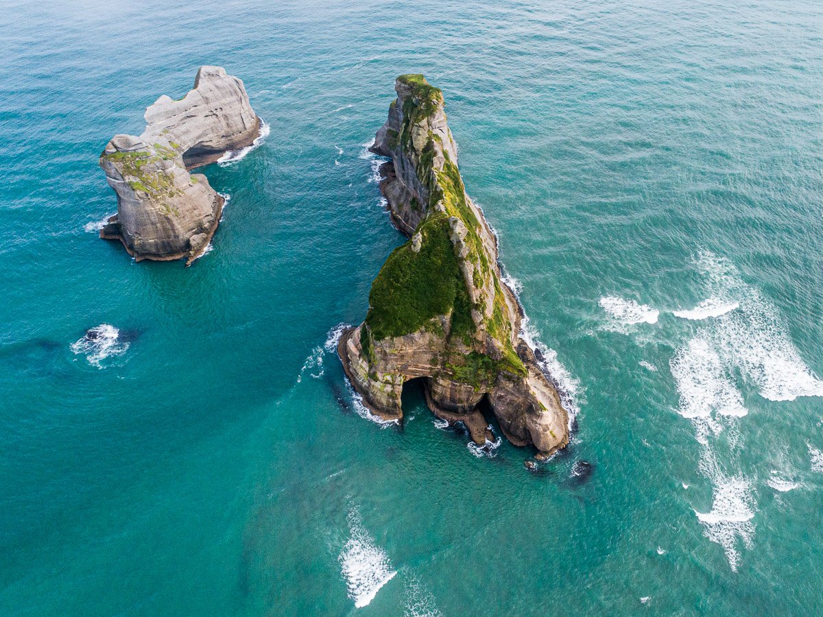
Wharariki Beach, or “that beach on the Windows desktop background”, as it is more commonly known, is one of New Zealand’s best kept secrets. As it is in the northernmost tip of the South Island, getting there from the Abel Tasman region takes a little bit of time, patience, and planning. I tried to leave plenty of time during my visit, allowing for two sunsets and a sunrise, but the weather was having none of it. Despite the overcast mornings and evenings, and the almost constant rain, we managed a partly cloudy mid-morning visit. It’s not all I had hoped for from this detour, but it was still certainly worth the trip.
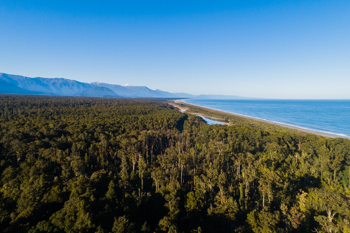
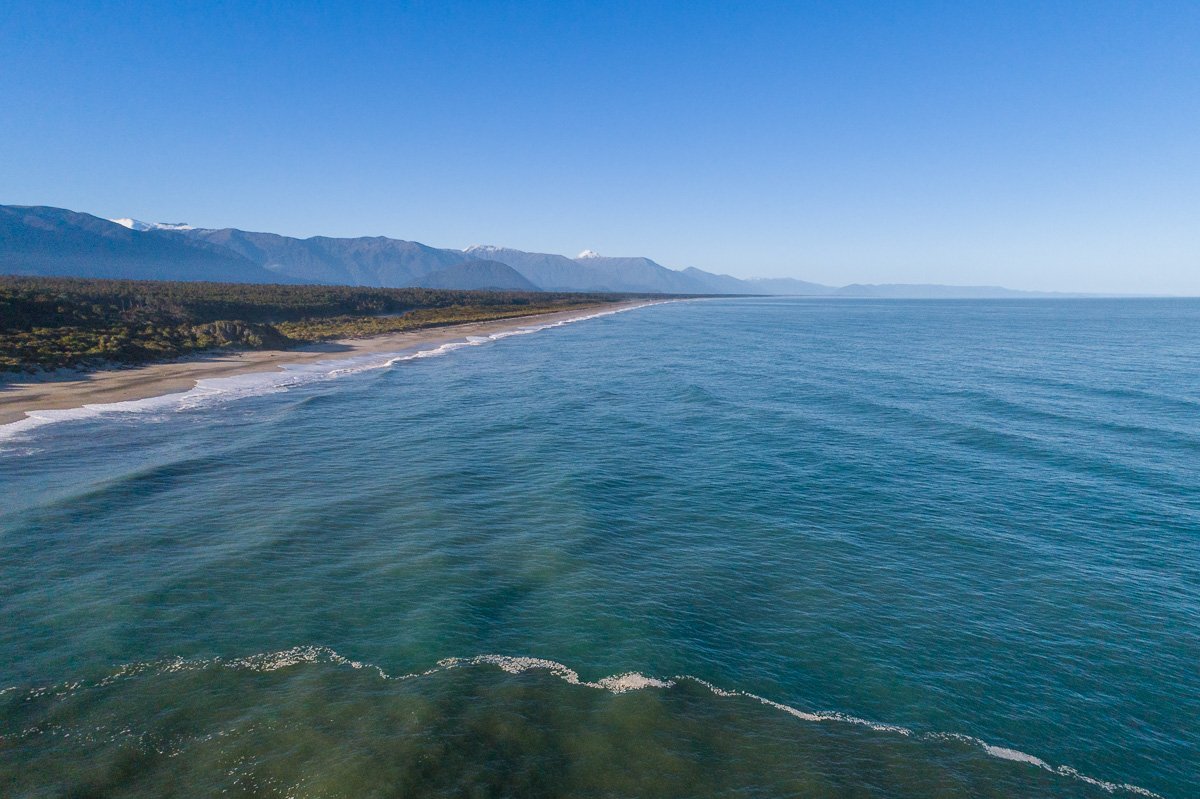
The West Coast from Above
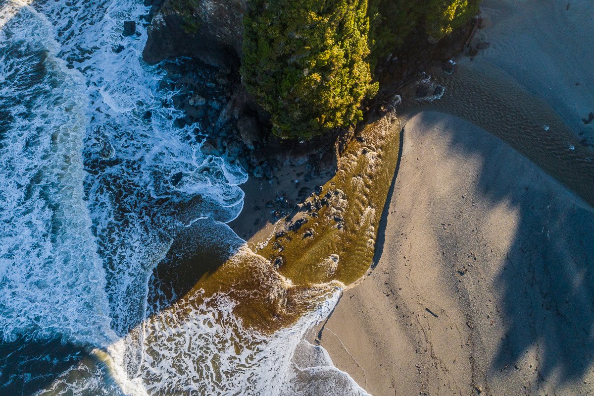
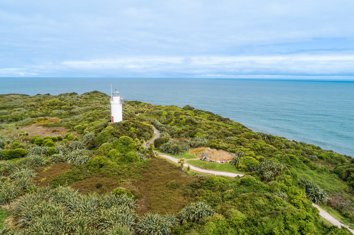
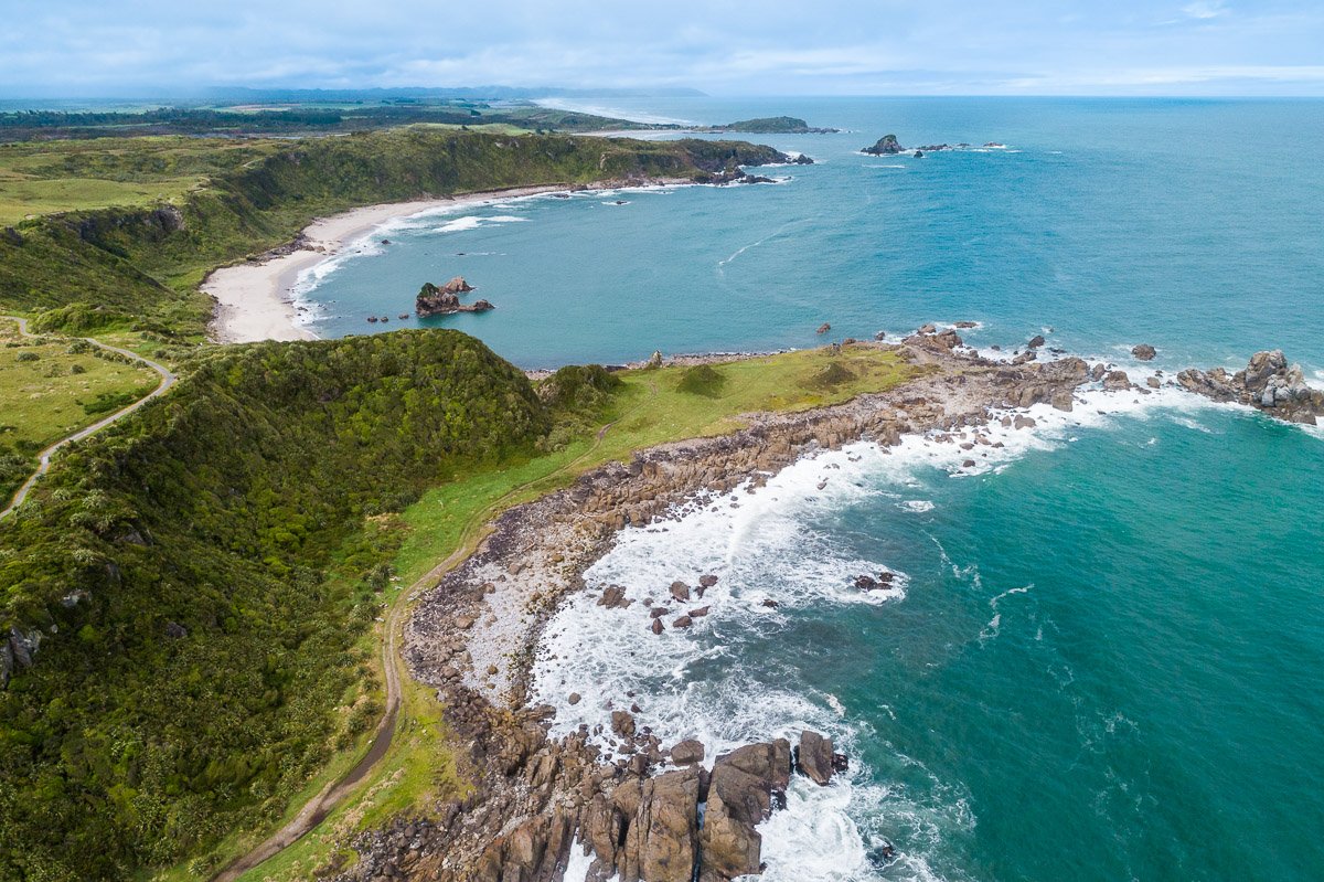
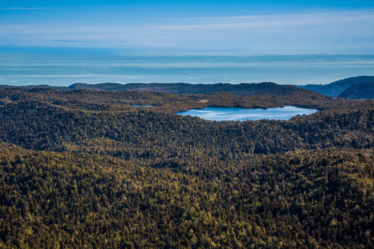
A bird's-eye view always reveals a different perspective on the landscape and brings out the true scale of the place. I had a few opportunities for aerial photography during my road trip through the West Coast of New Zealand, and I think these images really show off the untamed beauty of the region. The images below were taken near Tauparikākā Marine Reserve and Cape Foulwind.
A Tale of Two Glaciers
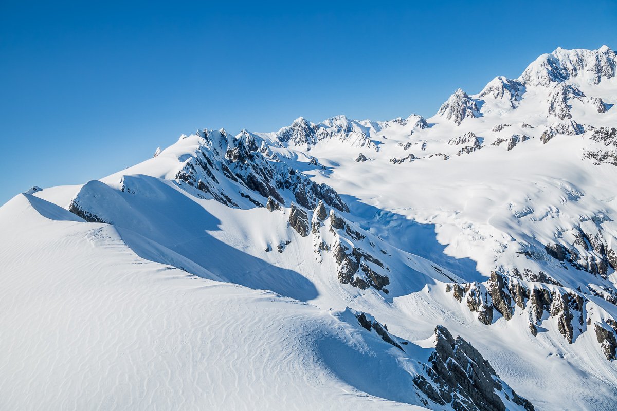
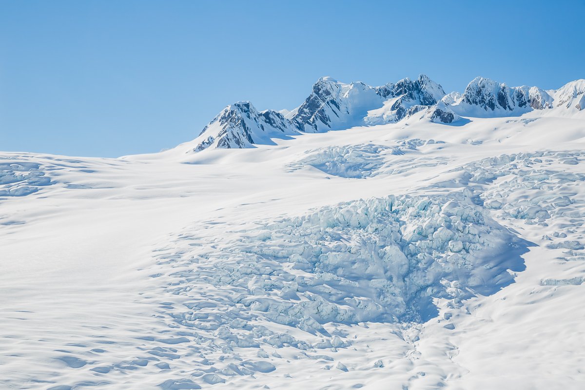
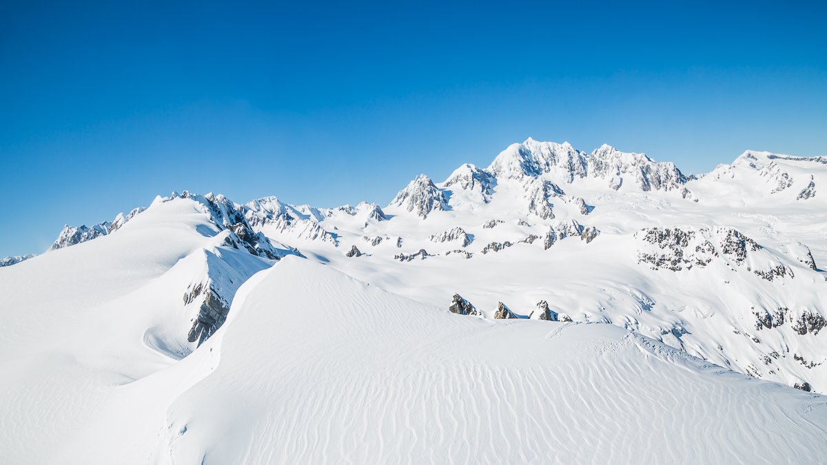
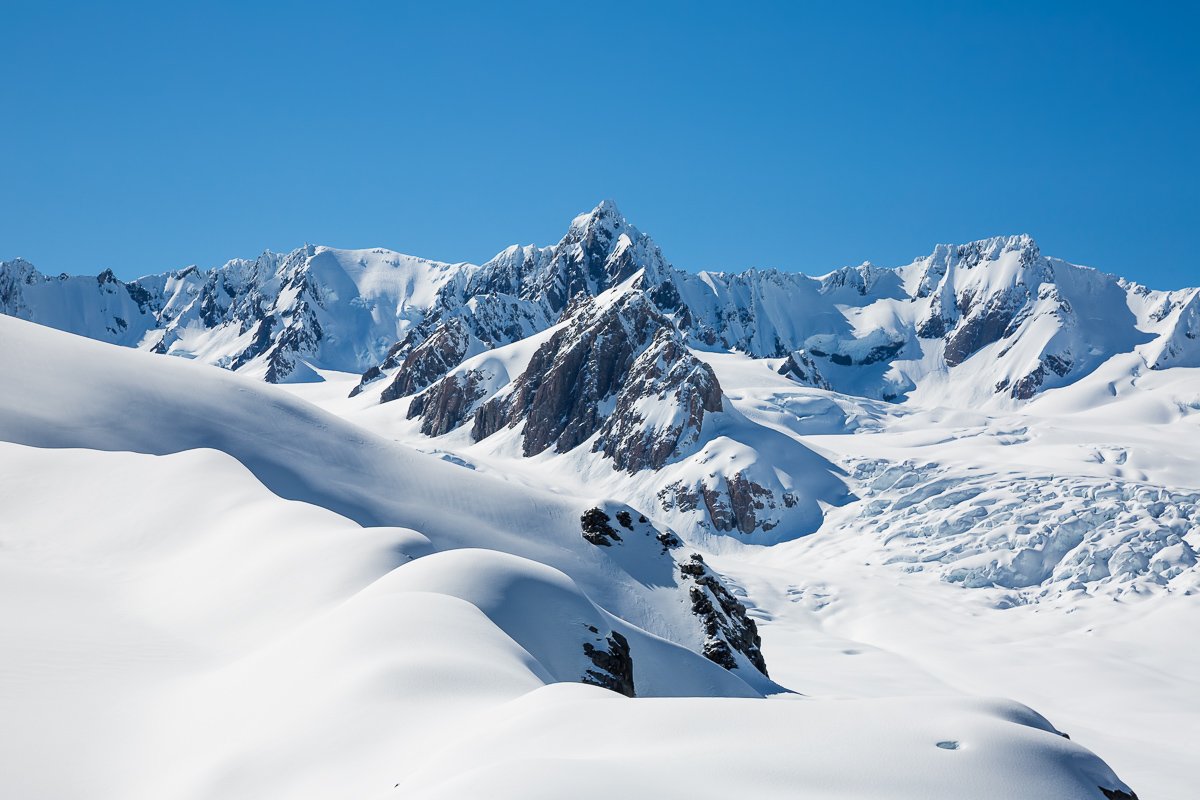
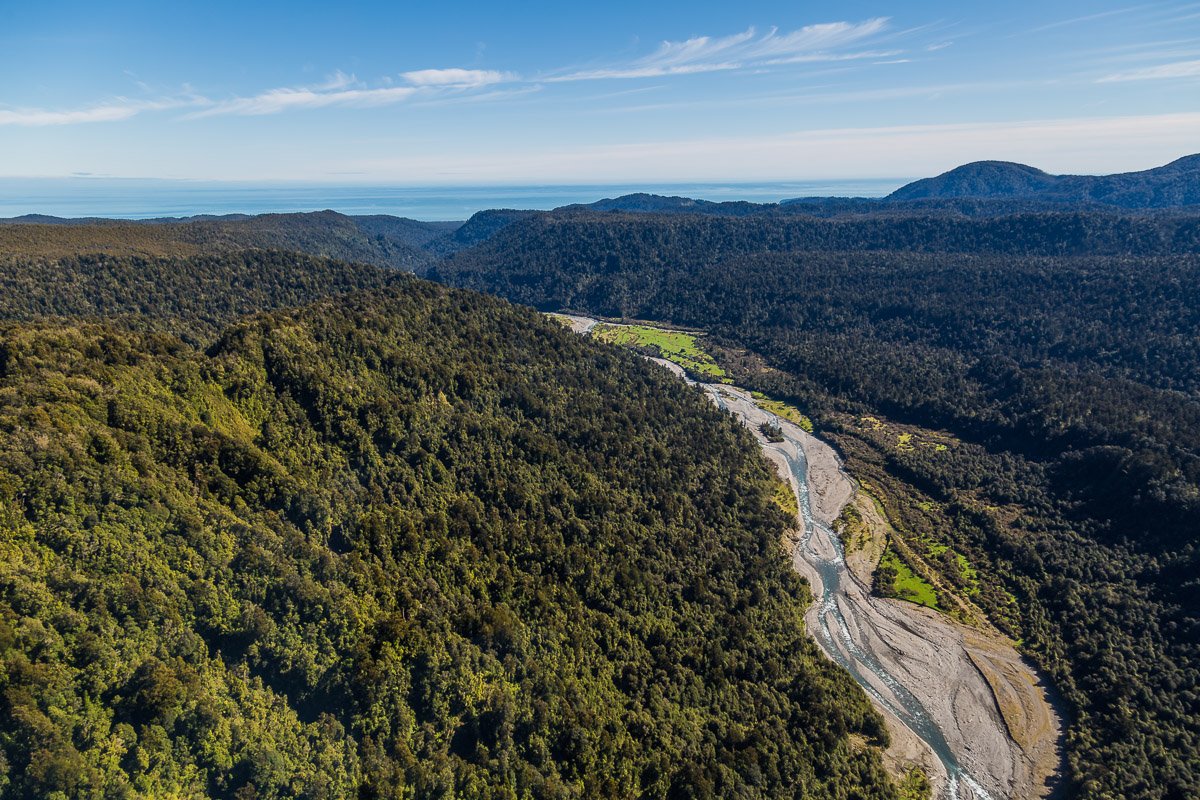
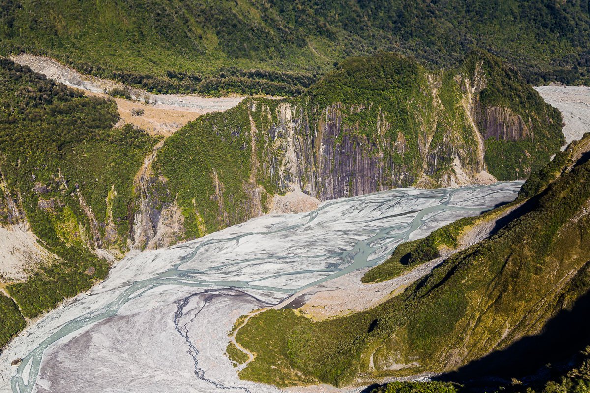
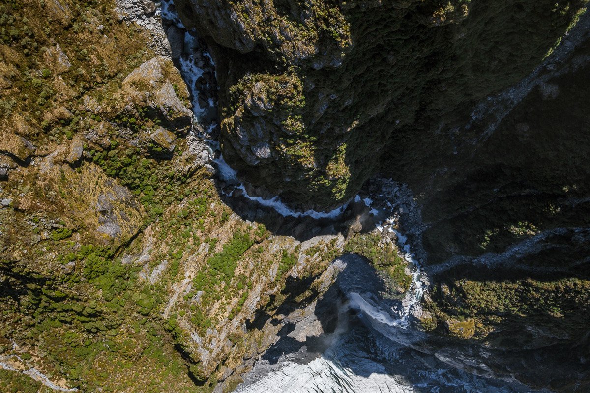
The reason my travels through the West Coast are some of my favourite memories of New Zealand are views such as these. Within a short helicopter flight, we saw two glaciers (Franz Josef Glacier and Fox Glacier), rivers, waterfalls, and had a clear view of the ocean! This flight included a short landing atop Franz Josef Glacier, where we could walk on the fresh soft snow. What a stunning little corner of the world that is.
Above the Treeline
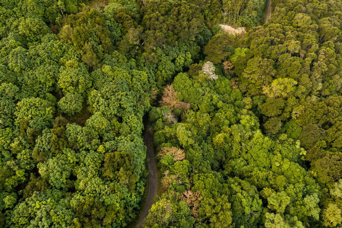
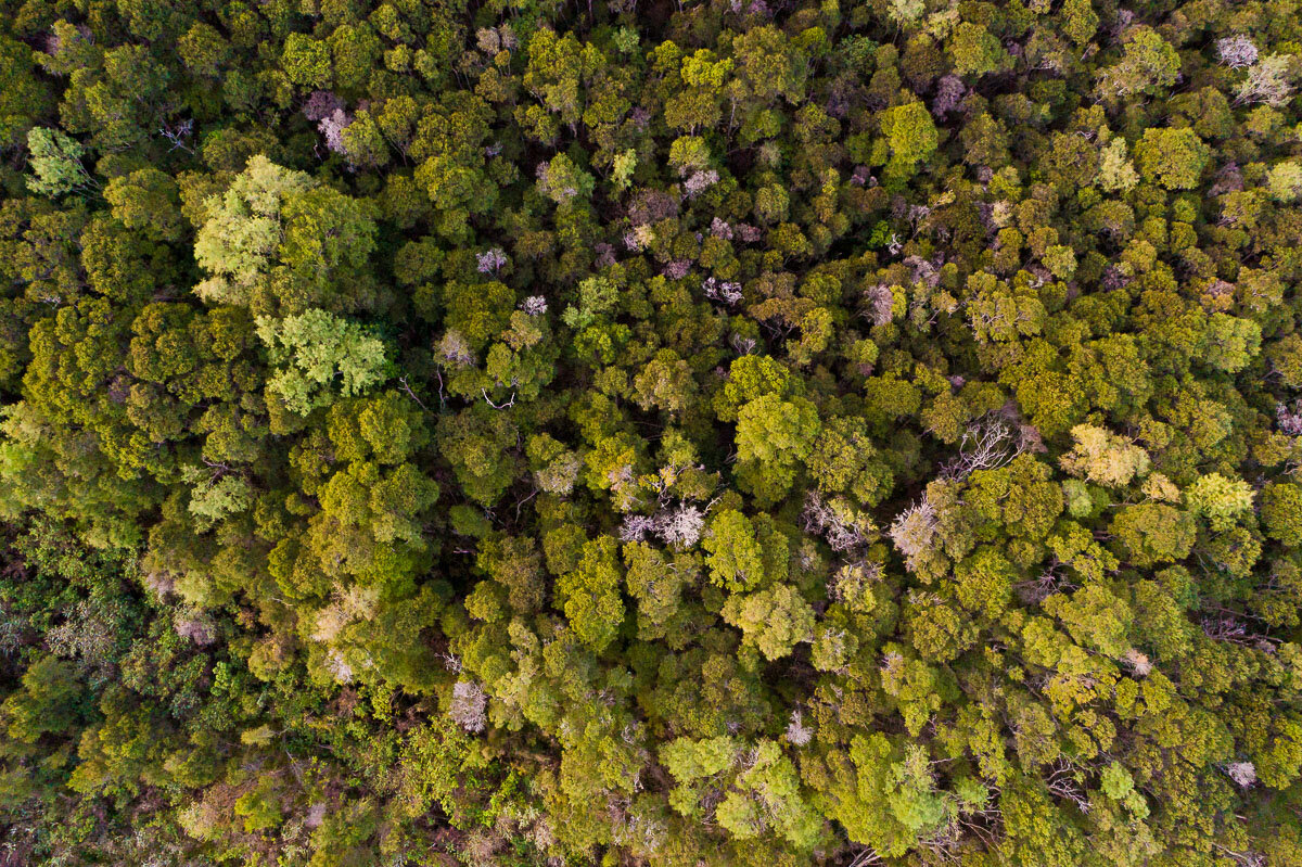
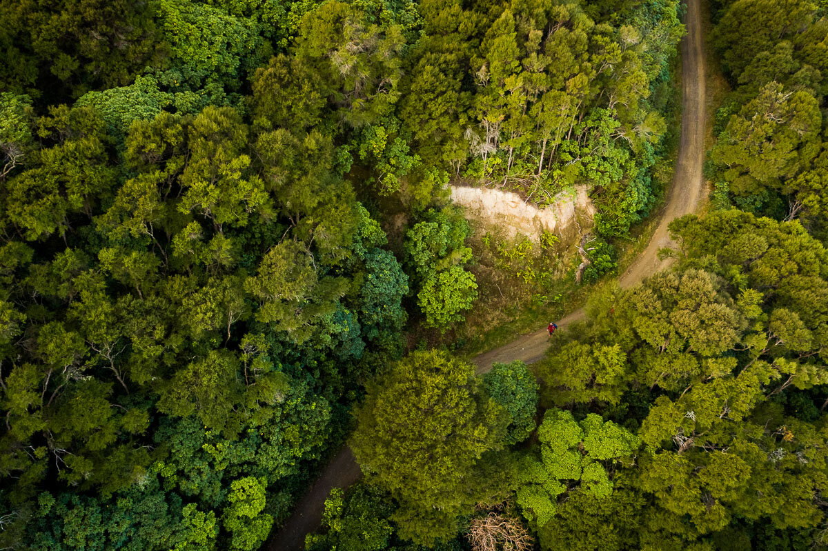
There are several great walks in Kaikoura. One of the best known is the long track up to the snowy Mount Fyffe, which begins with a trail through lush native New Zealand forest. We explored the surrounding area, and took to the skies to photograph the beginning of this track from above.
Afternoon at the Beach
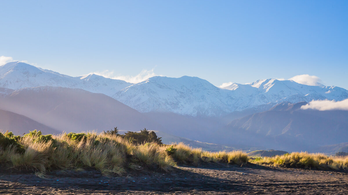
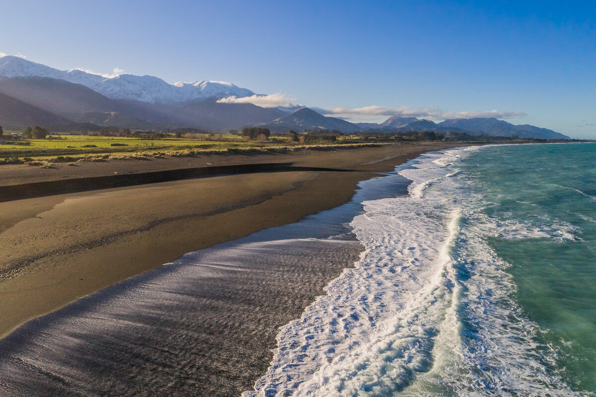
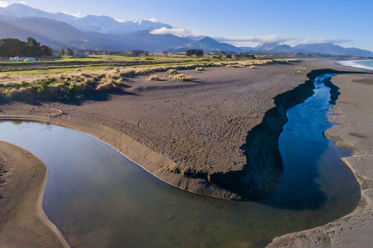
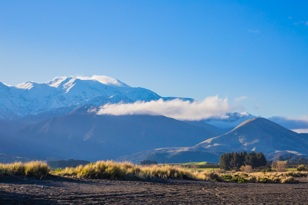
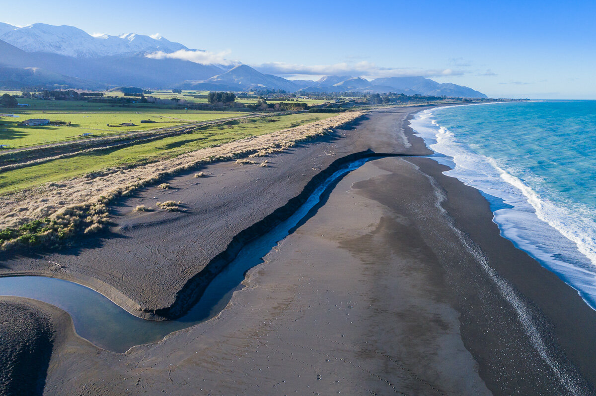
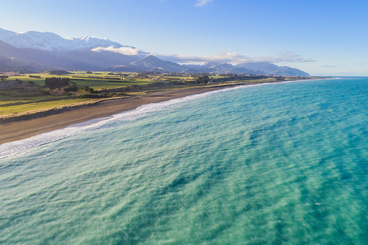
Kaikoura, only a couple hours’ drive from Christchurch, is one of New Zealand’s best kept secrets. The town and its surroundings are full of unexpectedly beautiful landscapes. During our visit, we stumbled upon this bit of coast along Beach Road. As always, I like to think that the images speak for themselves!
Wings Over Whales
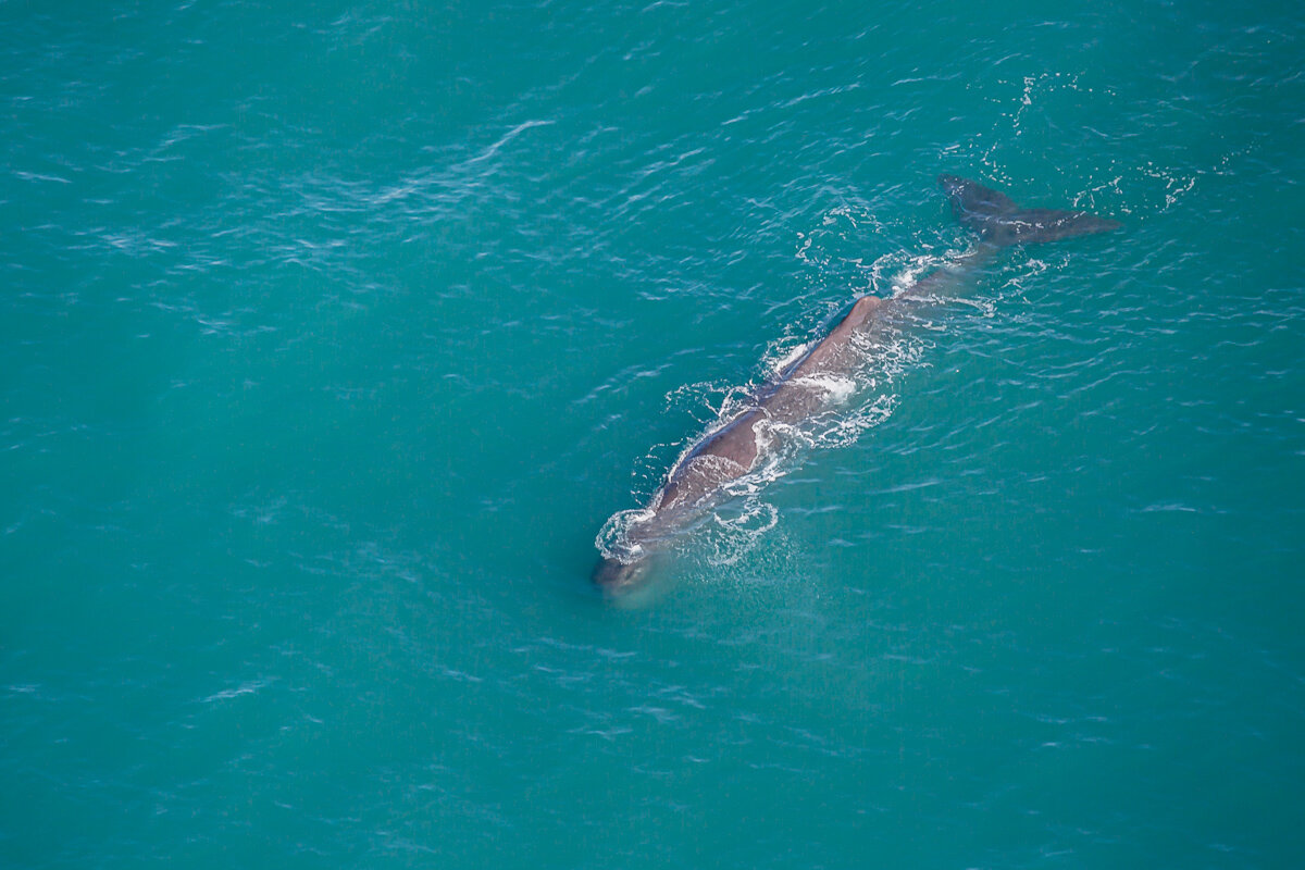
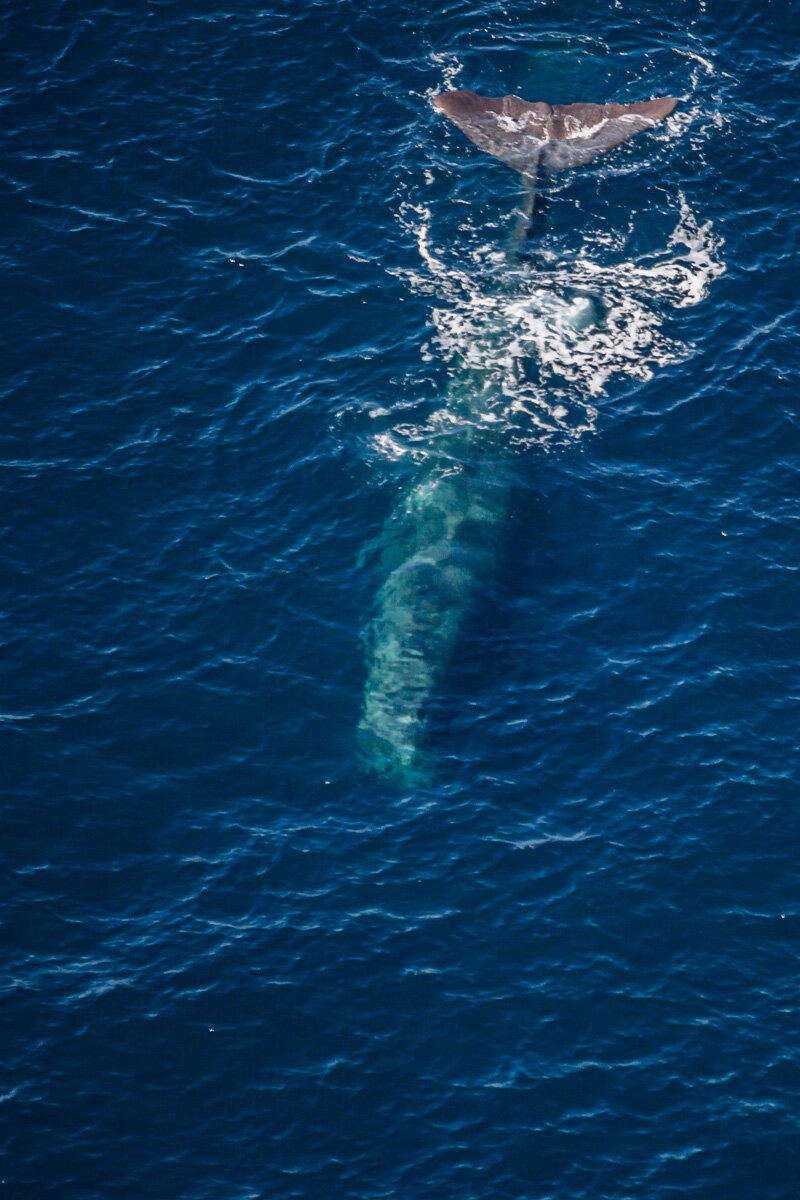
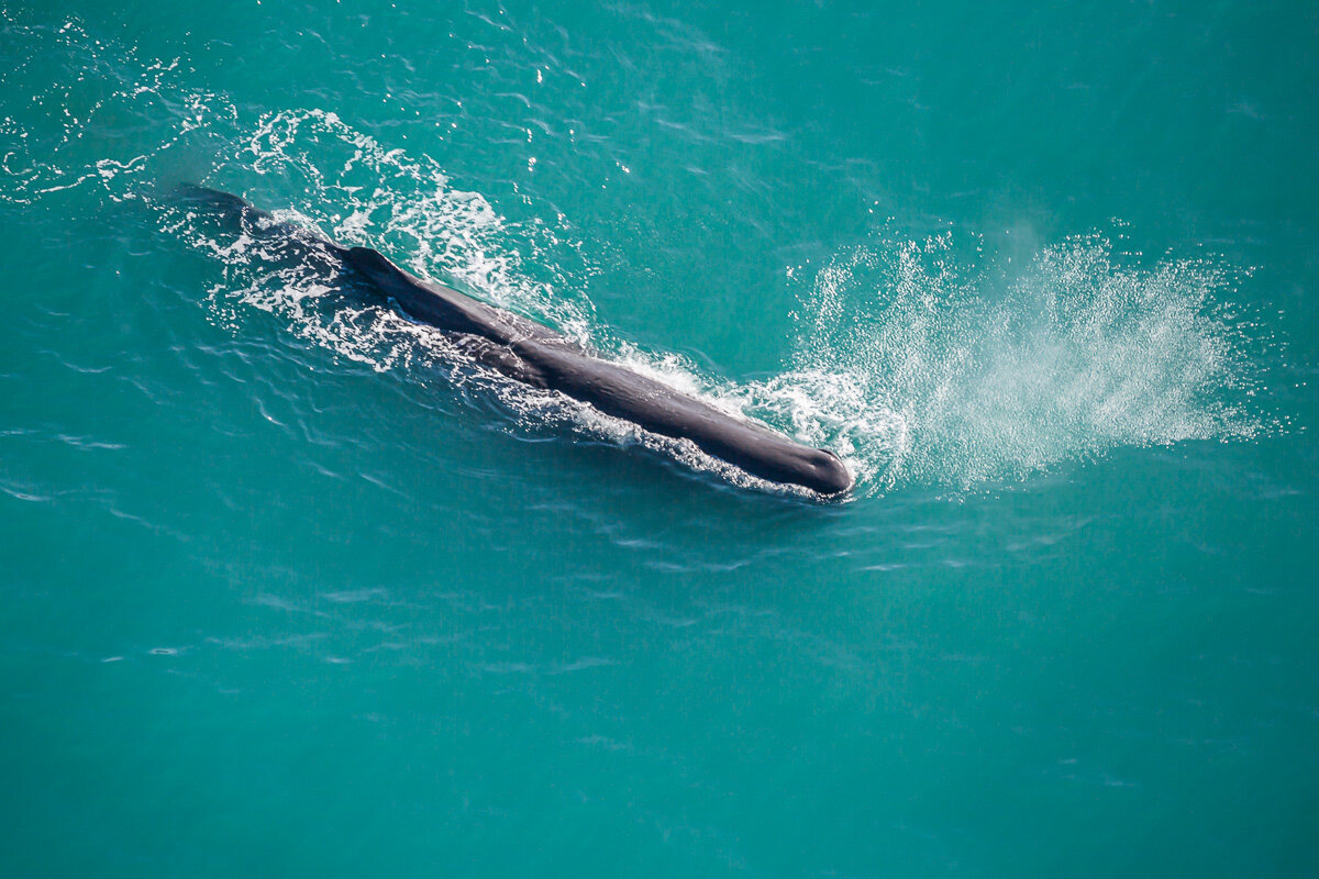
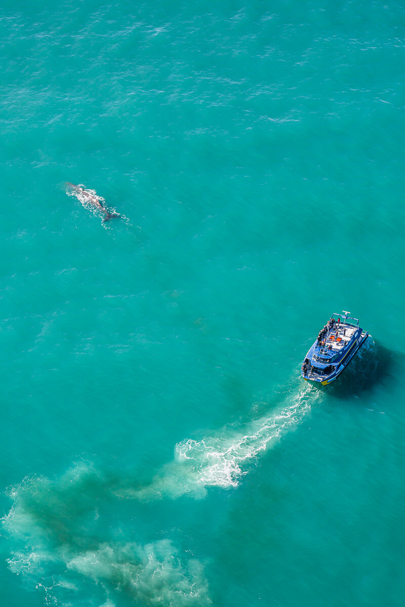
One of my best memories of Kaikoura was taking a whale-watching flight with Wings Over Whales. Although circling the whales did get me a little dizzy by the end, it was amazing to see these marine giants from the air, where you can get a true sense of their scale. During our flight, we saw two sperm whales and a humpback whale, and as a bonus we got to enjoy the view of the surrounding mountains and ocean from the air also.
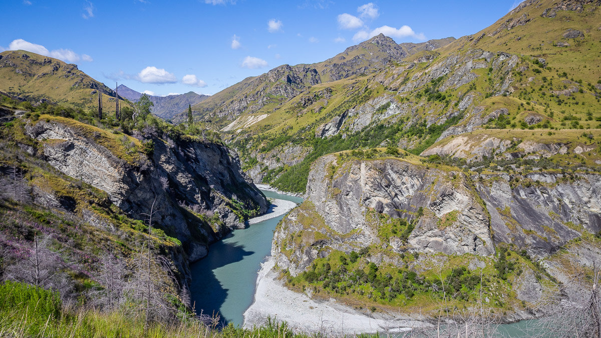
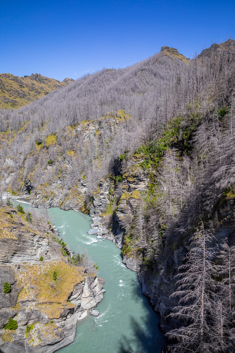
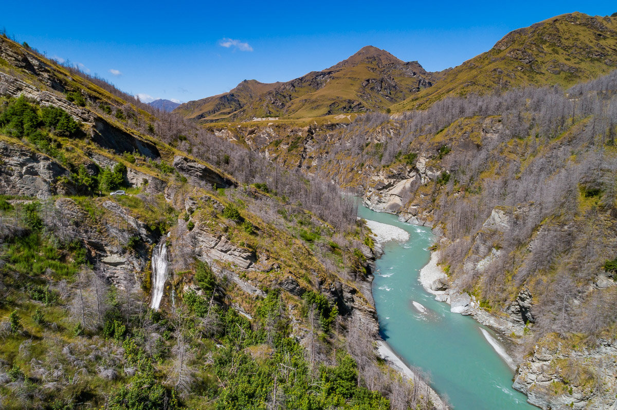
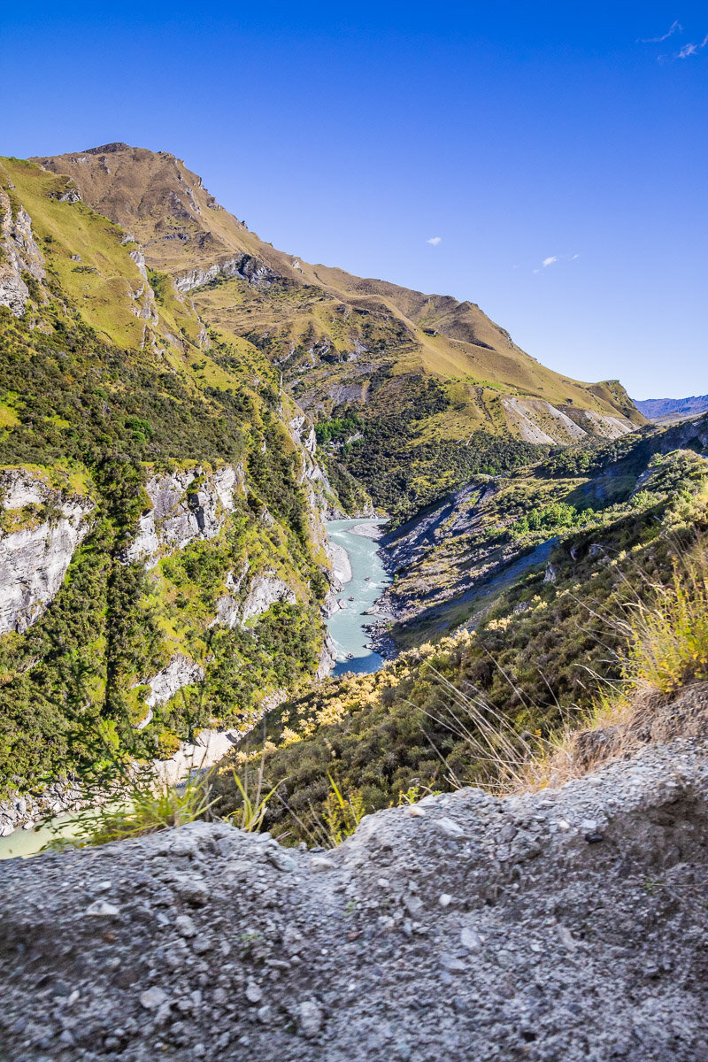
Skippers Road
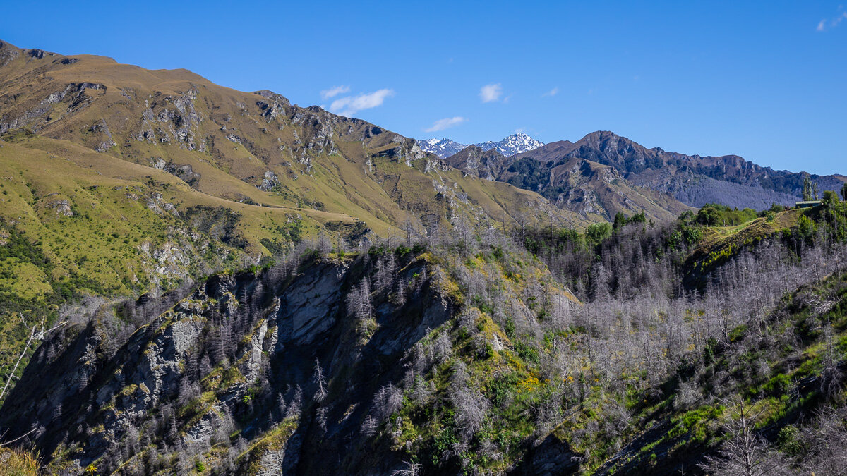
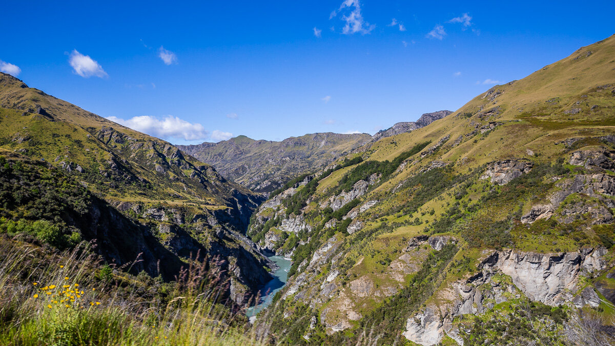
Skippers Road is one of the most scenic drives in the Queenstown region in New Zealand’s South Island. It is known as a filming location for several scenes in The Lord of the Rings and The Hobbit trilogies, and the river cutting through the canyon below is a popular spot for jet boating. This was a spectacular day-long drive offering photography opportunities both from the ground and from the air.
Douro Valley
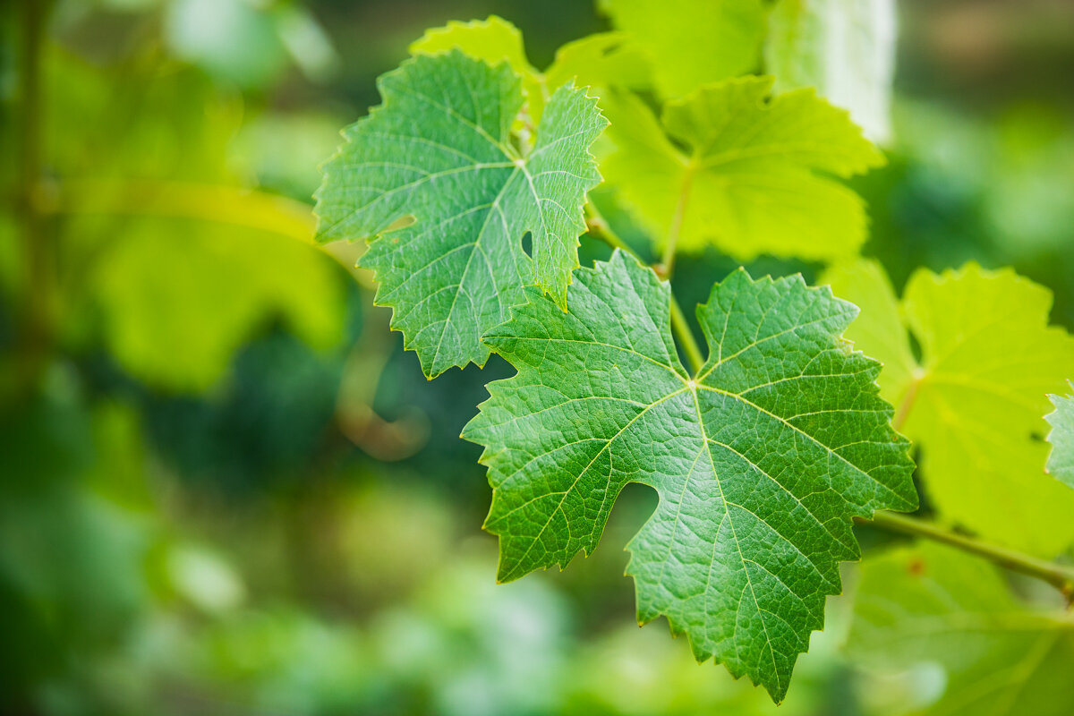
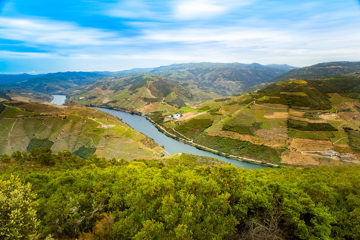
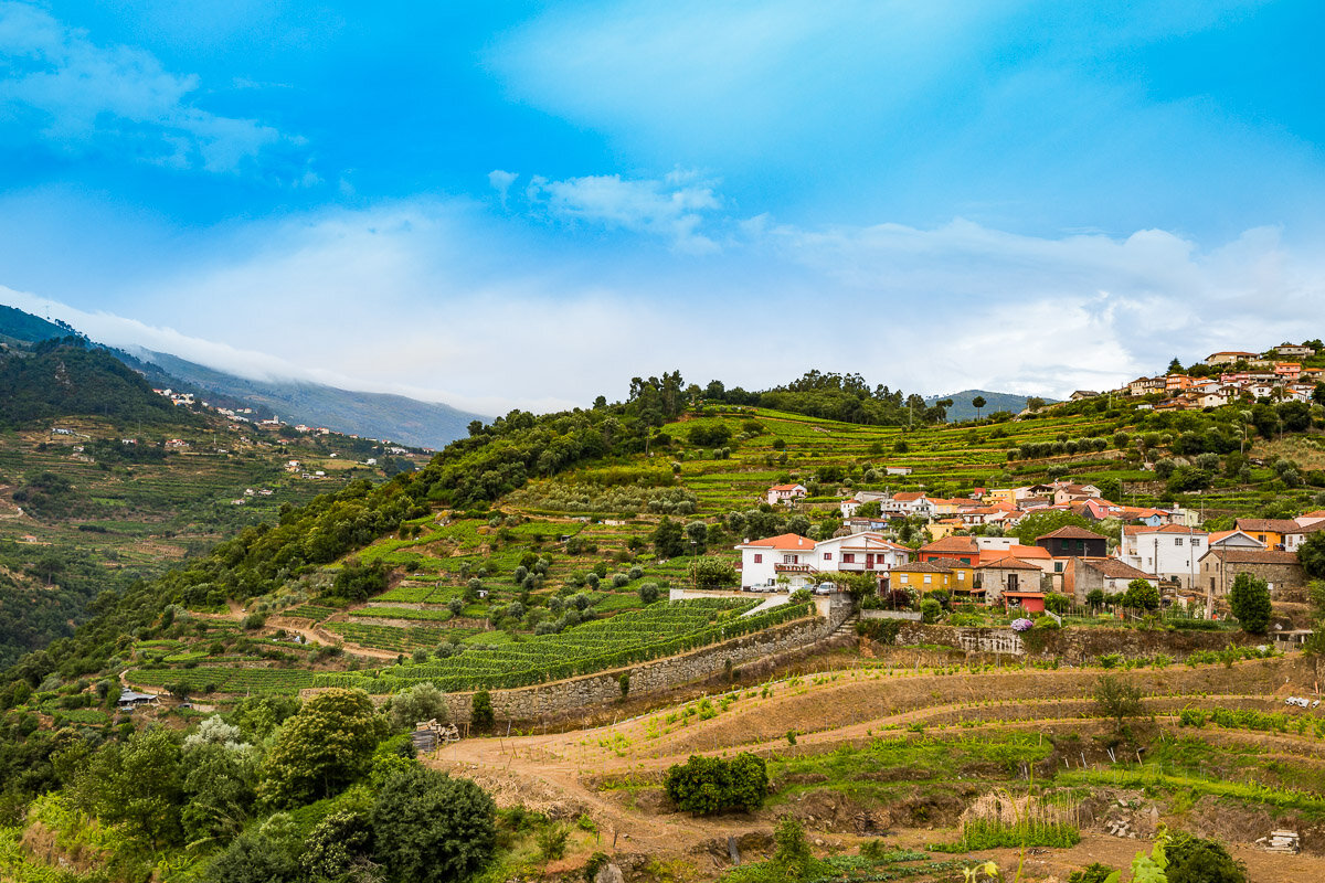
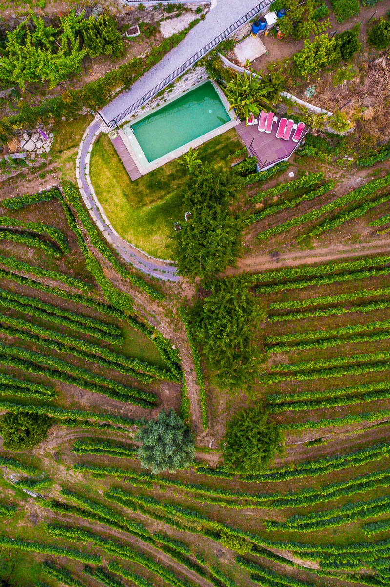
The Douro is one of the largest rivers in Portugal, and flows from Spain to near the city of Porto. It is the world’s oldest demarcated wine region, and a World Heritage Site. It was a change of landscape from our travels through the small medieval towns of Portugal. Douro Valley is a great place to relax and enjoy the vibrant green landscapes, a good glass of wine, and some local olive oil to boot.
The Most Portuguese Village
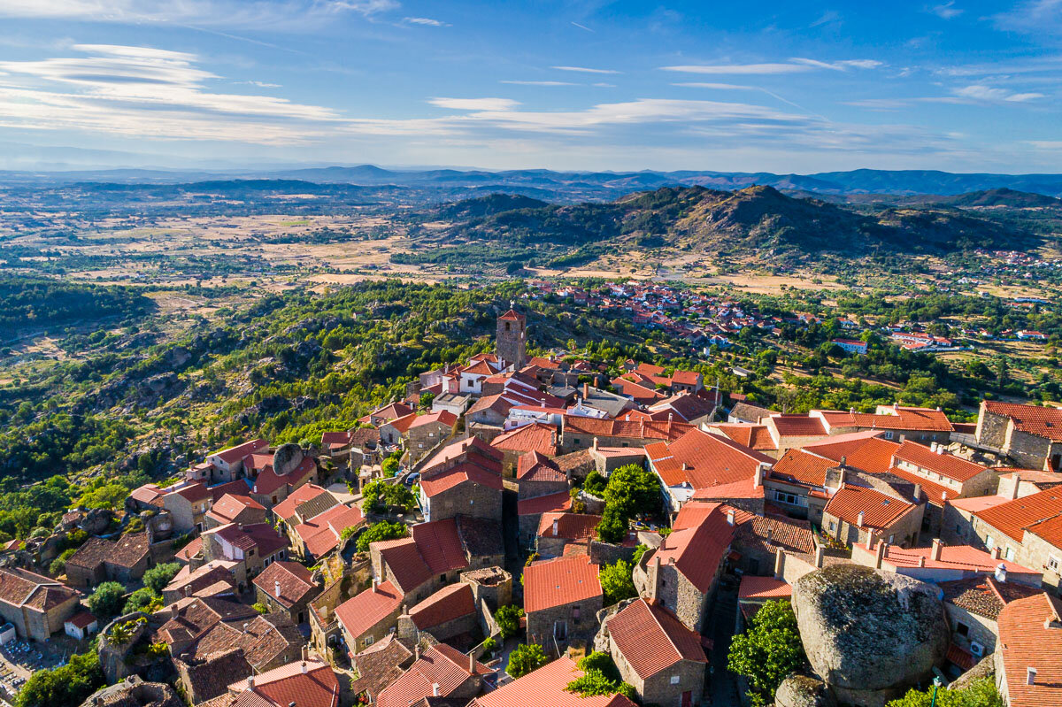
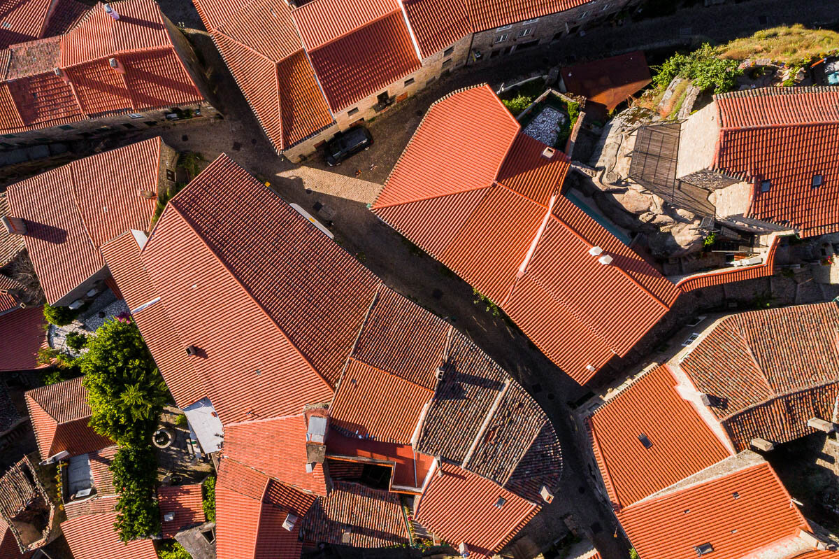
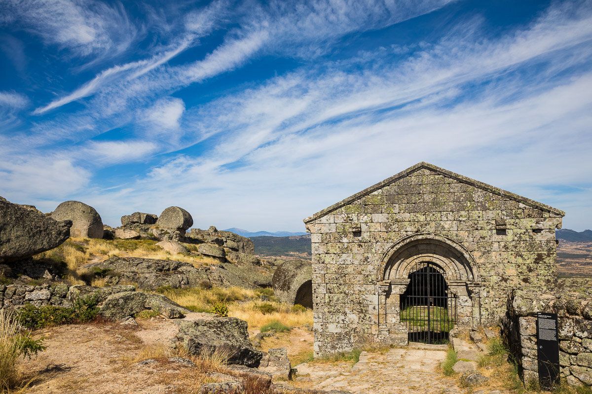
Monsanto, deemed “the most Portuguese village”, is a town of small red-roofed houses interweaved with enormous rocks. Its narrow streets climb up the sides of a small cliff, from which you can gain a spectacular view of the village. The top of the cliff is also the grounds of the ruins of the town’s medieval past, with a couple of buildings still left standing.
A Bird's-eye View of Marvão
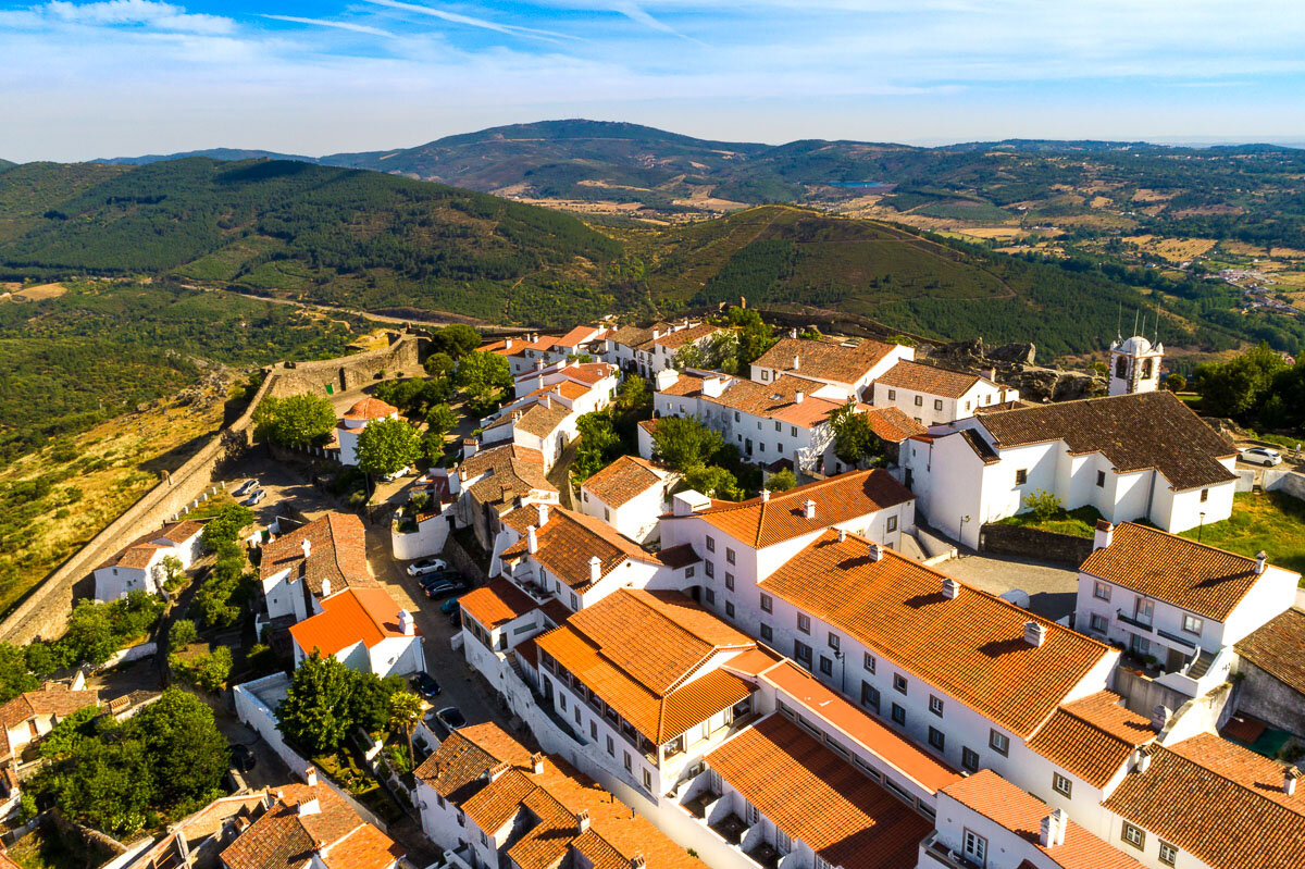
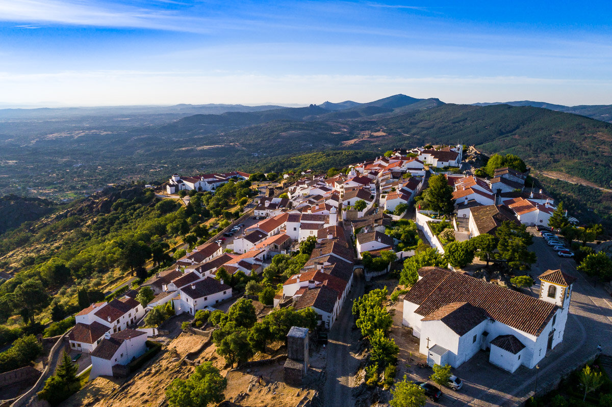
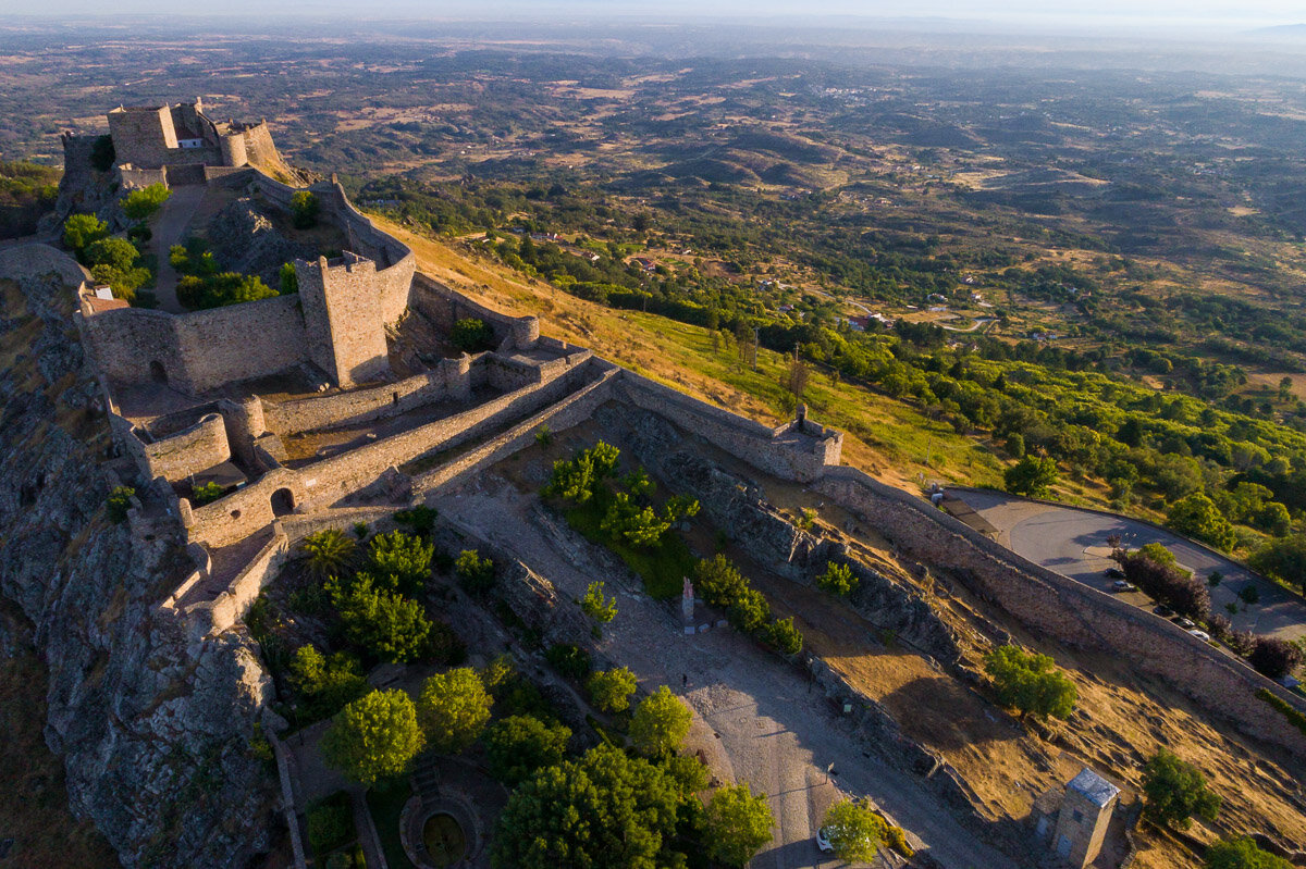
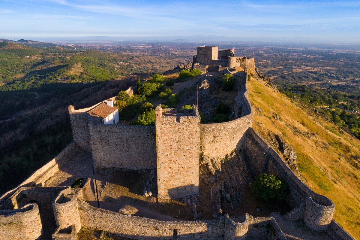
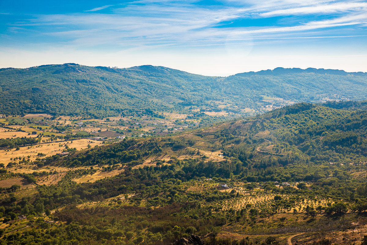
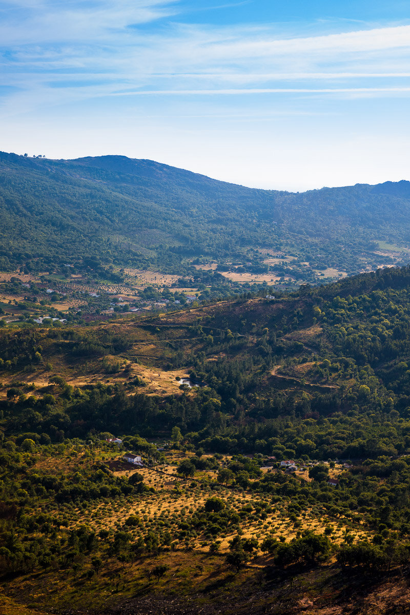
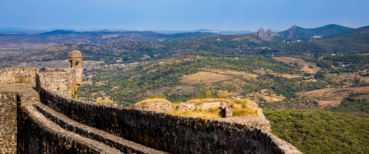
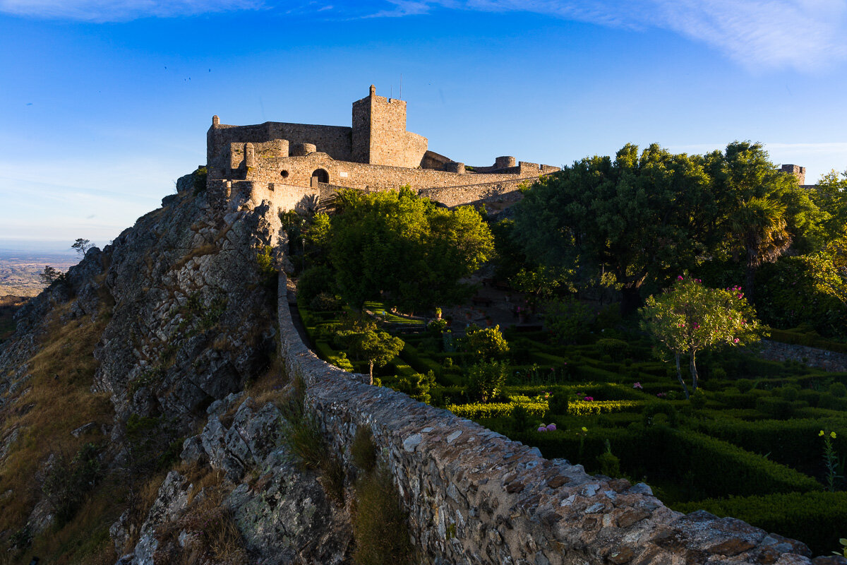
The white buildings of Marvão, together with its medieval fortress and the surrounding farmland, make for incredible aerial images. I seized the opportunity to fly the drone over this stunning medieval town a couple of times, resulting in some amazing landscapes.
Some Portuguese Countryside
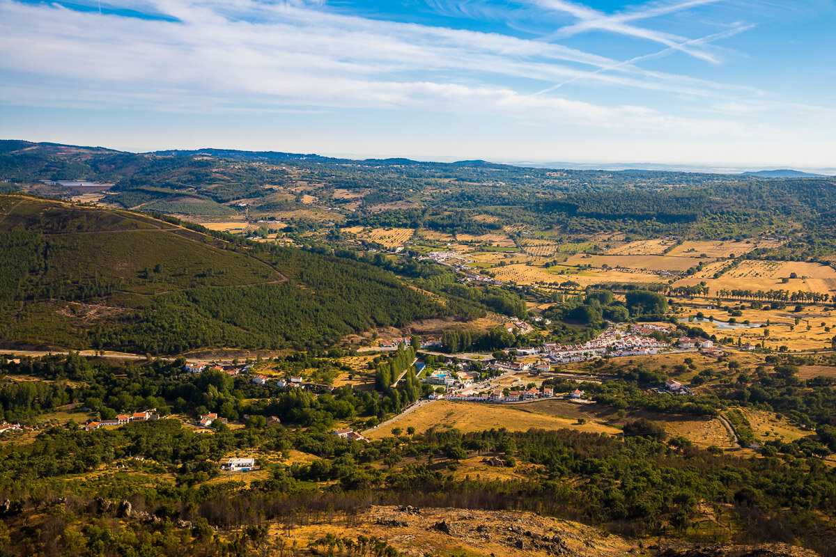
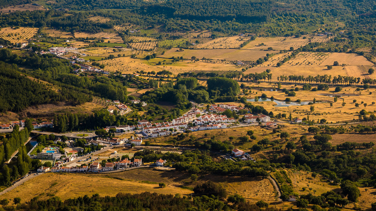
The town of Marvão is surrounded by typically Portuguese countryside. Even in the stark afternoon light, the landscape comes alive with the yellows and greens of the endless farms extending in every direction. In retrospect, I would have liked to photograph a sunrise over these fields, as I imagine the softer yellow would have made for even more breathtaking views.
Óbidos from Above
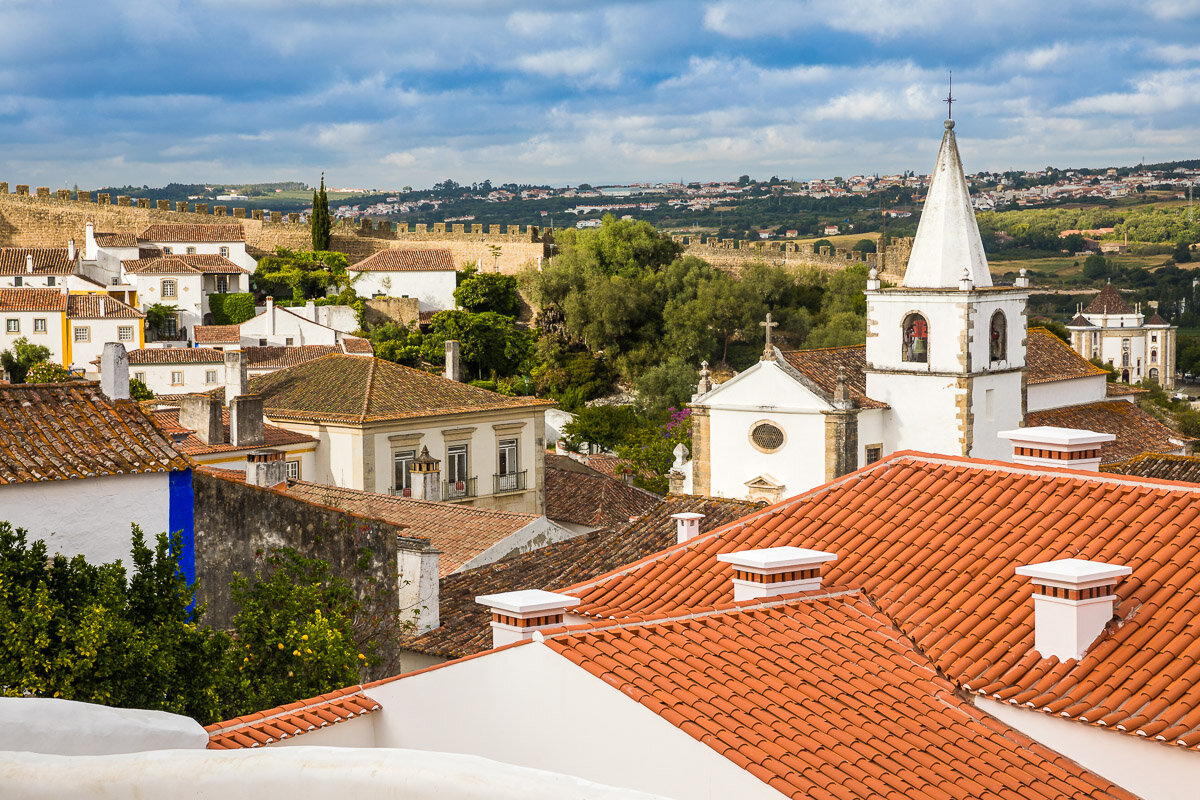
Perhaps the most spectacular views of Óbidos are from above. During my visit, I made the most of the birdseye views from the city and of the city. There are two ways to capture these images: by walking along the medieval walls that envelop the town, and by flying your drone from outside the city for a view of the castle and its surroundings. Here are some of my favourite images from both viewpoints.
Baleal Island Landscapes
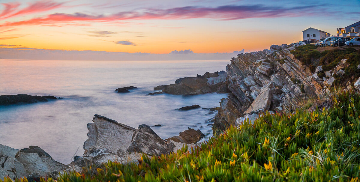
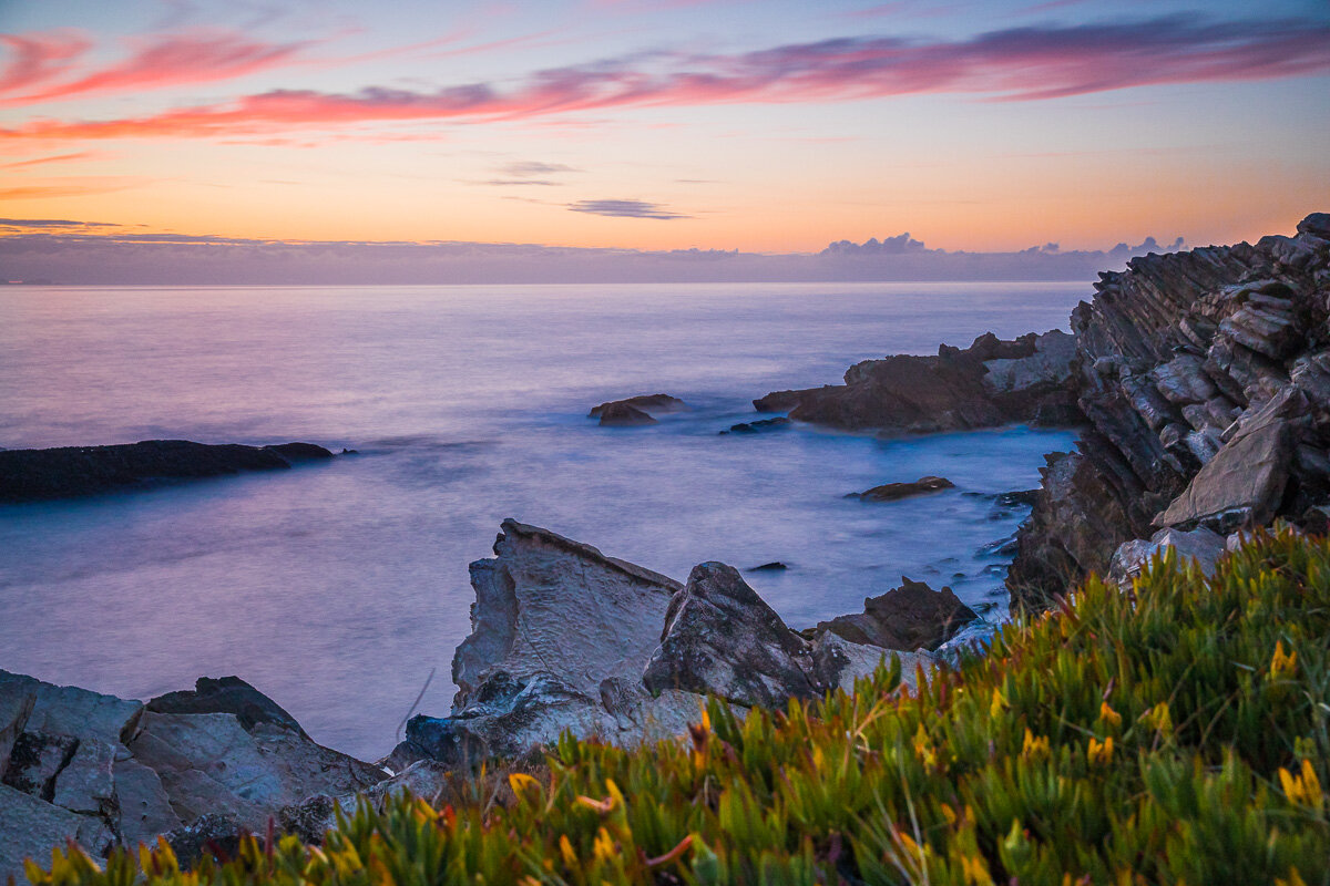
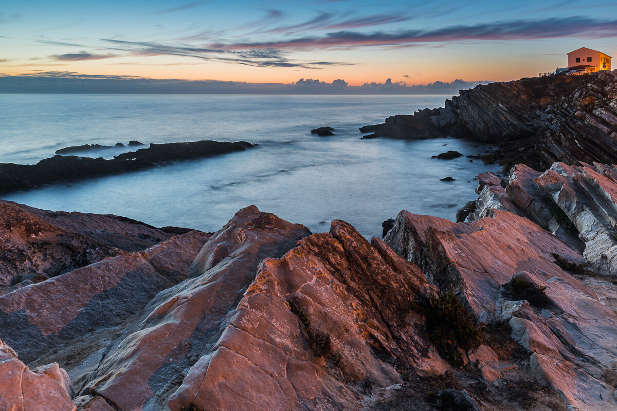
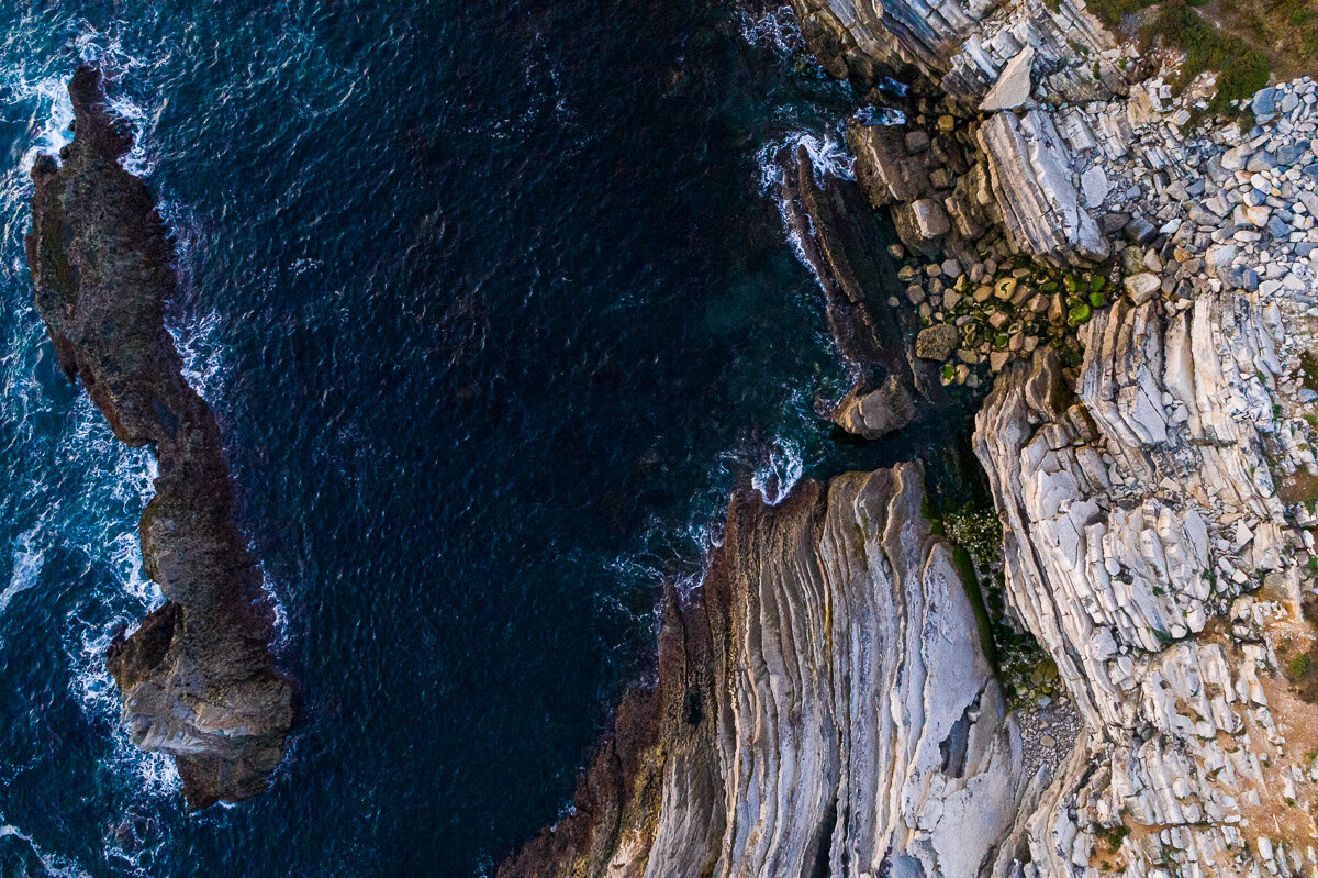
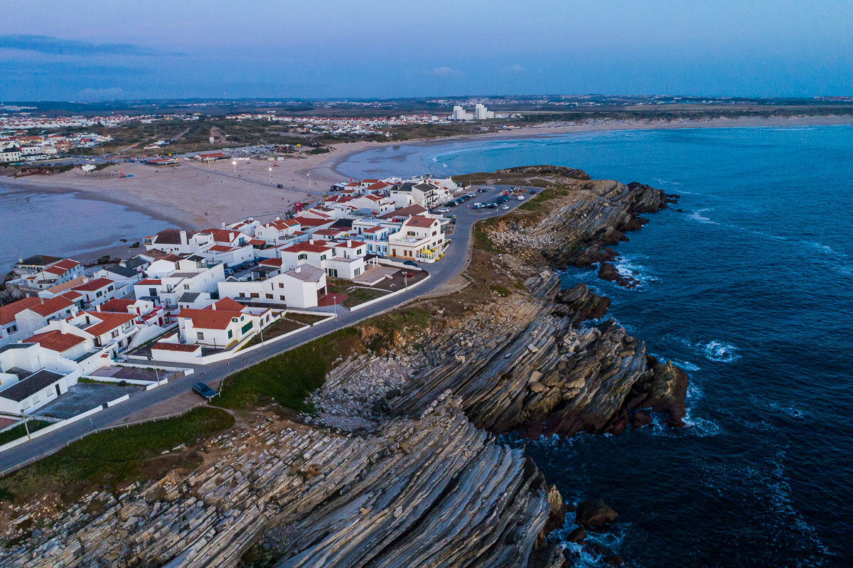
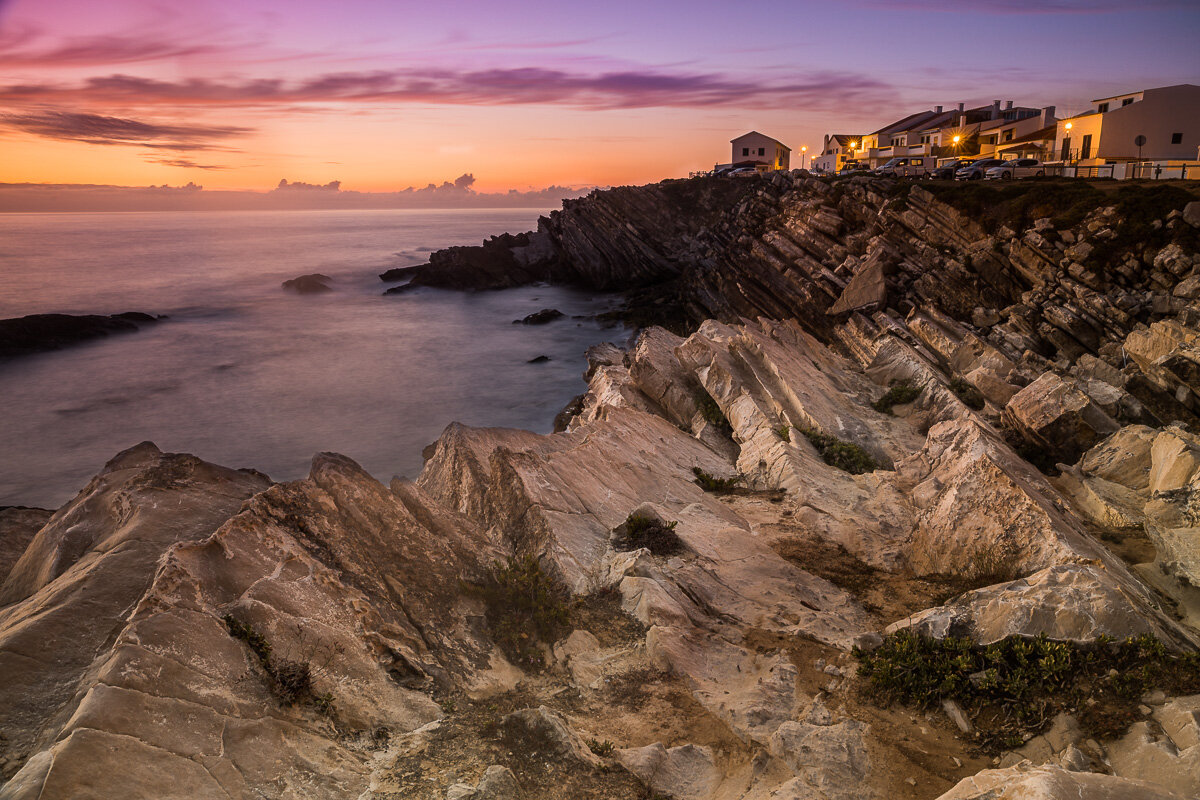
Baleal Island, a small drive away from Peniche, is an unusual island. Not only is it connected to the mainland by a thin stretch of road, it also sits atop unusual rock formations to either side. This is a popular sunset spot for locals and tourists alike. There are many spots to sit peacefully by the coast and watch the sun go down over the sea, colouring the white village and its layered rocks as it goes.
A Fort in the Atlantic Ocean
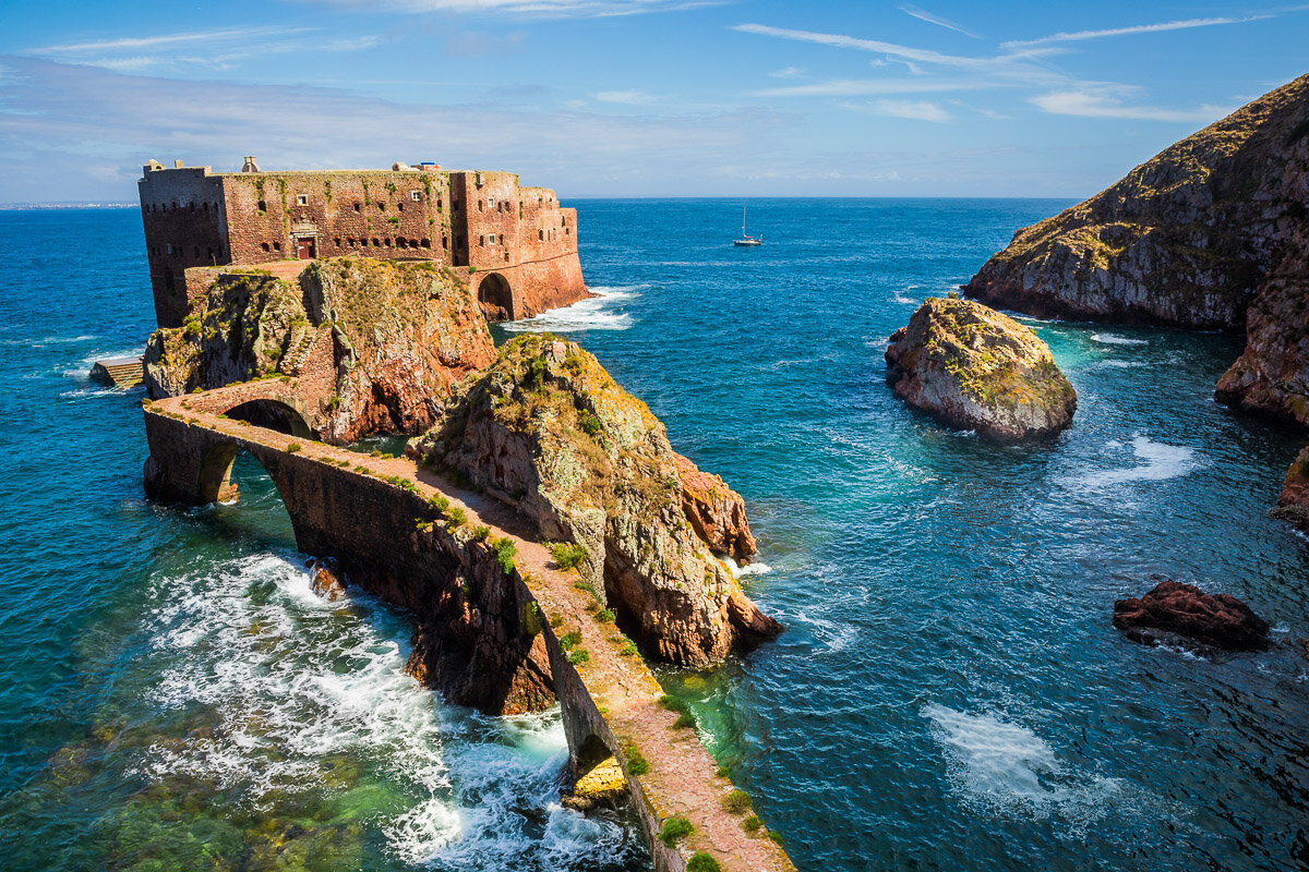
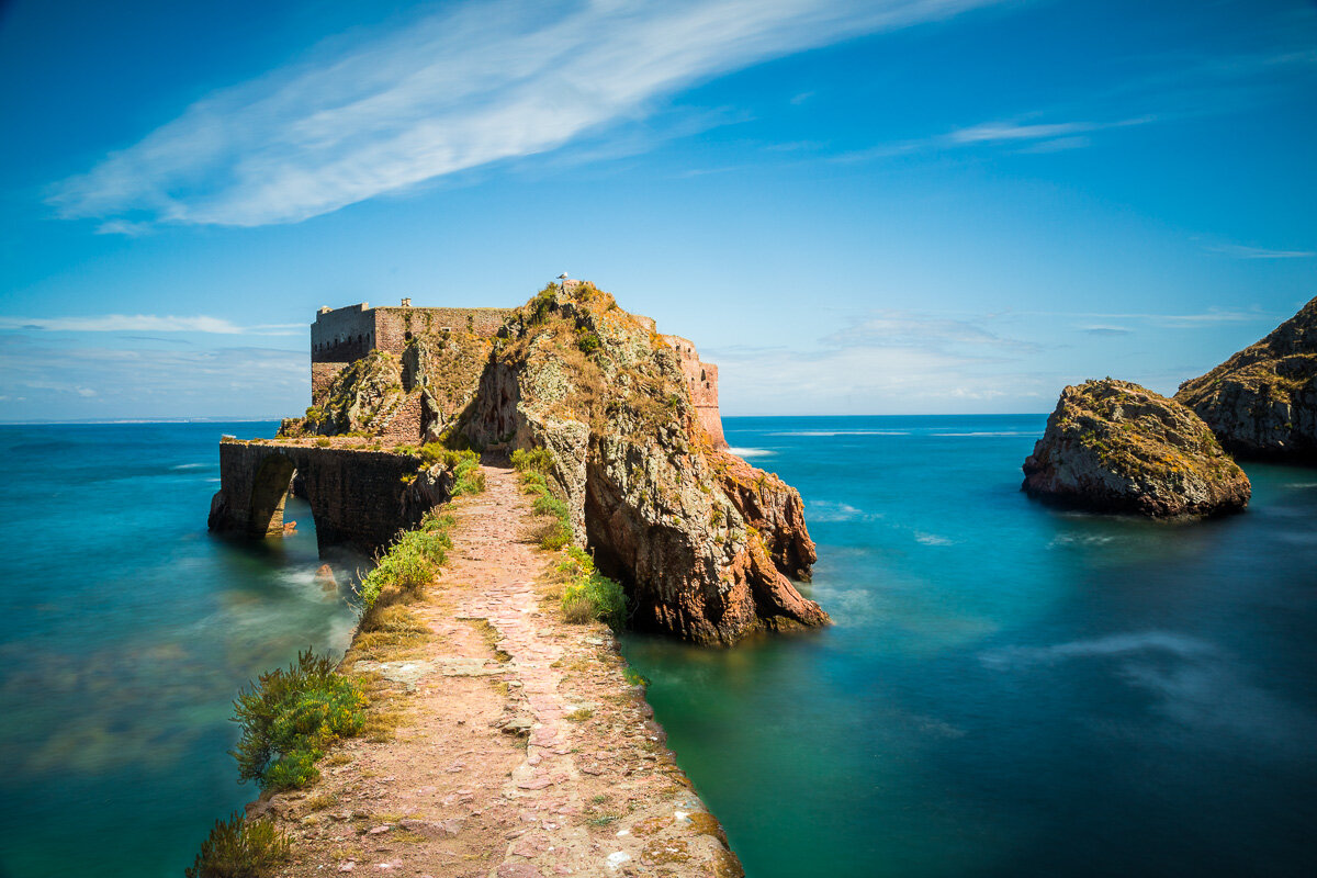
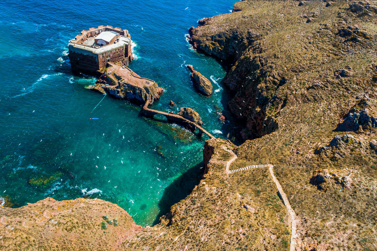
Just a short boat ride from Peniche, on the coast of Portugal, lies the Berlenga Grande Island. The island is famous for its red fort, sitting in the middle of the Atlantic Ocean and connected to the island by a narrow bridge. The Fort of São João Baptista das Berlengas was originally built as a monastery, from which monks could assist the regular shipwrecks in the area. However, the plan soon proved insurmountable - the monks regularly contracted diseases, were unable to contact the mainland, and were attacked by pirates. The ruins of what was once the monastery were restored as the fort we see today, which is now open for visitors in the Summer months.
Cape Carvoeiro
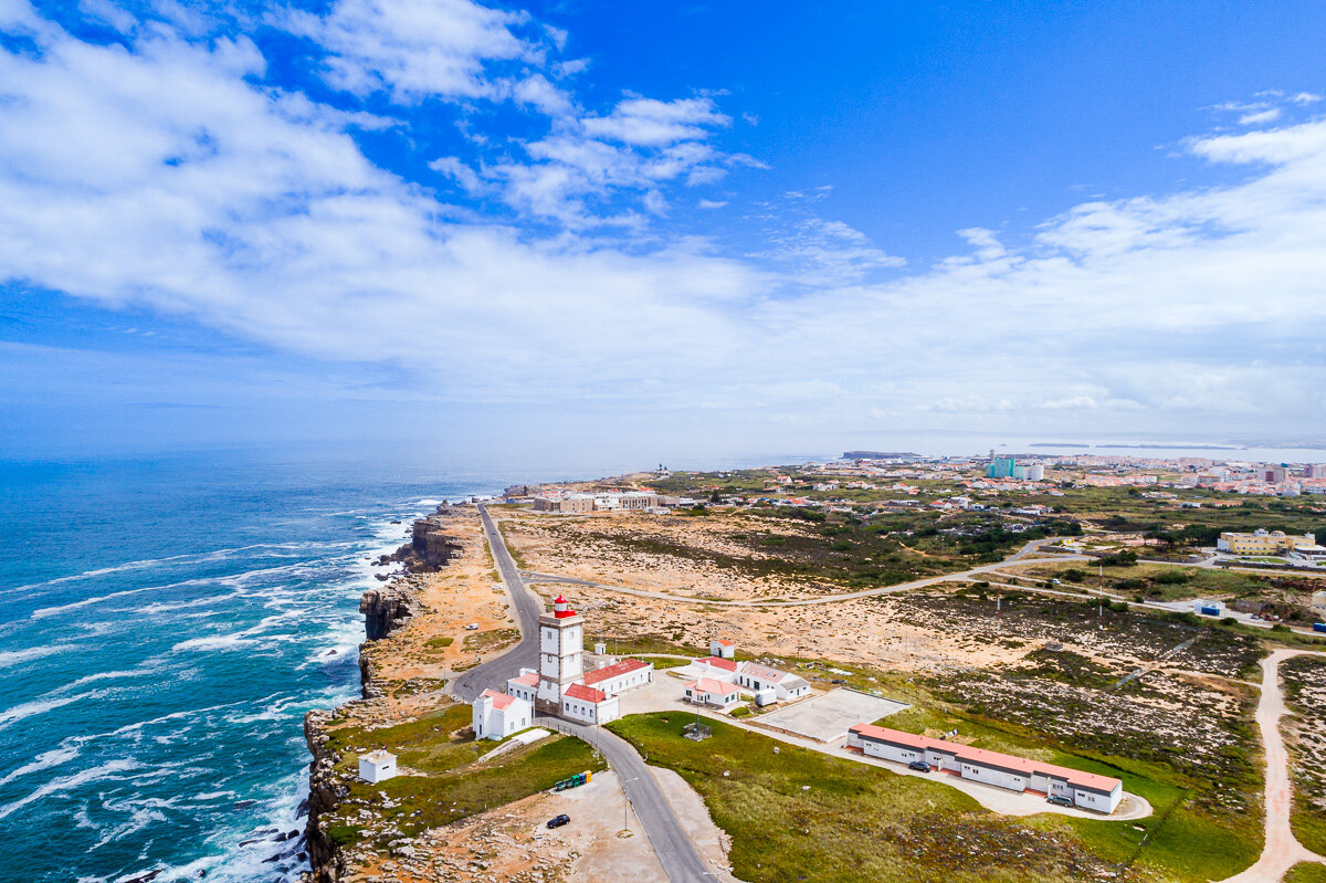
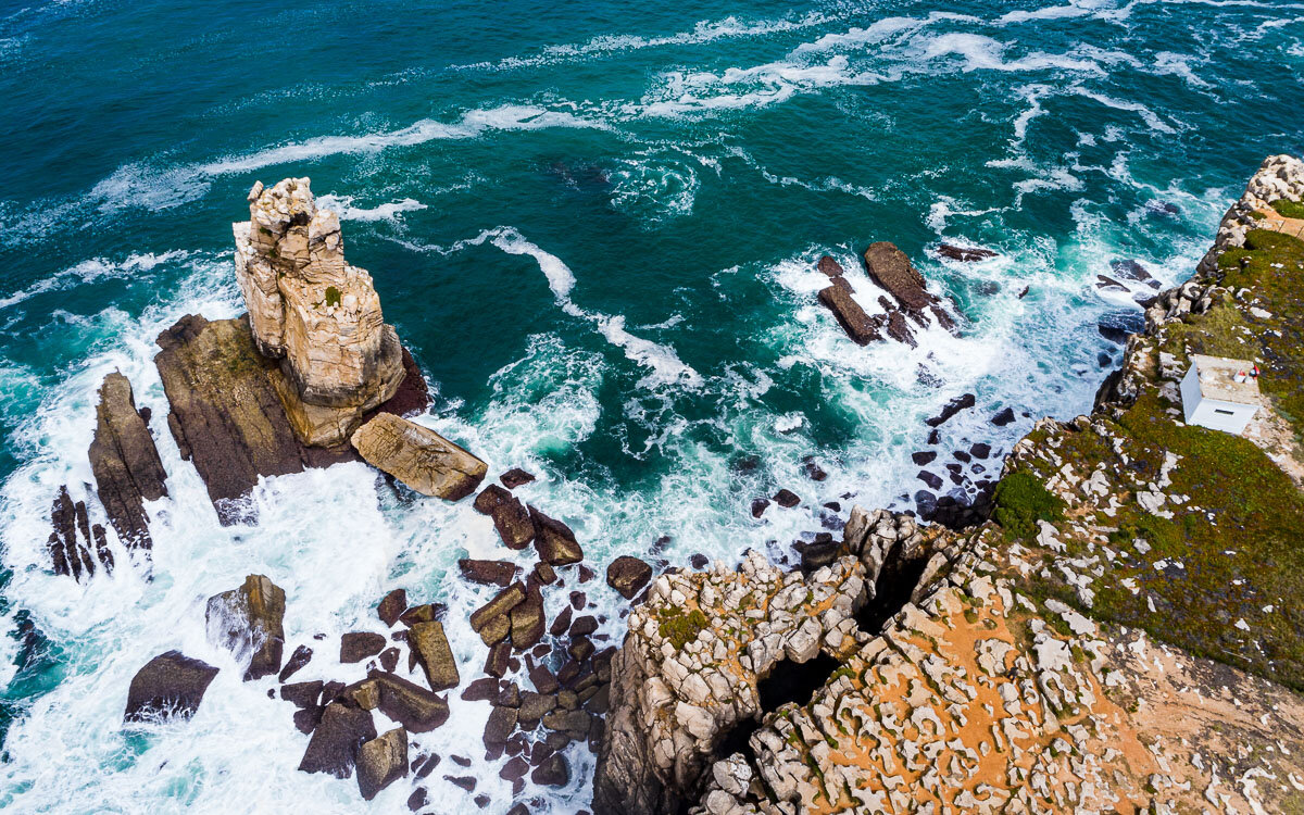
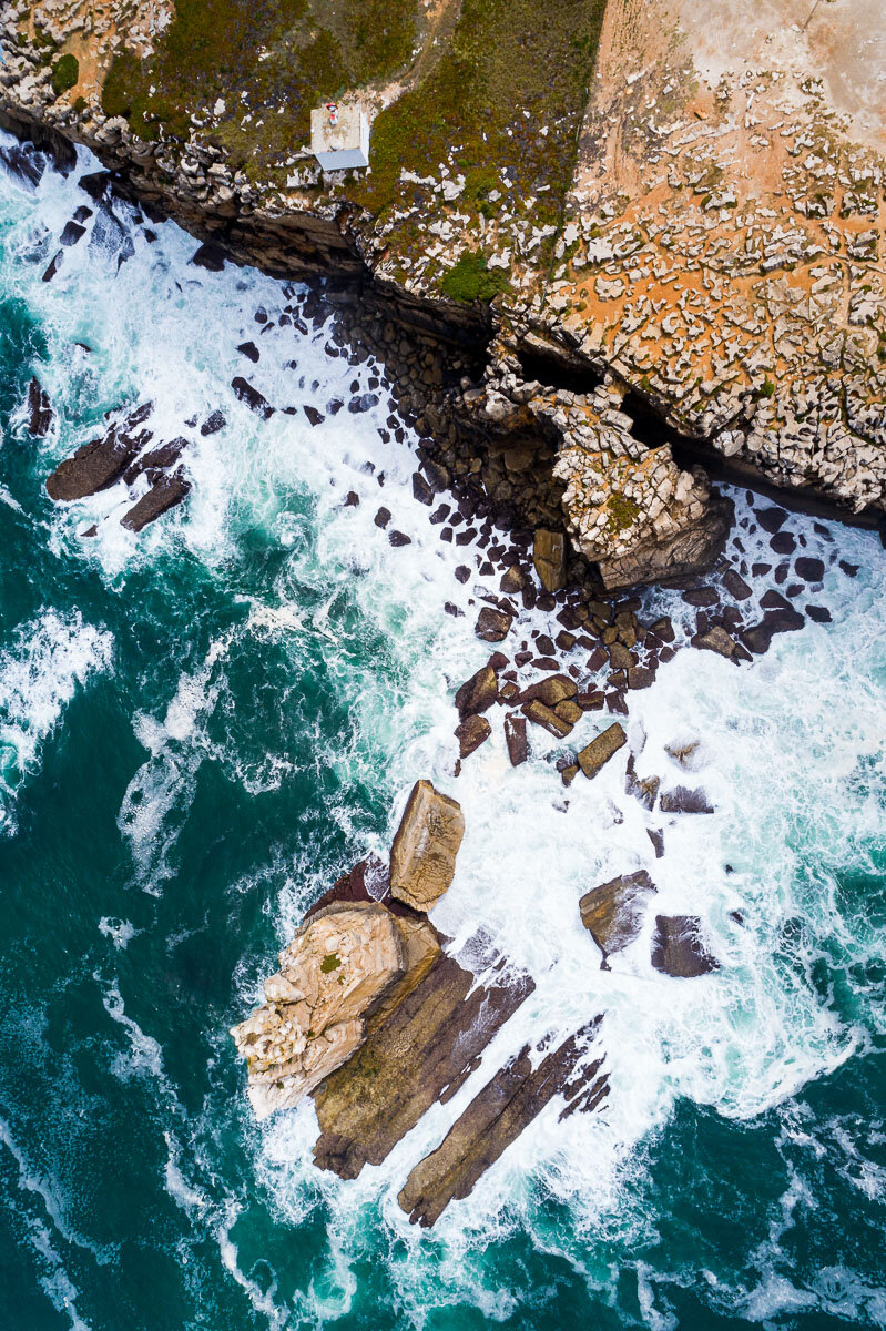
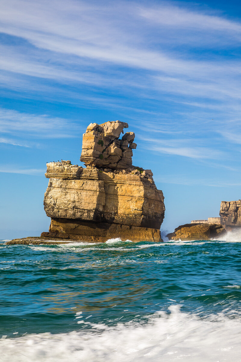
Cape Carvoeiro sits at the westernmost point of Peniche, perched over the Atlantic Ocean. We visited this spectacular location on the way to Peniche, and then again on the way to the Berlenga Islands. The wind was suprisingly calm on that day, which provided an excellent opportunity to fly the drone over the area and get a bird’s eye view of the place.
Atacama's Valleys
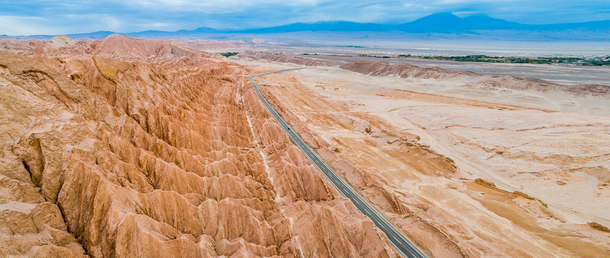
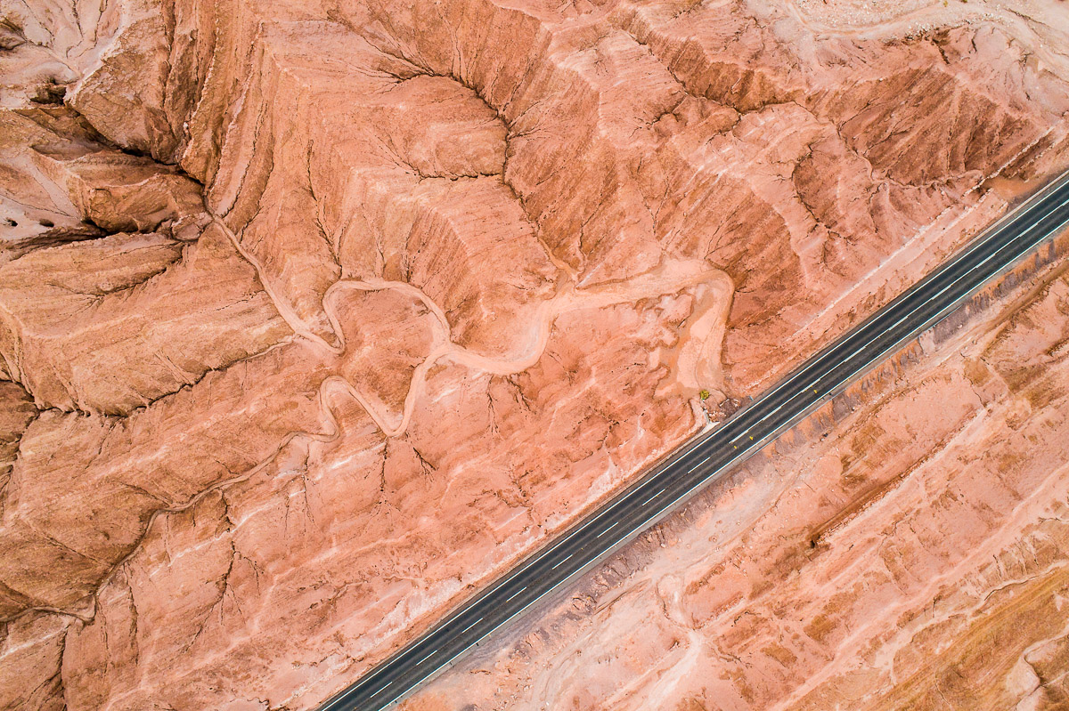
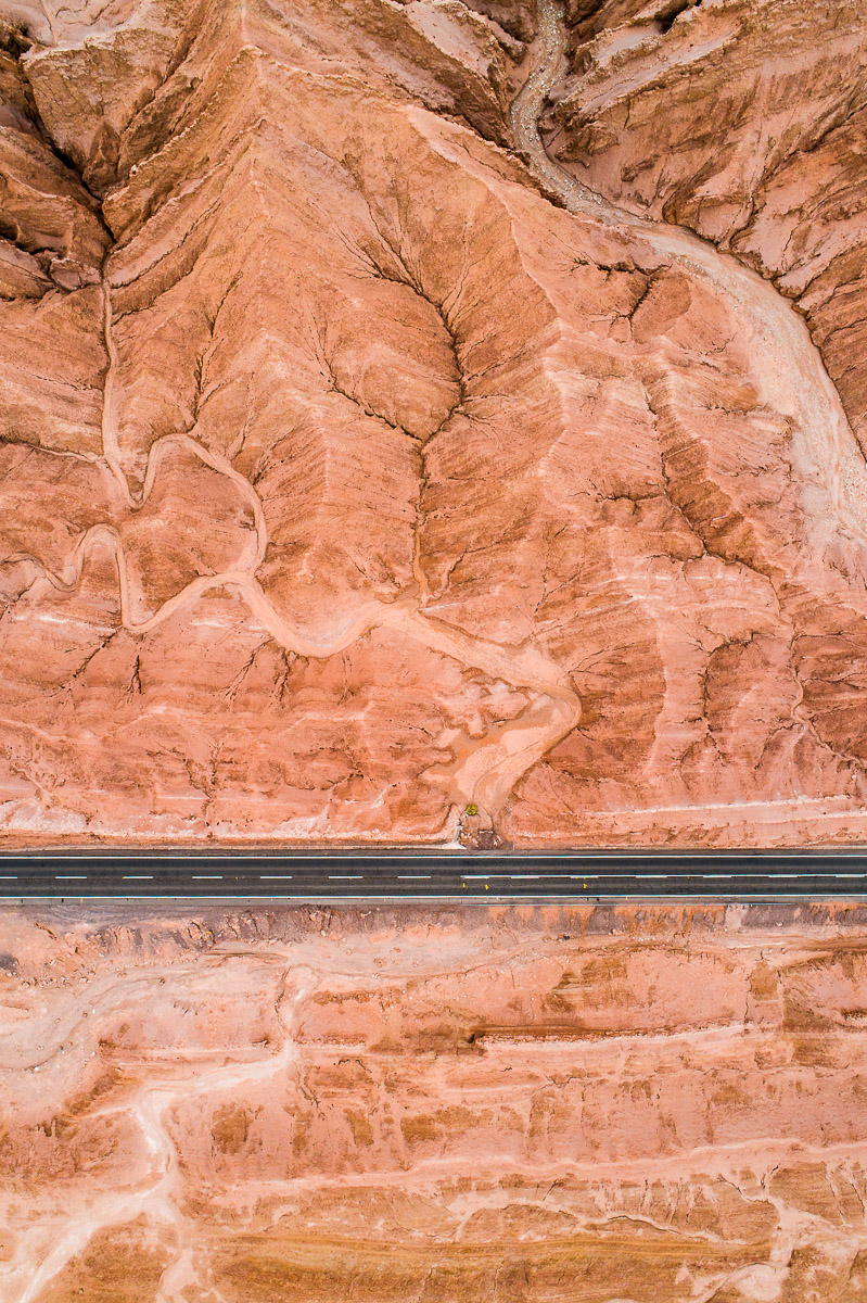
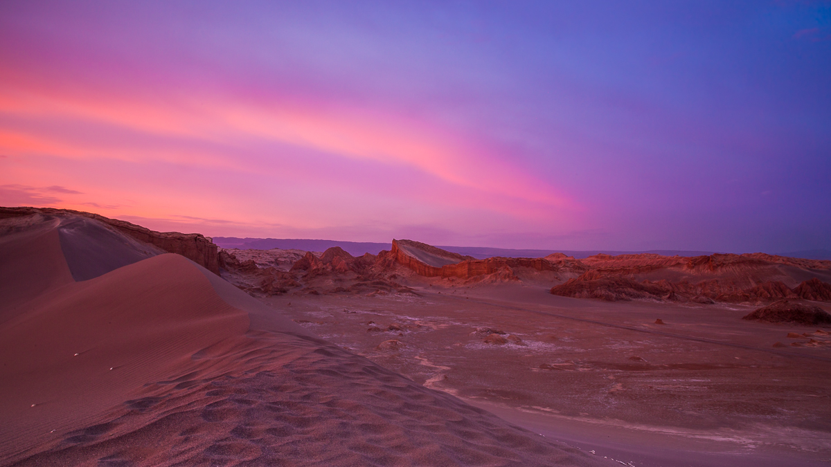
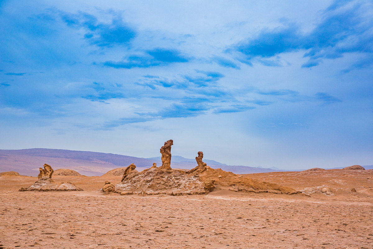
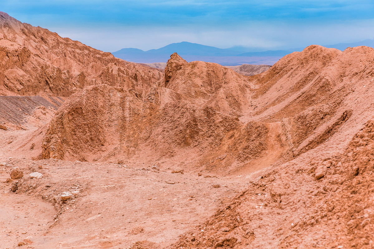
This weekend, I’m sharing a few more highlights of the Atacama Desert. First, some aerial photos of the Death Valley, followed by an incredible sunset at the Amphitheatre in the Moon Valley. The Atacama is one of the most unusual landscapes I have ever photographed, and I would have loved to spend longer there to capture more of its arresting beauty. I hope to be back there again some day soon!
Lagunas Escondidas de Baltinache and Surroundings
The blog has had to take a bit of a hiatus lately, but will be back up and running every Saturday for the next few months.
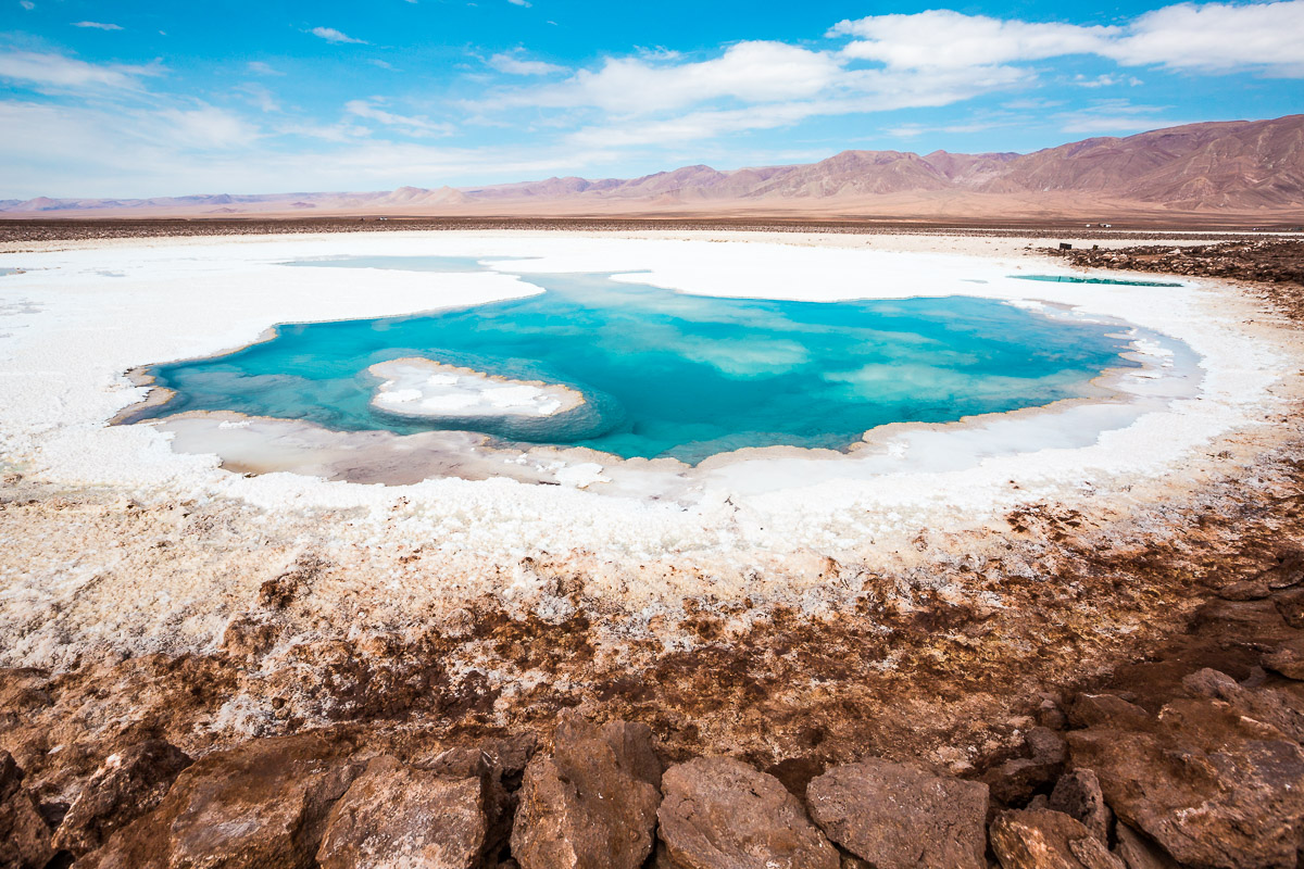
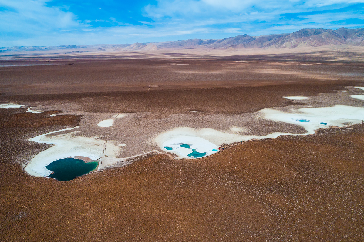
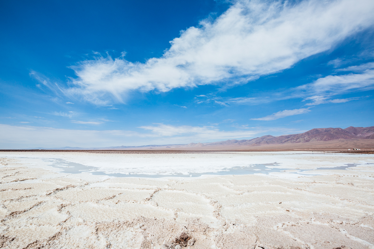
This weekend I am sharing some of my favourite images of the incredible Lagunas Escondidas de Baltinache we photographed at the Atacama Desert. I hope you enjoy these images of spectacular hidden lagoons and alien moon-like landscapes.
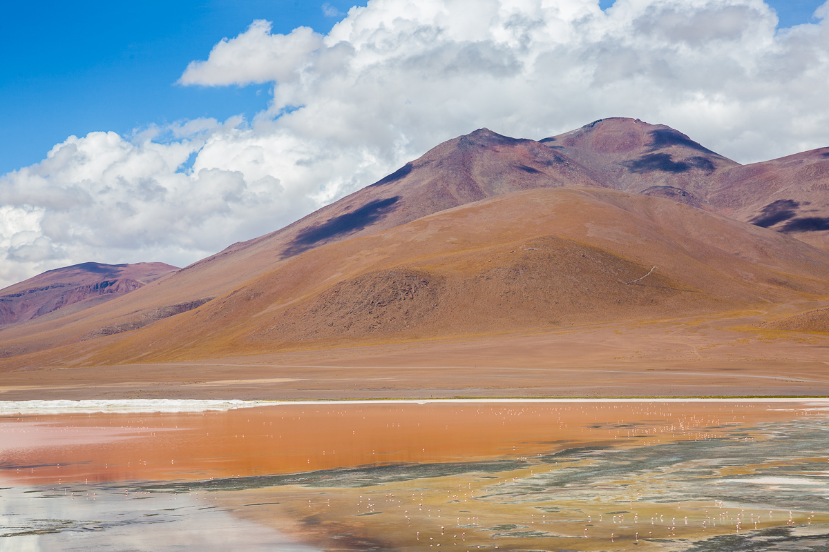
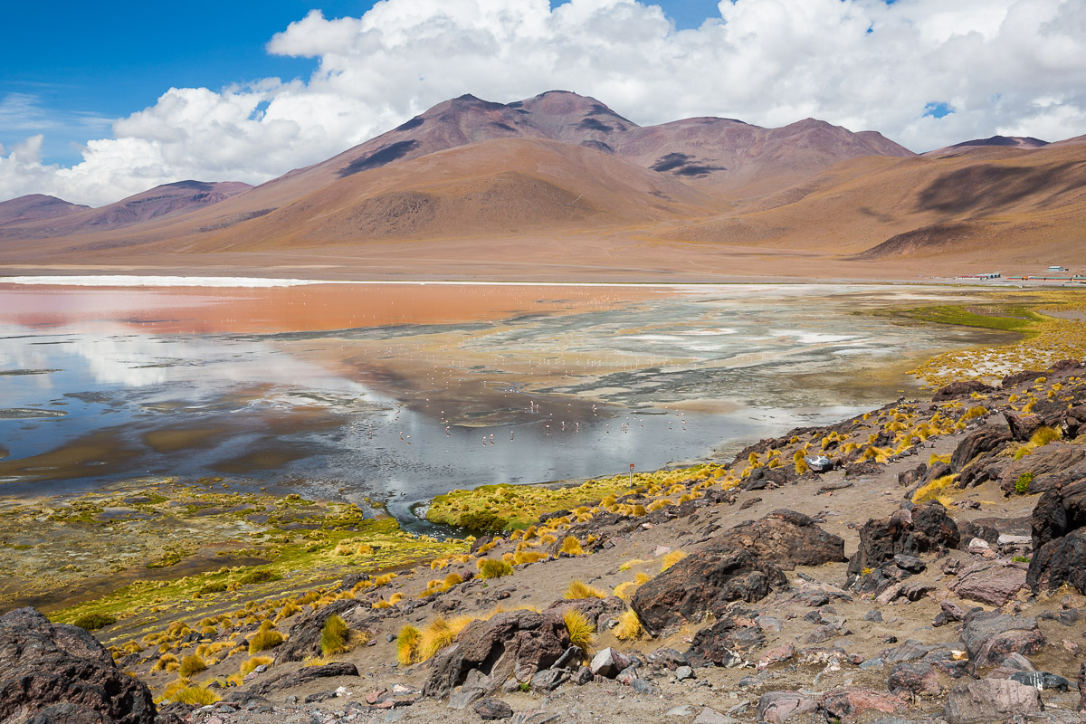
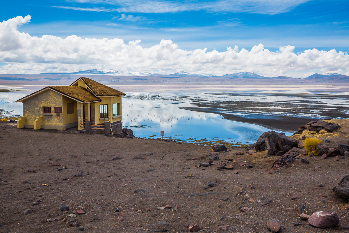
Laguna Colorada and Termas de Polques
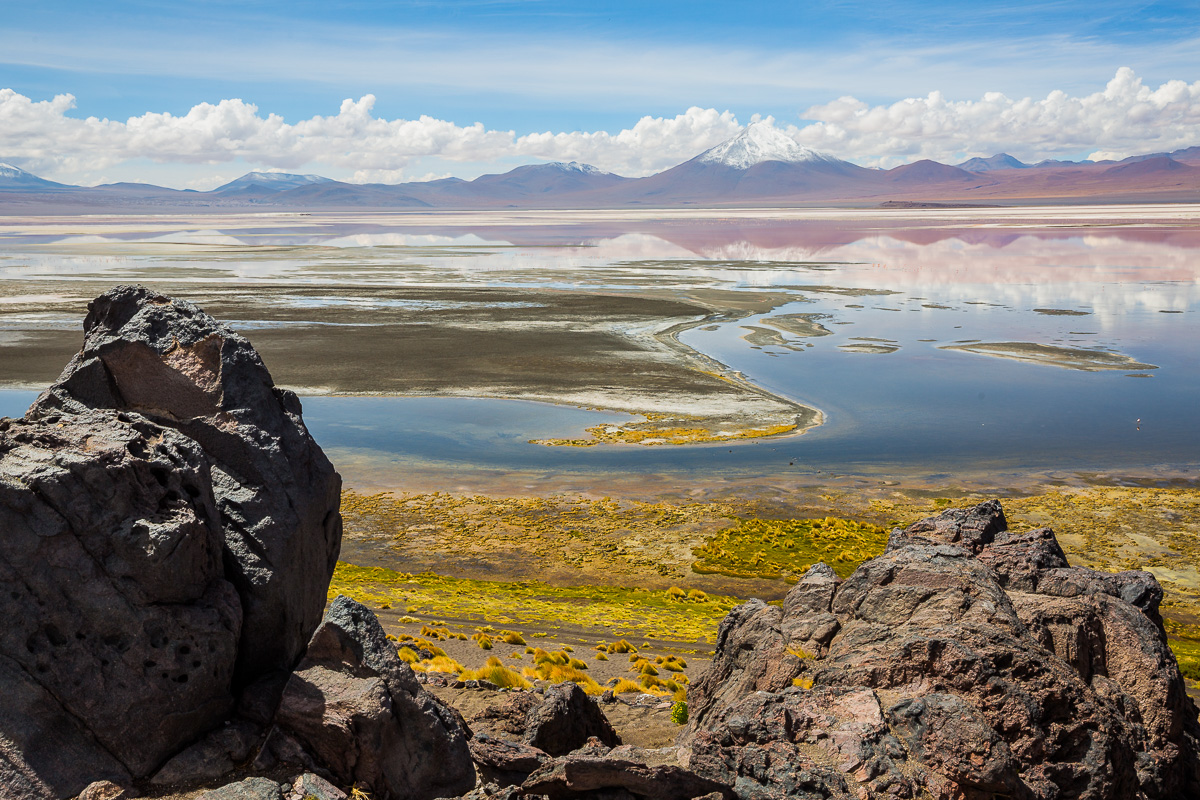
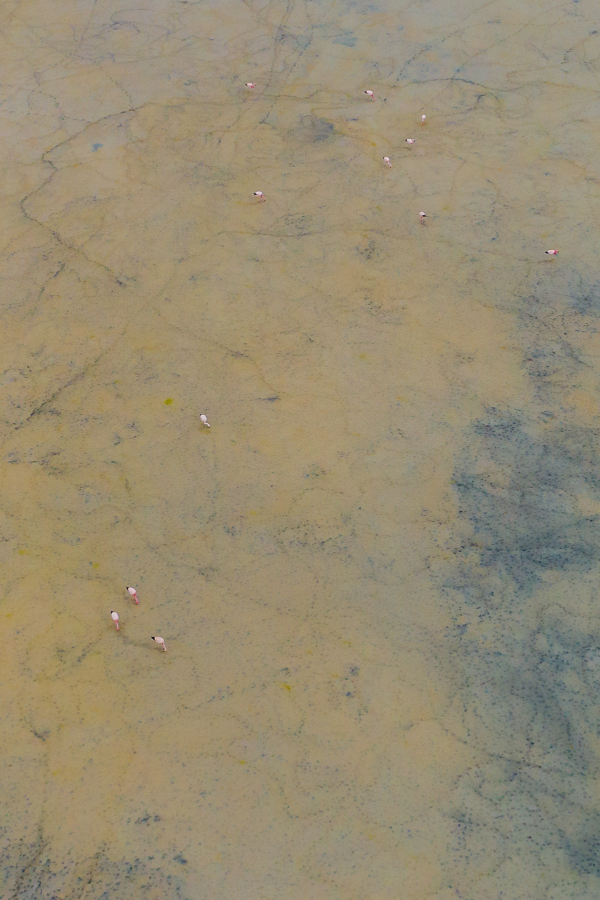
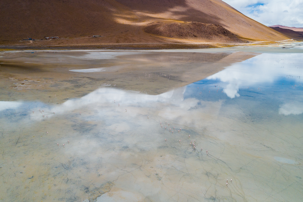
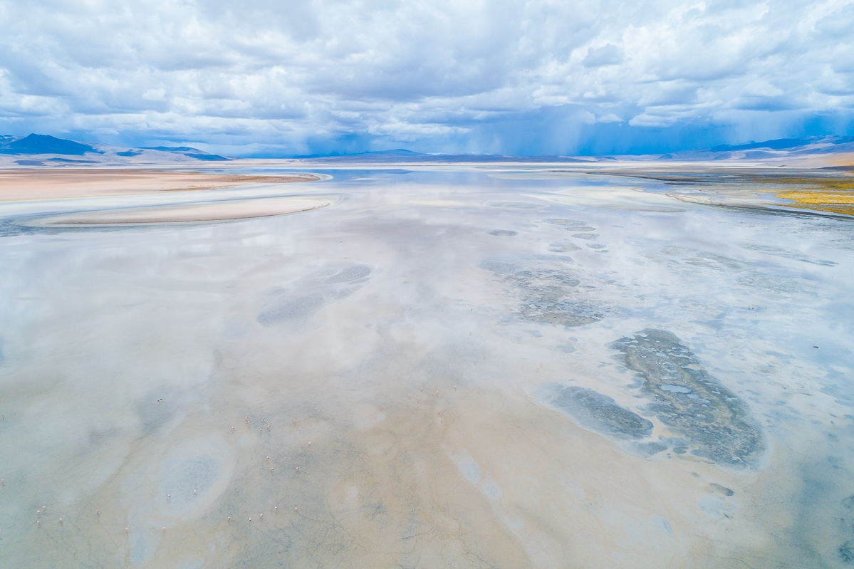
Our final stops in the Eduardo Avaroa Andean Fauna National Reserve were Laguna Colorada and Termas de Polque. Both spots amazed us with their scenery and provided yet another opportunity to see wild flamingoes.
Both these locations provided excellent opportunities for flying the drone and getting some aerial images, although we did keep it quite high so we didn’t interfere with the wildlife.
Here are some images from both land and air of these two locations, our last stop in Bolivia before we headed to Chile’s Atacama Desert.
Siloli Desert Highlights
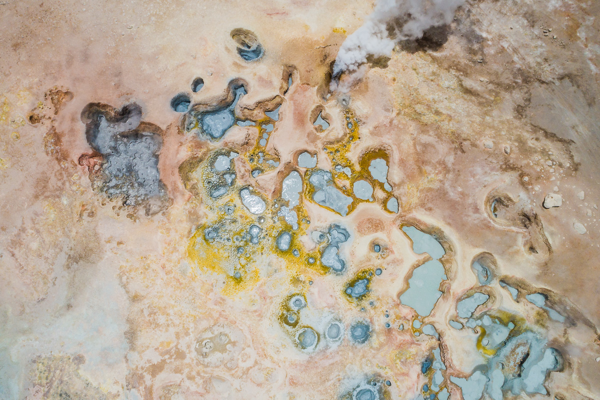
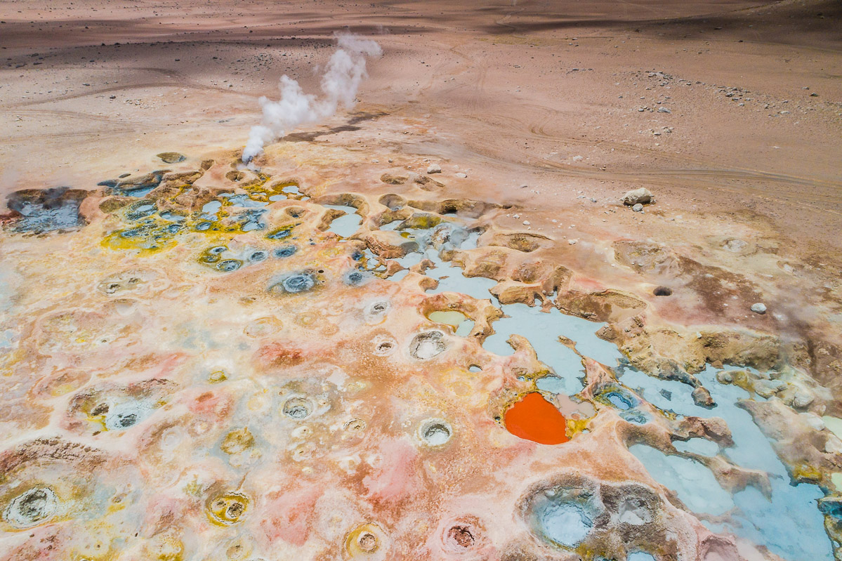
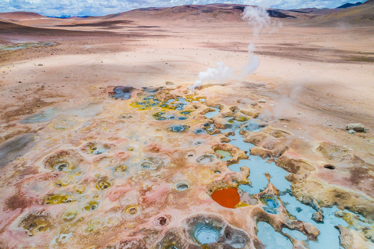
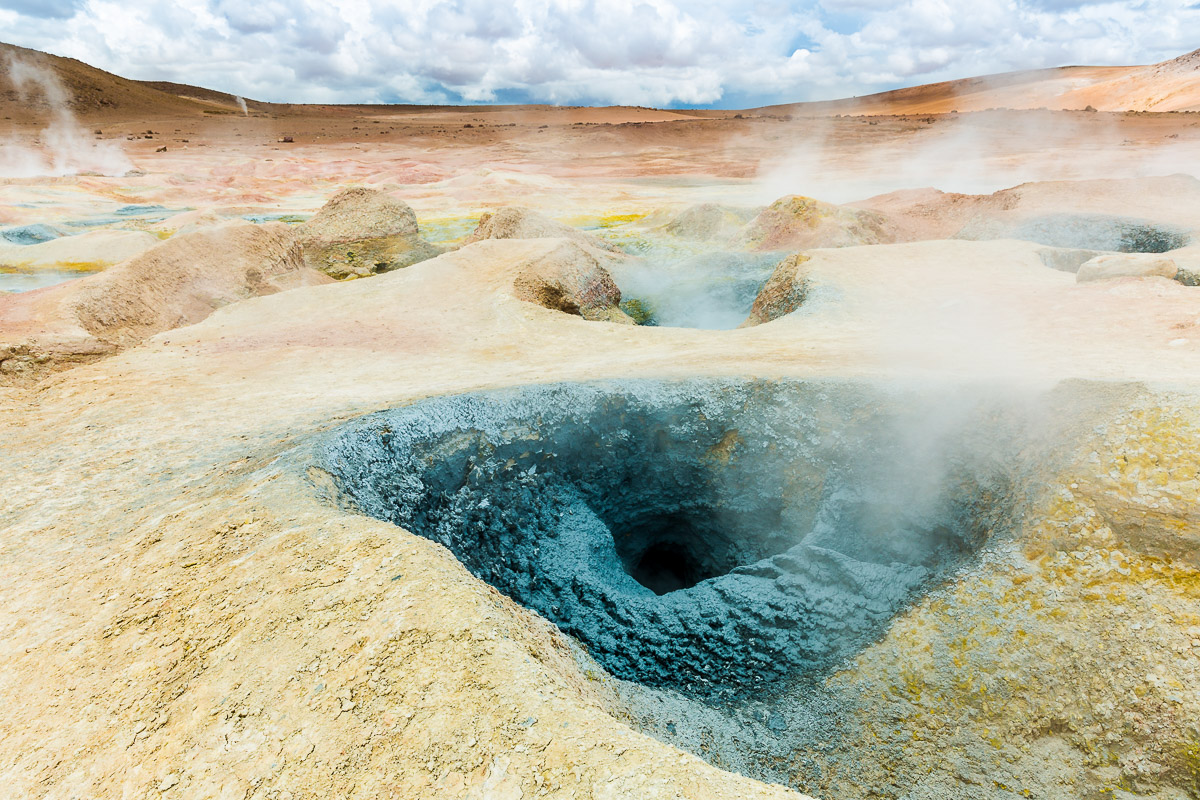
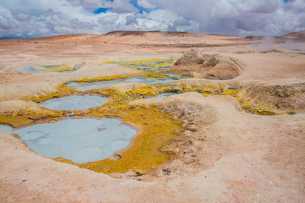
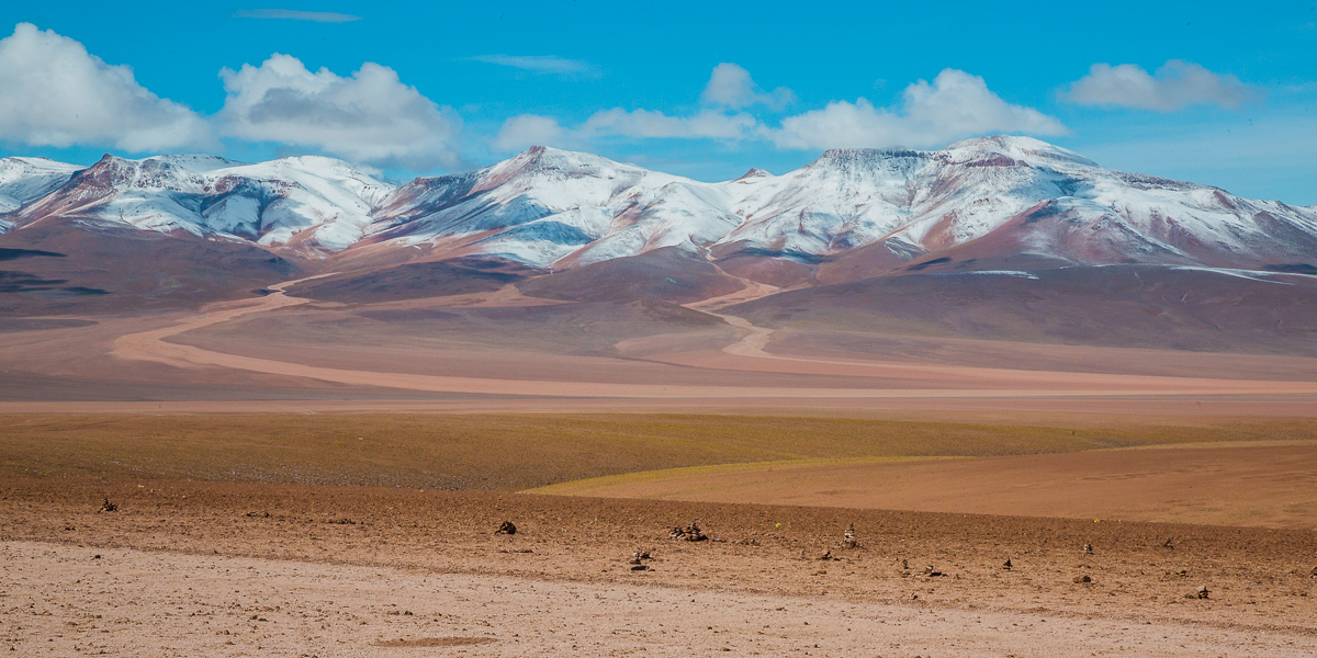
The Siloli Desert is a wonderfully dramatic landscape. It seemed almost surreal to walk through its vast planes and occasionally encounter a completely new and colourful scenery. One of my favourite spots was the Sol de la Mañana Geyser, which is a magical sight from both the land and the air.
Here are some of my photos, featuring the Salvador Dalí Desert, the geyser, and the Montaña de Siete Colores (seven-coloured mountain).

