road trip

Framing Fall in Mono County

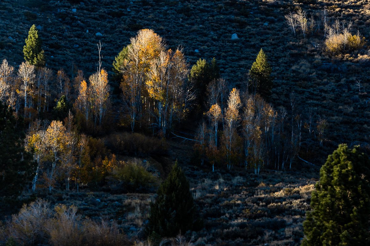
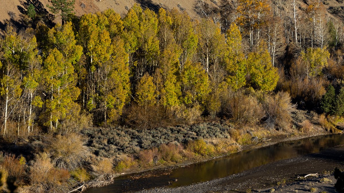
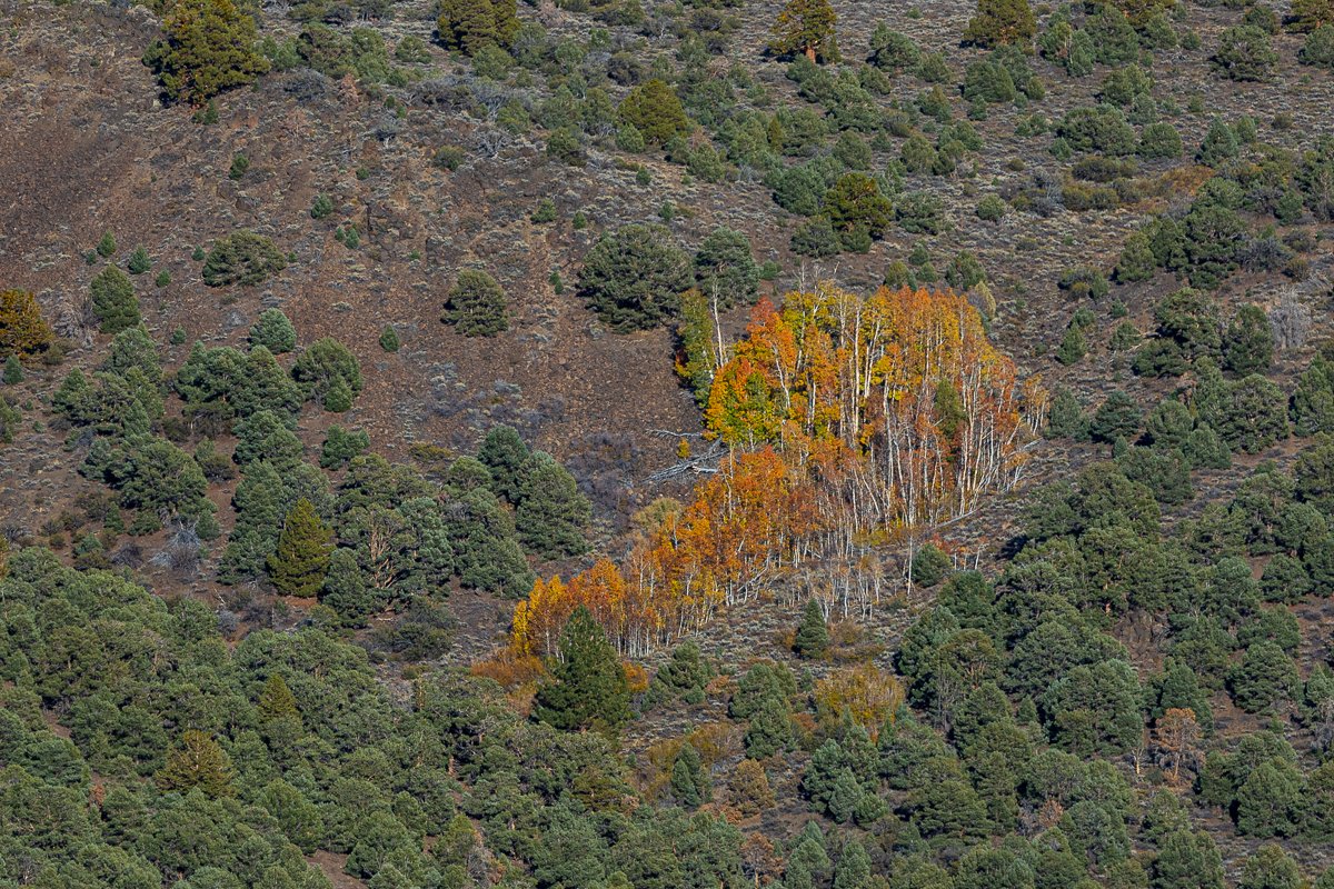
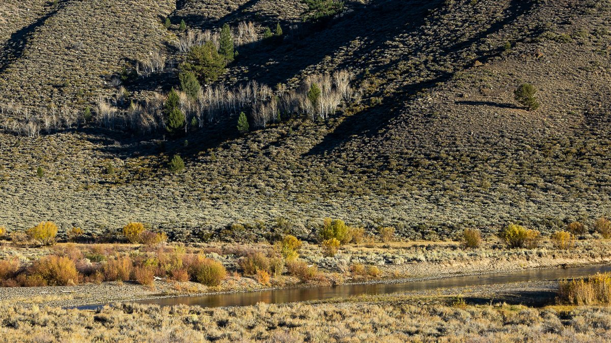
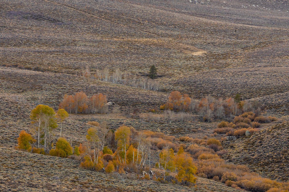
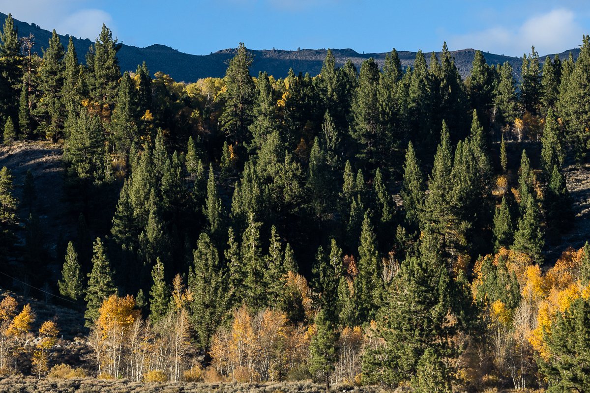
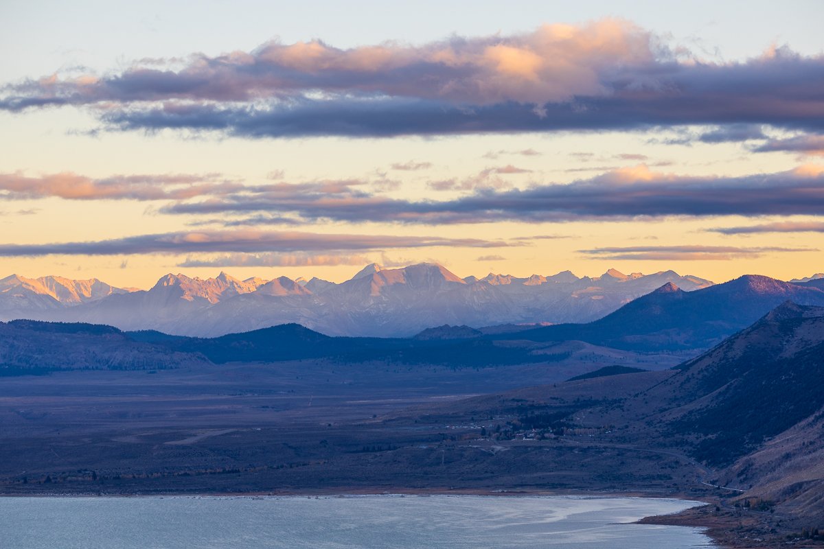
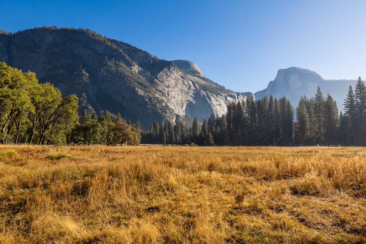
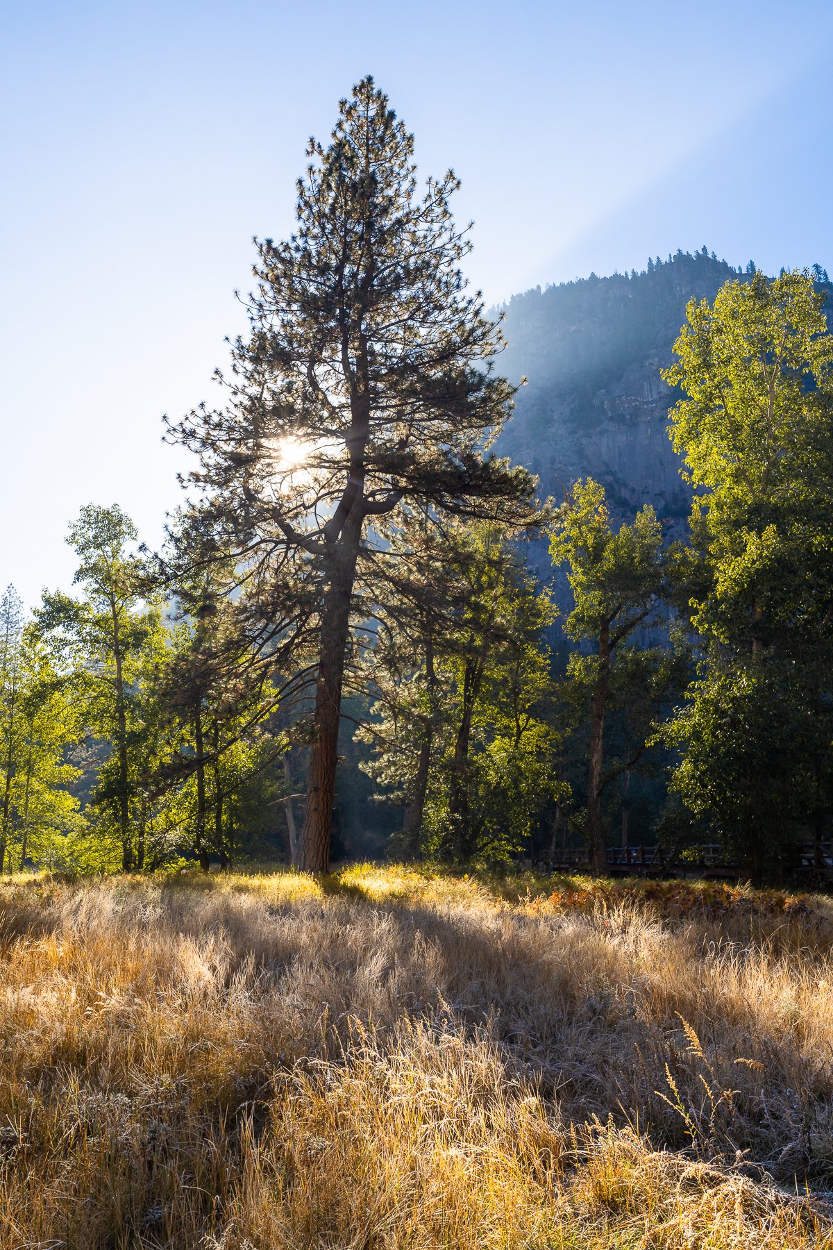
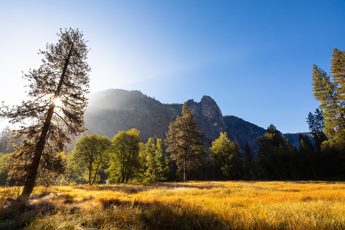
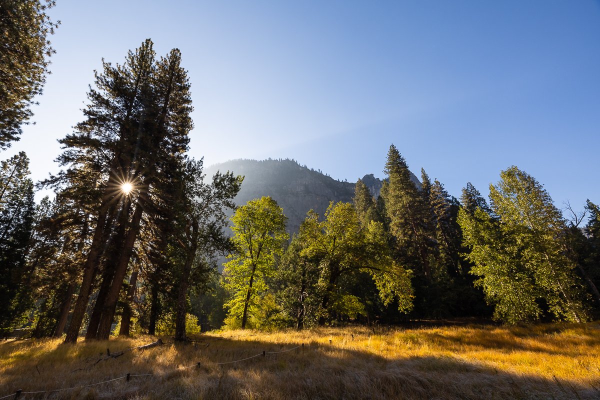
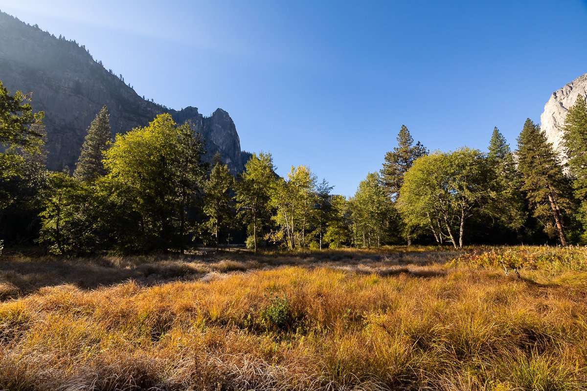
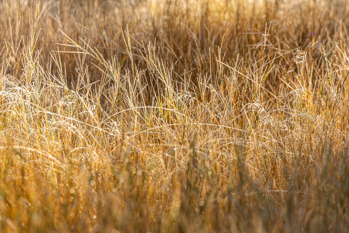
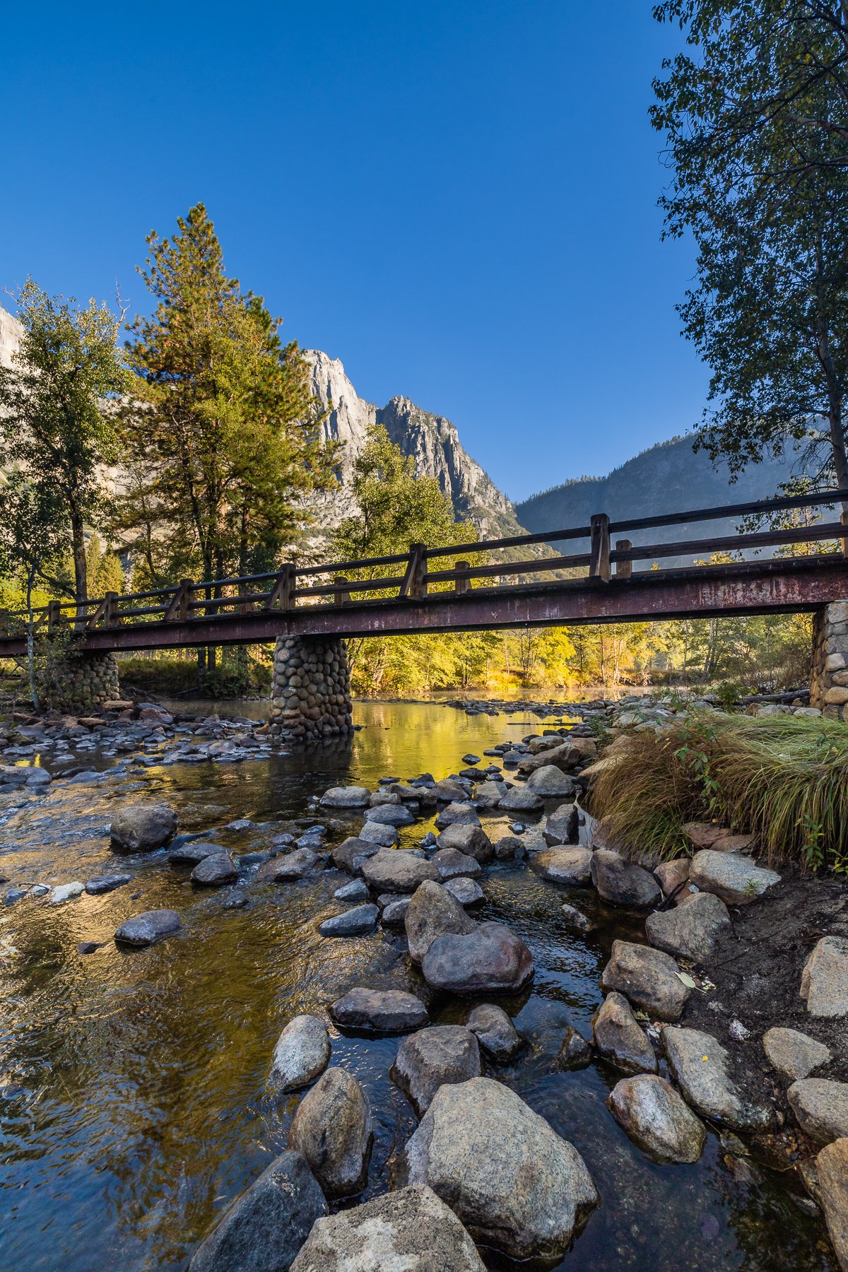
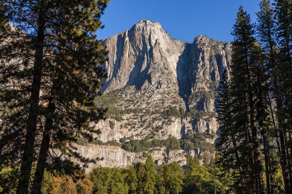
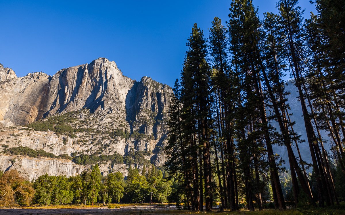
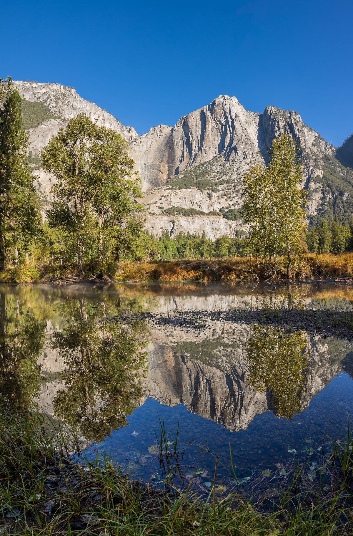
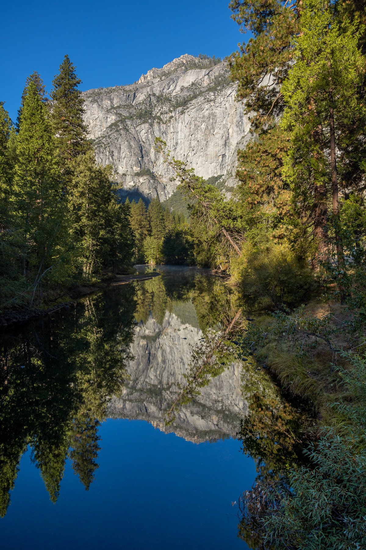
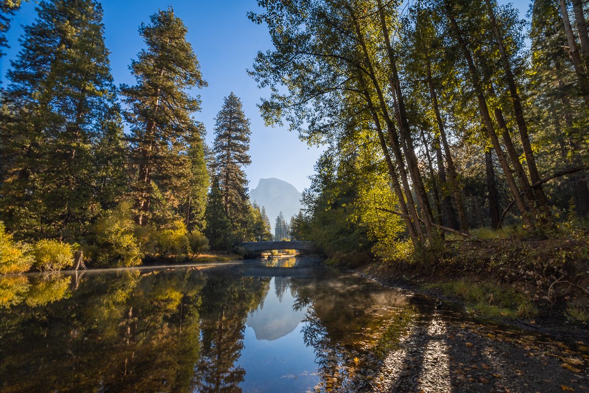
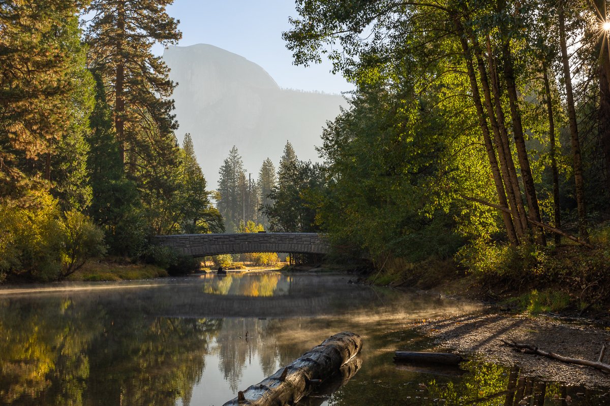
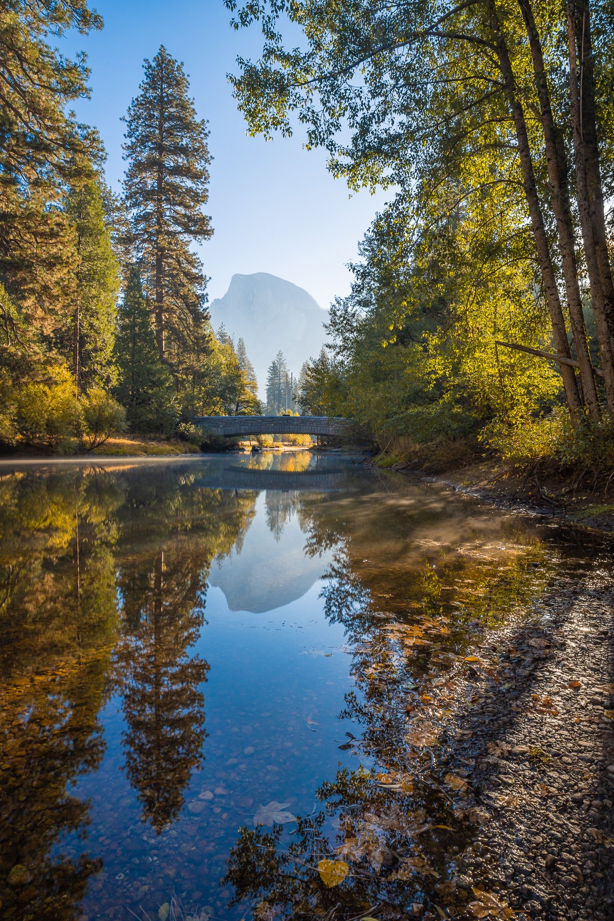
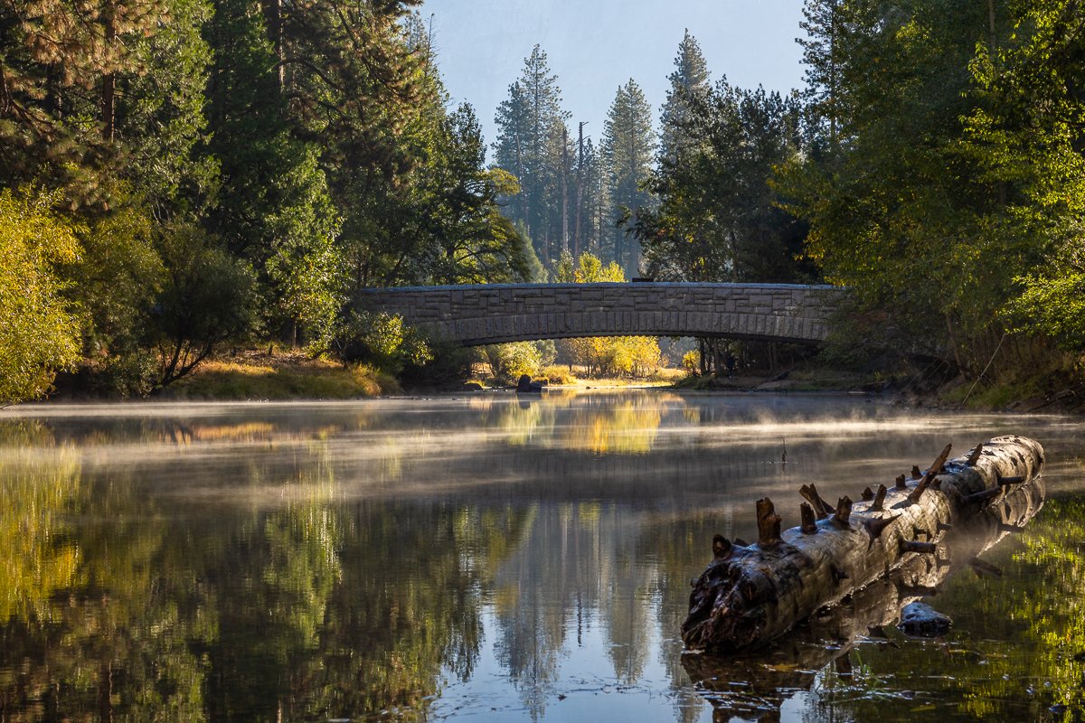
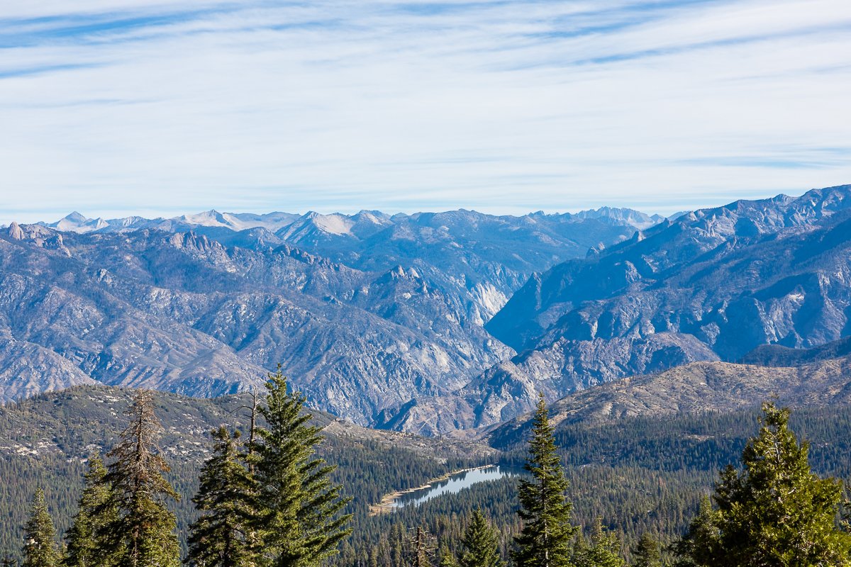
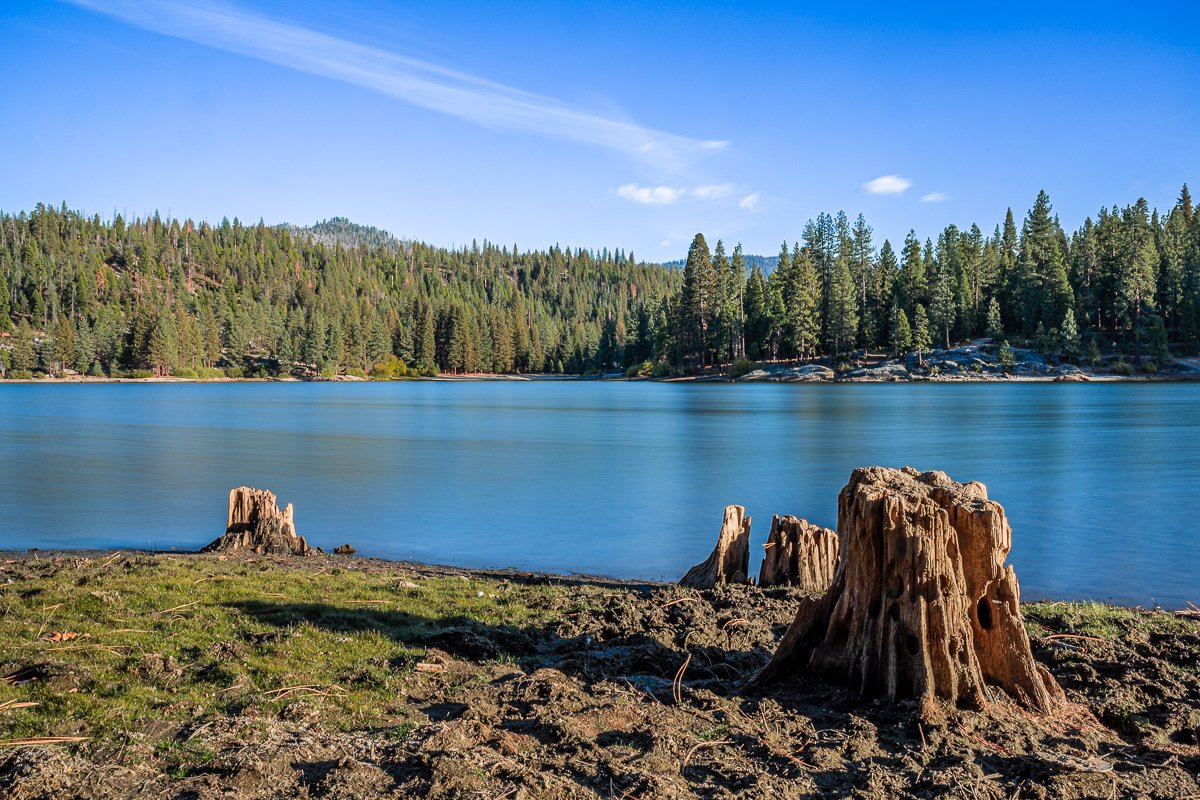
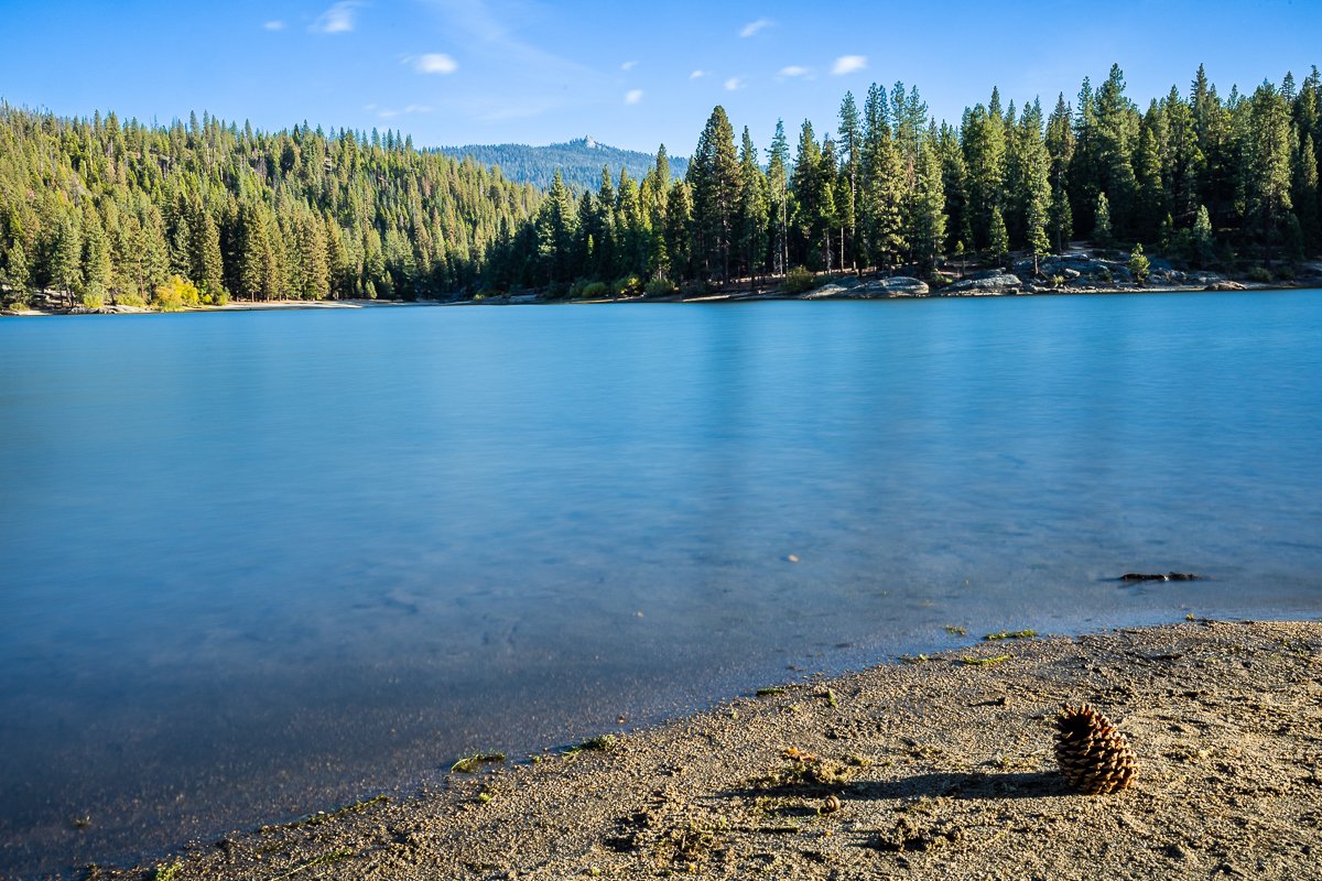
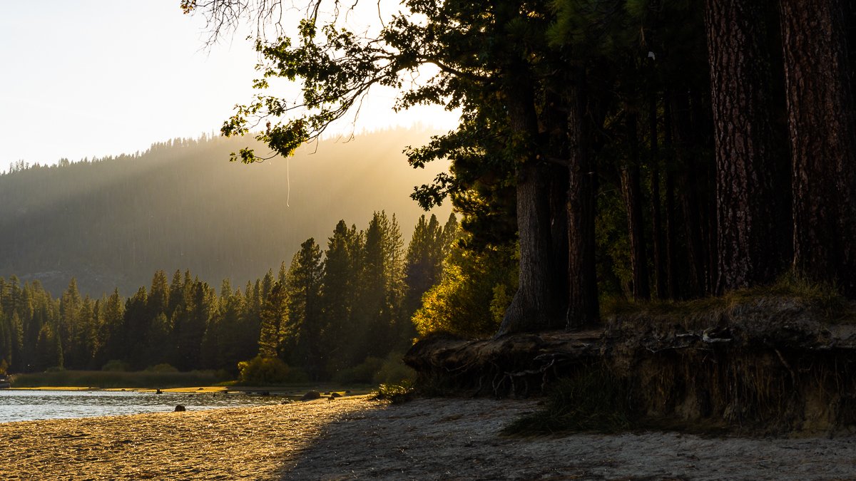
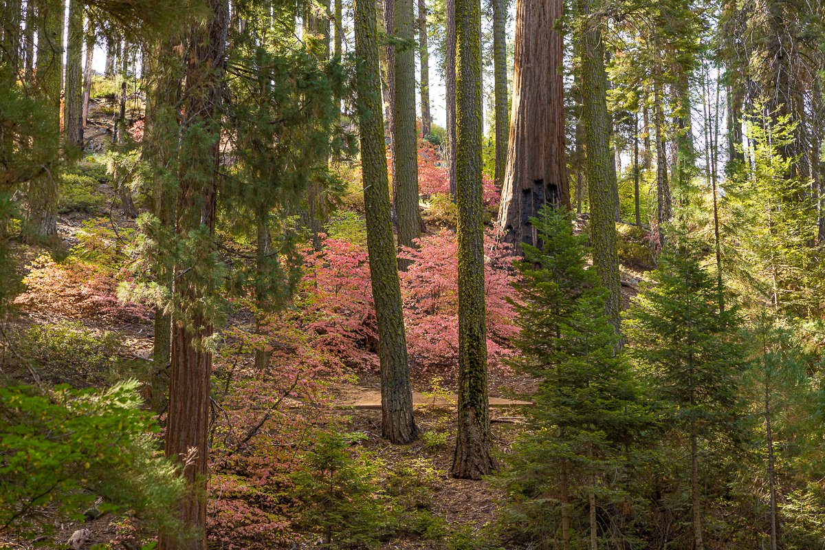
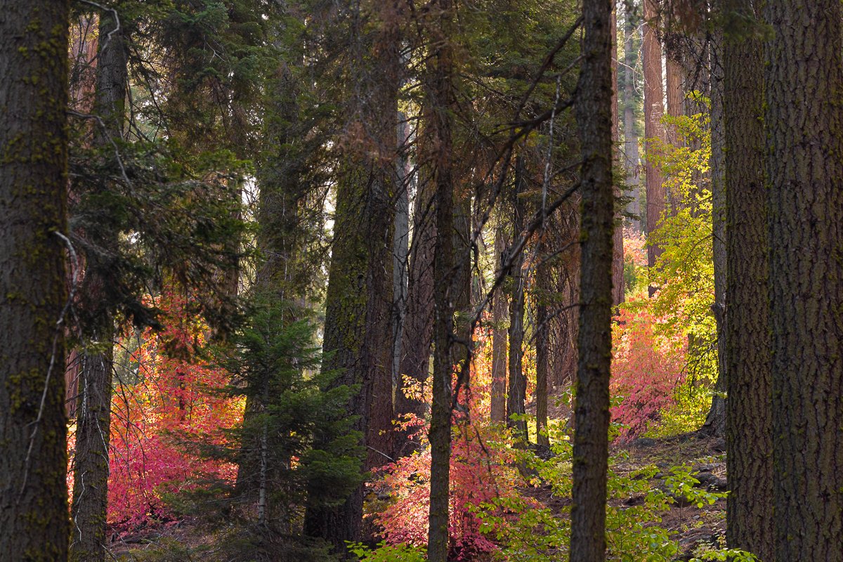
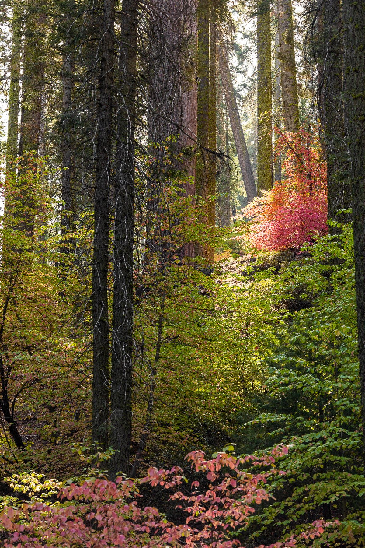
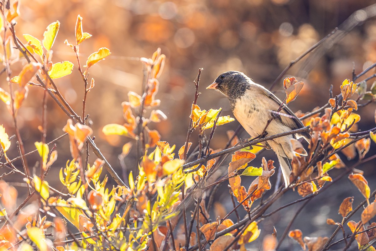
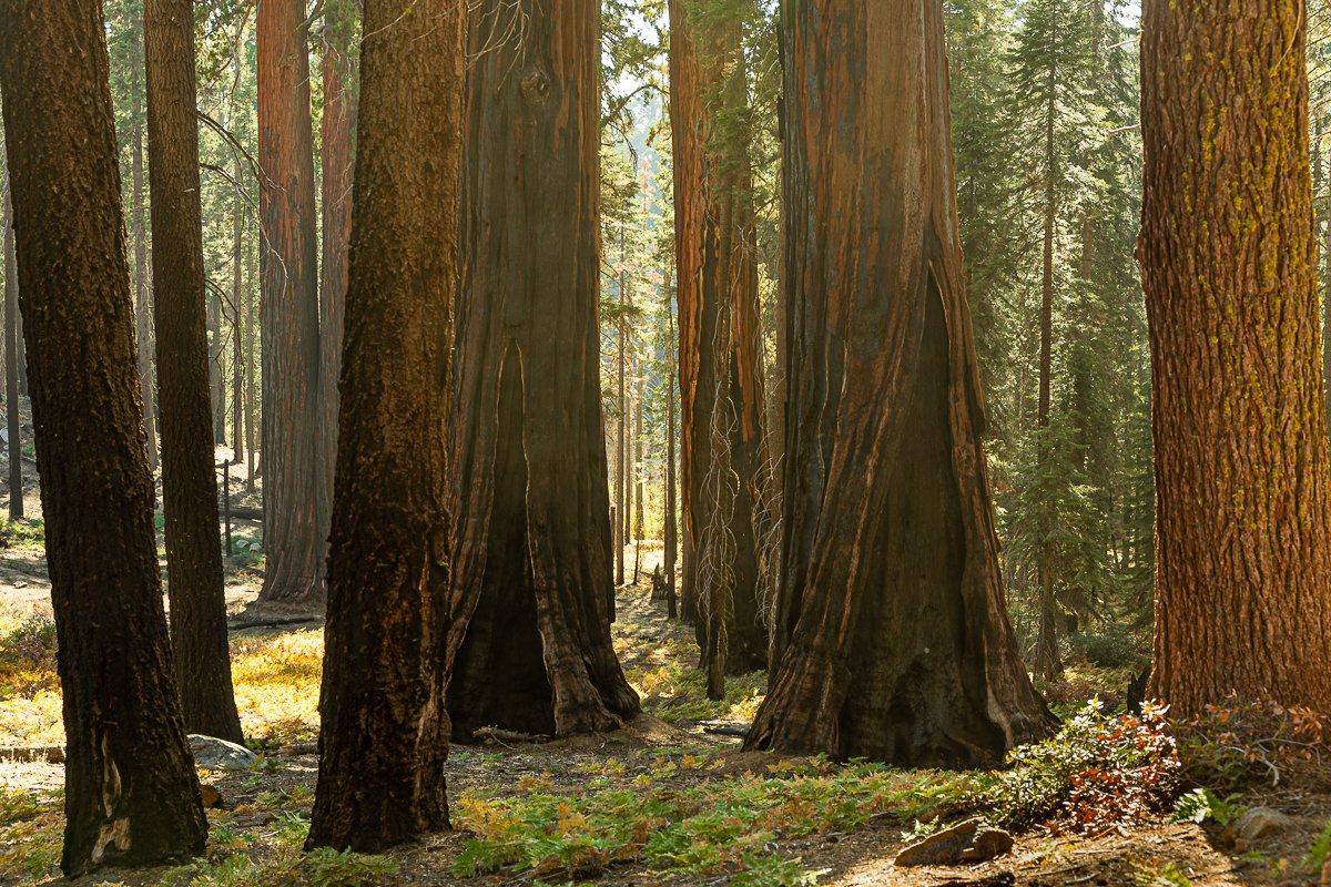
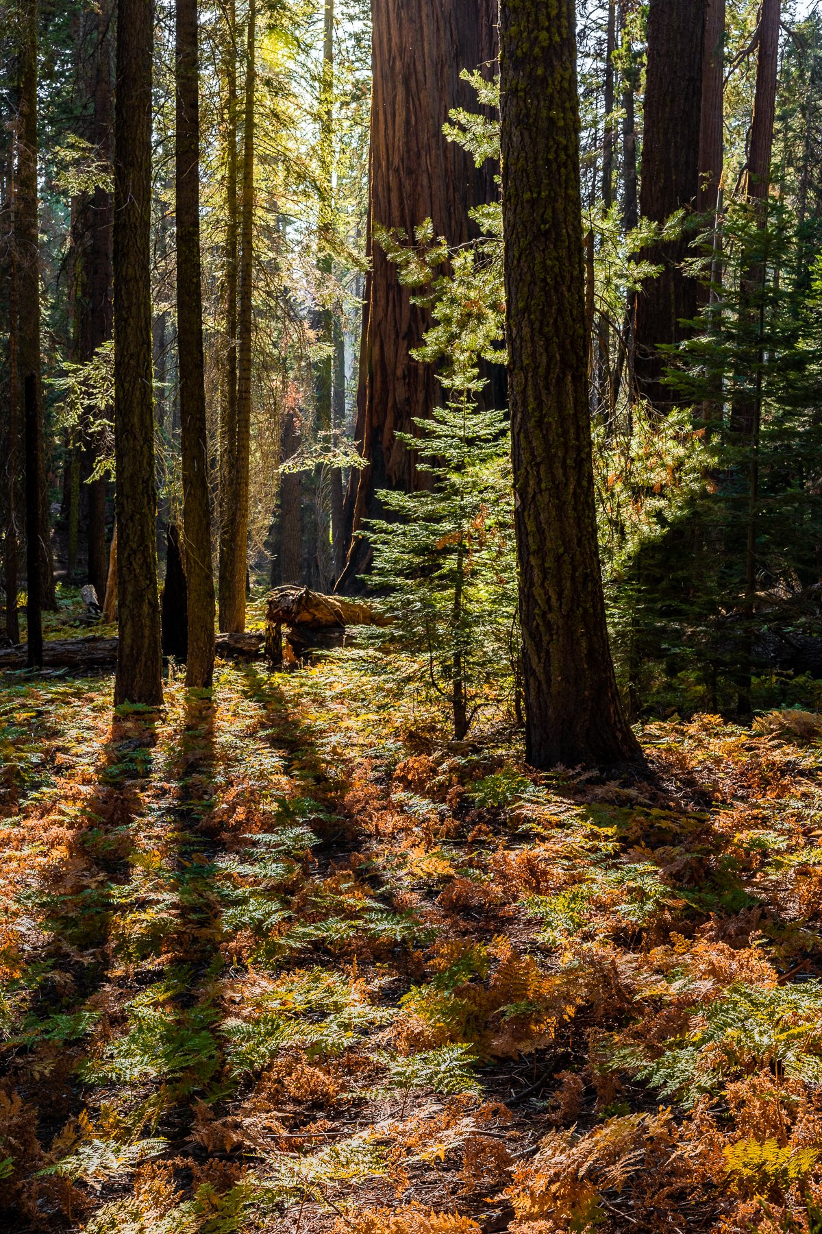
Mono County, California, transforms into a photographer's haven as autumn takes hold. The county's diverse landscapes, ranging from rugged mountains to serene valleys, offer a spectrum of colors during this season. The aspen groves dotting the landscape turn vibrant shades of gold and orange, creating a striking contrast against the evergreen pines.

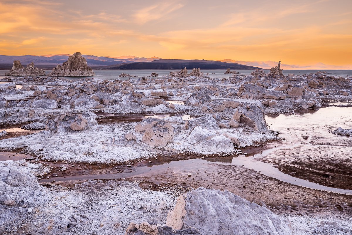
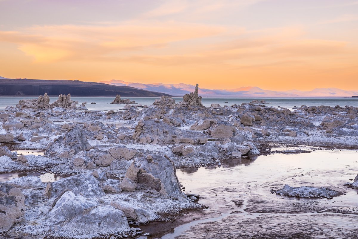
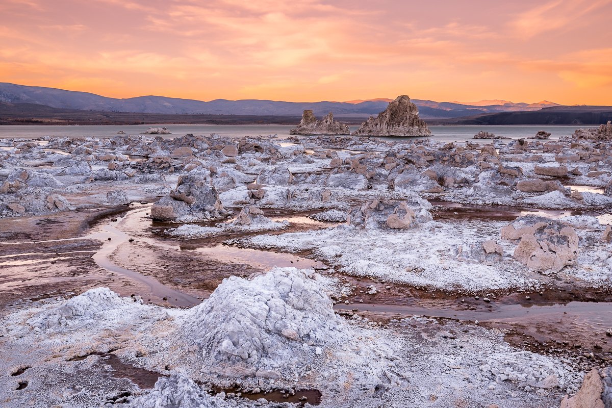
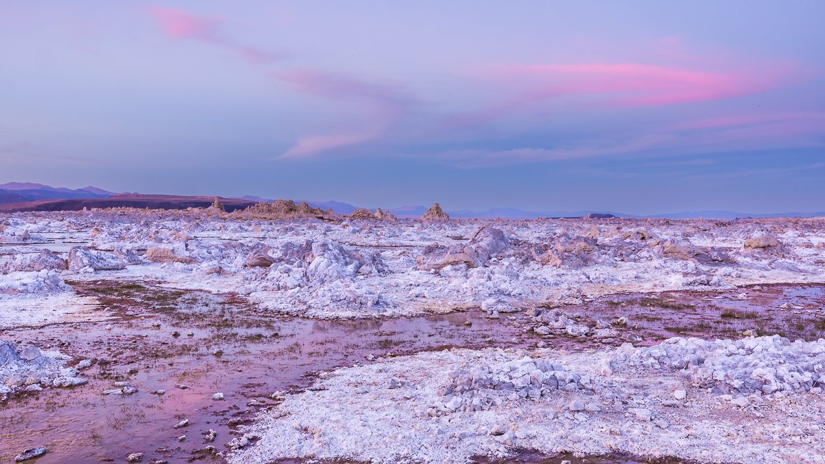
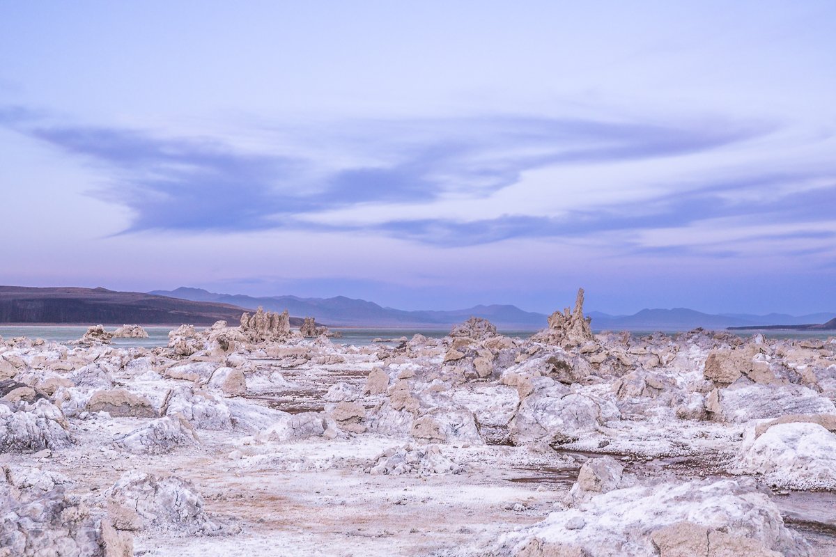
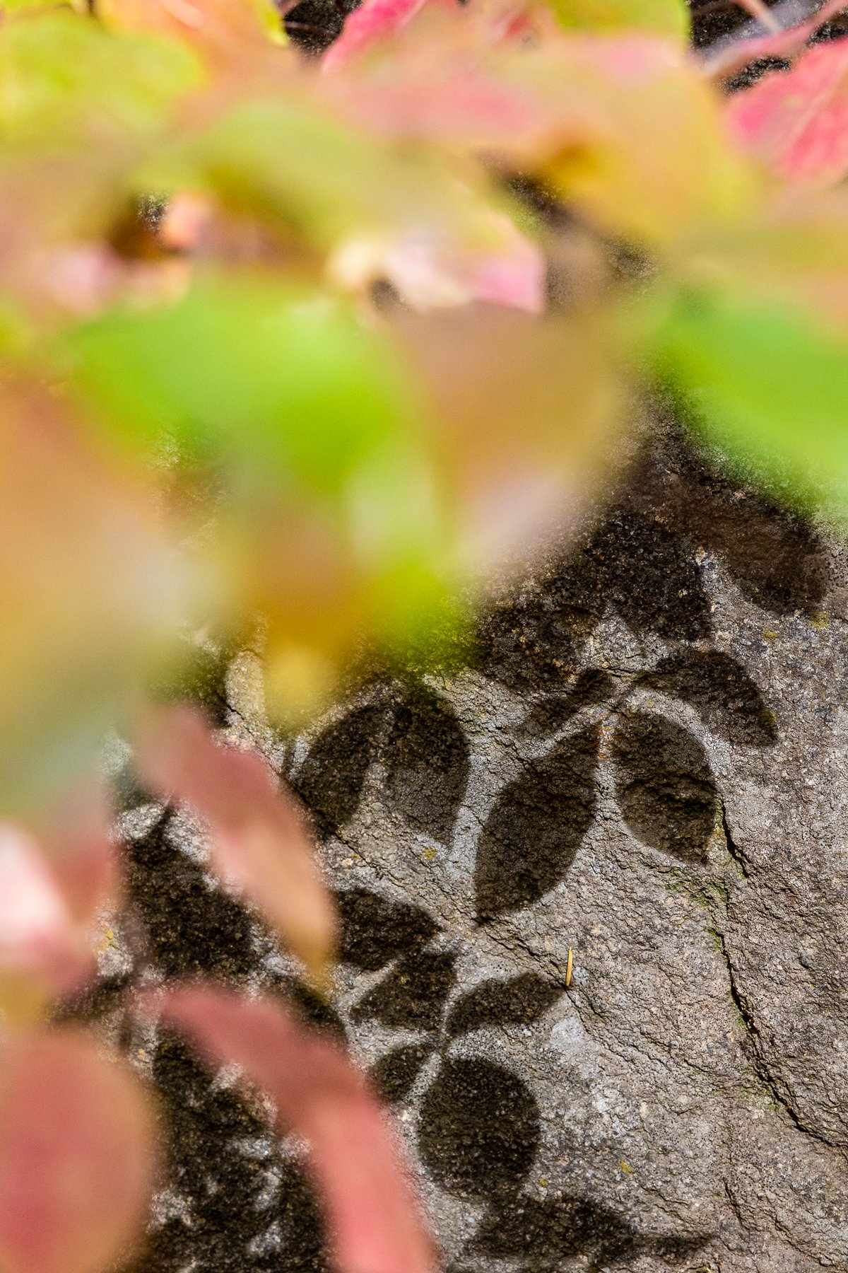
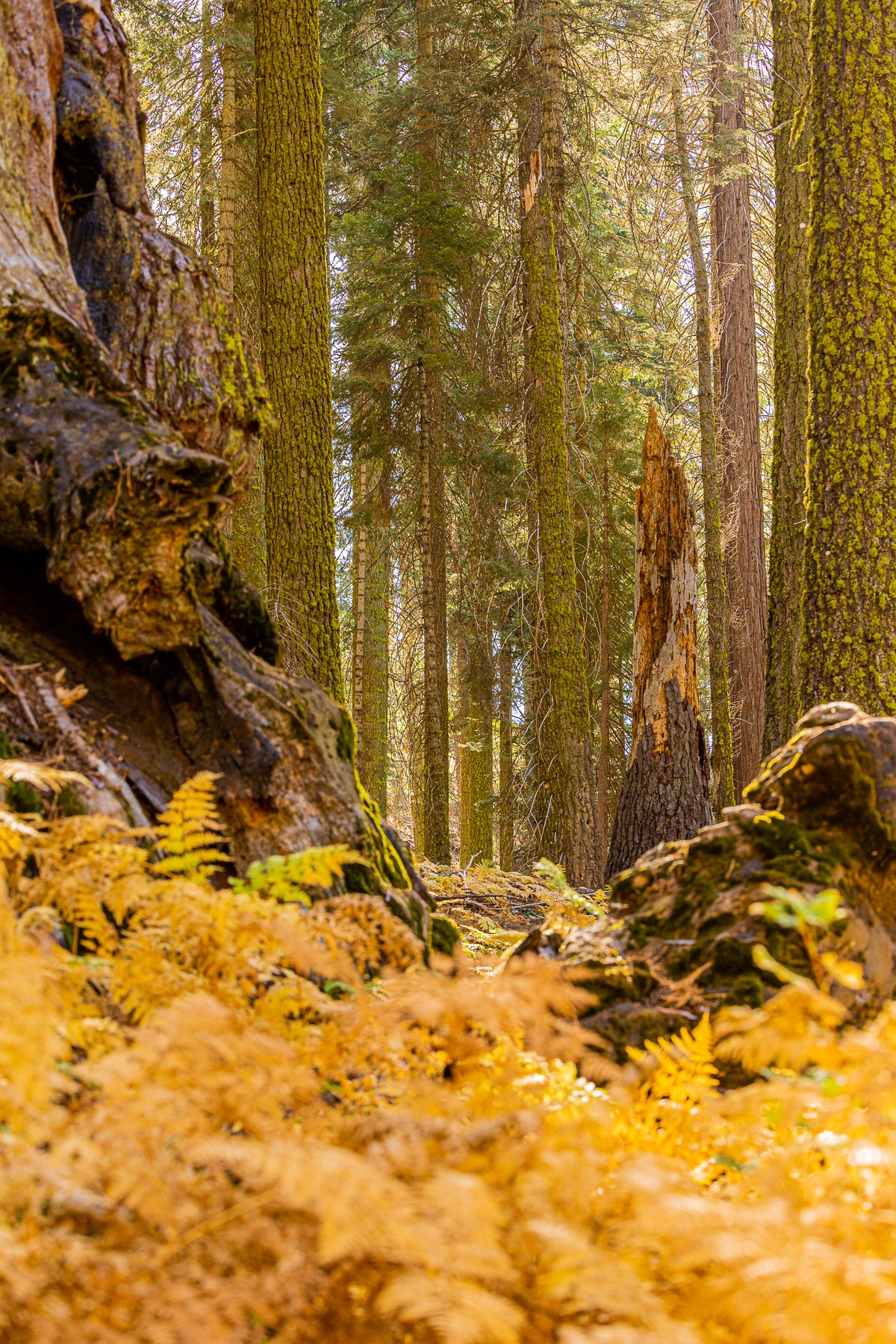
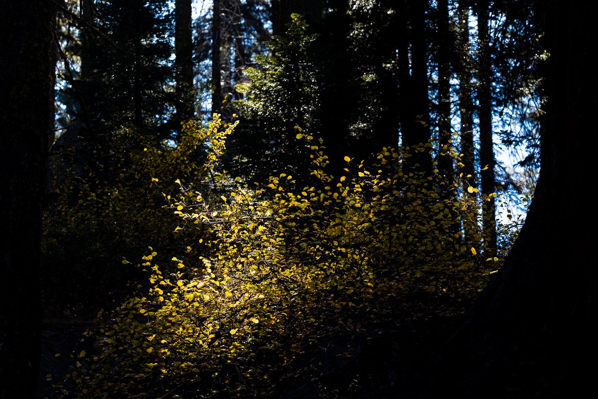
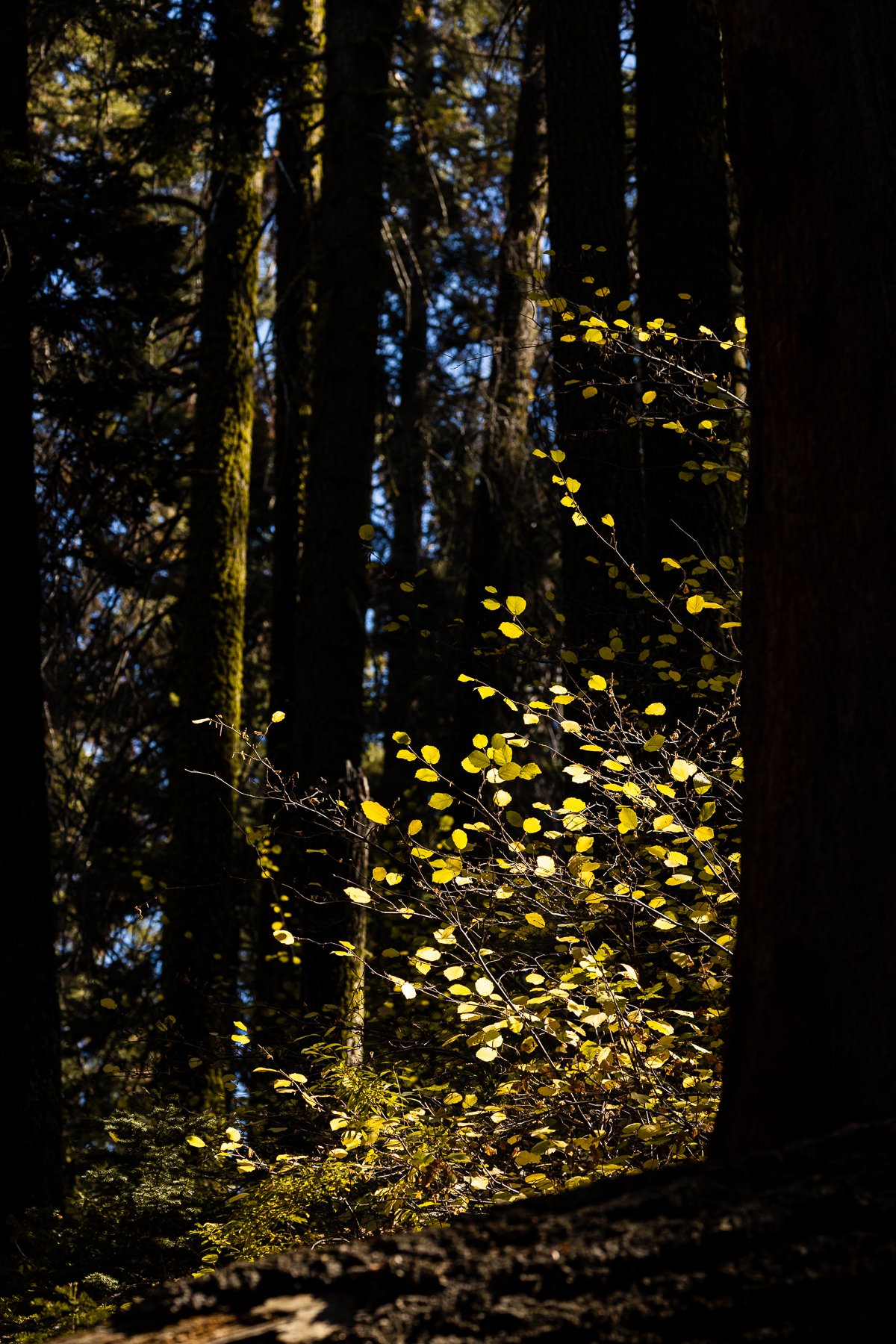
Photographing autumn in Mono County is a study in simplicity. Whether framing the iconic Conway Summit or the winding roads through the Eastern Sierra, the fall palette provides a natural allure that requires minimal embellishment. The play of light and shadow during this season adds depth to photographs, capturing the essence of Mono County's autumn without the need for elaborate descriptions. It stands in stark contrast to the eerie beauty of the tufas and the sulphurous environment surrounding them on the borders of Mono Lake, just a few miles away…

Mono Lake State Natural Reserve

Mono Lake State Natural Reserve, situated in California, is recognized for its unique ecological features. The reserve encompasses Mono Lake, a high-salinity body of water, renowned for the presence of tufa towers—limestone formations resulting from the interaction between freshwater springs and alkaline lake water.

One of the reserve's ecological highlights is its role as a vital habitat for migratory birds. During migration seasons, Mono Lake becomes a crucial stopover for thousands of birds, including California gulls and eared grebes. Mono Lake State Natural Reserve is managed with a focus on preserving its unique geological and ecological features.

Yosemite's Ecological Tapestry

Nestled within Yosemite National Park's majestic landscape, the meadows stand as unsung heroes of ecological significance. This collection of photographs offers a glimpse into the heart of Yosemite's meadows, showcasing their pivotal role in maintaining the park's delicate balance. Serving as biodiversity hotspots, these meadows host a rich tapestry of native flora, from delicate wildflowers to resilient grasses. Their open spaces provide vital habitats for wildlife, contributing to the park's diverse ecosystem.

Beyond their picturesque charm, Yosemite's meadows play a crucial role in the park's hydrological balance. Fed by streams and rivers, these meadows ensure a sustainable water source for both plant and animal life. As you explore these images, appreciate not only the scenic beauty but also the interconnected web of life that thrives within these seemingly serene landscapes.

I hope you enjoy these images of my morning strolls through these stunning grasslands on a cold winter’s day.

Along the Merced River

I had the privilege of capturing the serene beauty along the Merced River as the landscape unfolded in a quiet symphony of colors and light.

The Merced River, a significant watercourse in central California, plays a crucial role in the geography and history of Yosemite National Park. Originating in the Sierra Nevada mountains, the river flows for approximately 145 miles (233 kilometers) before merging with the San Joaquin River.The Merced River is integral to the landscape of Yosemite, providing the lifeblood for the diverse ecosystems within the park. It meanders through Yosemite Valley, showcasing iconic features like El Capitan, Half Dome, and Bridalveil Fall along its course.

In addition to its natural significance, the Merced River has historical importance, attracting explorers and settlers in the mid-19th century during the California Gold Rush. The river's flow and surrounding areas provided sustenance for Native American communities and later became a vital resource for pioneers and early settlers.

I hope you enjoy these tranquil images of Merced River on a frosty winter morning at Yosemite National Park.

Morning at Sentinel Bridge

Yosemite National Park holds a special place in the heart of any nature enthusiast, and for a landscape photographer, there's something enchanting about witnessing an early morning at Sentinel Bridge.

Sentinel Bridge has a rich history that intertwines with the park's development and the broader narrative of early exploration in the American West. Constructed in 1928, the bridge replaced an earlier wooden bridge that stood at the same location. The bridge owes its name to the sentinel-like view it provides of the iconic Half Dome, one of Yosemite's most famous granite formations. Its strategic positioning over the Merced River provides a breathtaking perspective of Half Dome's reflection in the water.

Photographing the early morning landscape at Sentinel Bridge isn't just about capturing an image; it's about embracing the soul-stirring beauty that Yosemite generously shares. It's a reminder that, in the quietude of dawn, nature's grandeur speaks loudest, leaving you with a collection of moments that echo the timelessness of this extraordinary place.

From Bear Valley to Hume Lake

Hume Lake in Kings Canyon National Park has a rich history that dates back to the late 1800s. Originally known as Bear Valley Reservoir, it was later renamed Hume Lake in honor of Frank Hume, a prominent businessman and philanthropist. Hume recognized the recreational potential of the area and played a significant role in its development as a popular destination.

In the early 1900s, a dam was constructed on Tenmile Creek, creating the picturesque lake that we see today. The lake was initially used to supply water for the Sanger Lumber Company's logging operations in the region. Over time, it also became a popular recreational spot, attracting visitors with its serene beauty and opportunities for outdoor activities.

In the 1940s, the Civilian Conservation Corps made significant contributions to Hume Lake's development. They constructed various facilities, including a campground, cabins, and a beach area, making it more accessible and enjoyable for visitors.

Today, Hume Lake continues to be a destination for camping, fishing, boating, hiking, and other recreational pursuits. Its rich history and natural splendor make it a cherished part of Kings Canyon National Park, inviting visitors to connect with the past while creating new memories in this scenic mountain retreat.

Leaf Peeping Among the Sequoias

Visiting Sequoia National Park during the autumn season - or fall, as we call it here -, I was greeted by a breathtaking display of vibrant foliage. At this time of year, the landscape transforms into a painter’s palette, with hues of red, orange, and yellow splashed across the bushes and trees. The contrast between the evergreen giants and the vivid autumn leaves created a picturesque scene that felt straight out of a postcard. Although it is not a popular destination in the autumn, the coloured foliage we did find made for some really lovely images.

A Journey Through Meadows

Join me on a peaceful walk through two lovely meadows in Sequoia National Park: Crescent Meadow and Log Meadow. These enchanting landscapes offer a serene escape amidst the towering sequoia trees.

Crescent Meadow, also known as "Meadow of the Little Baldy," was named by early visitors who noticed its crescent moon shape. This picturesque meadow has a rich history, as it served as a campsite for the Kaweah Colony, a short-lived utopian community in the late 1800s. Today, Crescent Meadow remains a popular destination for visitors to enjoy leisurely walks and spot some local wildlife.

Log Meadow, on the other hand, gets its name from the fallen sequoia logs scattered across the meadow. These logs are remnants of past natural processes, such as wildfires and the life cycle of the giant sequoias. They serve as a testament to the dynamic nature of the park and provide unique photographic opportunities.

Last Stop in Aotearoa

The Nelson Lakes National Park was the final destination on our travels through the South Island of New Zealand. The region is known for its large lakes with crystalline waters. In the winter, it also serves as a ski destination, nestled perfectly between the lakes and the surrounding alps. An excellent way to end our time in Aotearoa, and one of the very final places we had left to see here.

Keep an eye out for my blog posts over the next few weeks to see what I’ve been up to since moving all the way from New Zealand to the United States!

Abel Tasman Surroundings

The Abel Tasman region of New Zealand has many wonderful views to offer - green countryside, perfectly transparent water springs, and orange sand beaches! It is also at the very top of the South Island, meaning it has milder climate than most of the remaining island, and warm summers. Besides, the biggest city in the region, Nelson, has some of the best restaurants and wineries in all of New Zealand. It is no wonder the place is so popular with holidaymakers and retirees!

Below are just a few of my images from my brief visits to the Te Waikoropupū Springs and two of the local beaches…

The Caves of Karamea

The Oparara Basin Arches require a considerable detour to reach: they are at the very top of the West Coast region, near the town of Karamea. Despite the long drive, this is a truly must-see for every photographer visiting the South Island of New Zealand. The caves naturally frame the reflections of the surrounding landscape in the water, lending themselves to iconic images. I spent several hours at this location, enjoying the complete silence of nature afforded by their isolation, and the majesty of these geological formations.